


A late winter snow blast driven by a 14F Canadian plunge threatens to bury swaths of the US under a foot-deep Arctic blanket.
An ‘anticyclonic’ freeze-zone spanning more than 2,000 miles is about to send thermometers plummeting.
Freezing rain, snow and bitter winds will sweep northern states on the tail of a storm-laden cold front.
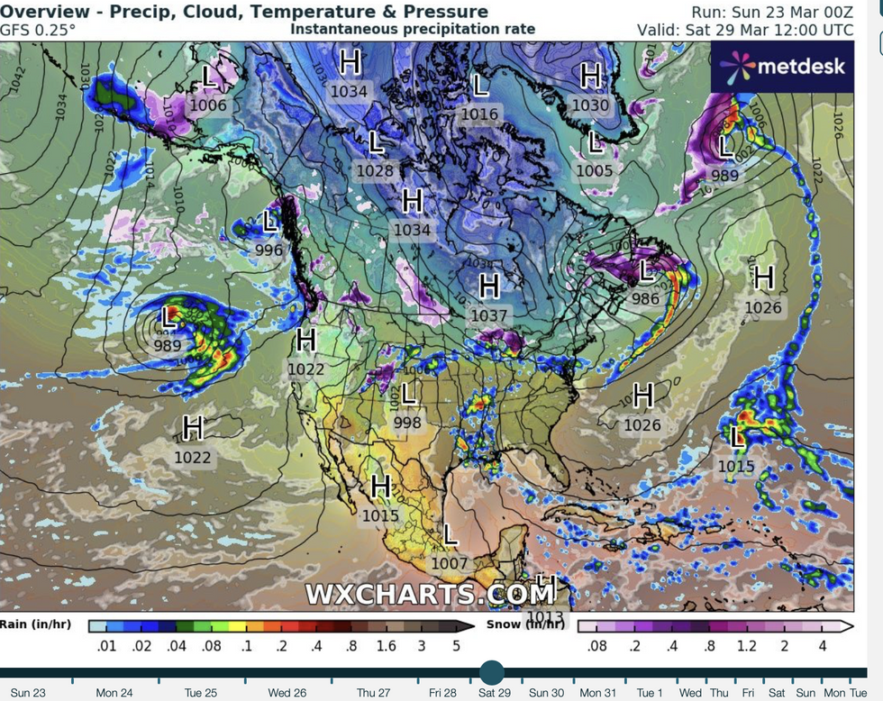
A battlefront trio of high-pressure anticyclones queued from the northwest to the east coast will plunge half of the nation back into winter.
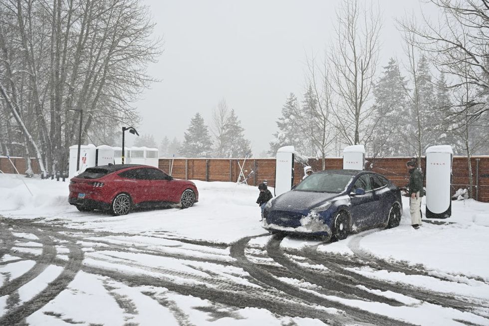
Large parts of the US could be blanketed with snow a foot deep
GETTY
A spokesman for the US National Weather Service (NOAA) said: “A wintry mix of freezing rain and moderate snow is expected to the north.
“Winter Weather Advisories are in place from northern Minnesota and Wisconsin into Michigan for snowfall of of three to six feet.“
The chance of precipitation will spread into the Lower Great Lakes and the Upper Ohio Valley and Northeast late into Monday as the system moves eastward.
“Higher elevations of the northern Cascades and northern Rockies will see another round of heavy snowfall with totals over a foot possible.”
Northern states face a lengthy spell in the freezer with the cold to dig in through the middle of spring.
A huge cold front sweeping in from the North Pole will drag a plume of Arctic air across the region.
LATEST DEVELOPMENTS:
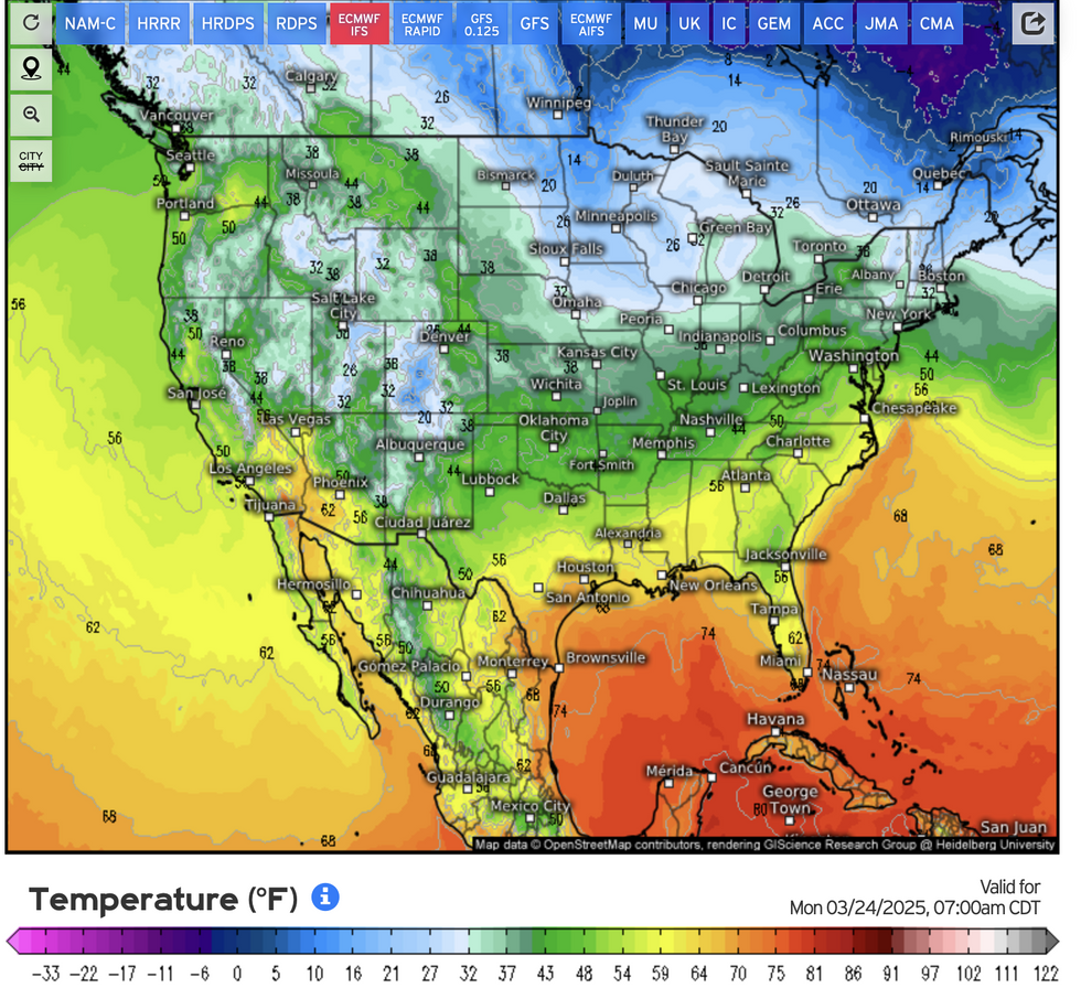
Northern states face a lengthy spell in the freezer with the cold to dig in through the middle of spring
Jim Dale, US meteorologist for British Weather Services and co-author of ‘Surviving Extreme Weather’, said: “This looks like it is going to be a prolonged cold spell with some very low temperatures coming in from Canada and the Arctic.
“This is winter really hanging on across the region brining the risk of snow, freezing rain, you name it, across a broad region from the north and across the Midwest and the east. This is not going to recover very quickly.”
Cold weather will be driven in part by three high pressure ‘domes’ stretching across the middle of the country.
Aiding winter’s return is the jet stream, which shunted south is keeping any hint of summer warmth locked across Gulf States.
Dale said: “The jet stream has pushed southwards, and this is part of the reason for the very cold weather getting a grip on northern regions with any warmer air confined to the south.
“A big cold front to the north is also dragging ribbons of cold air over the country from Canada, and while this is going to bring a mix of weather conditions, the main theme for the region is going to be hail, snow and freezing rain.”
Cold weather will be driven in part by three high pressure ‘domes’ stretching across the middle of the country
WXCHARTS
America will stay on the ‘temperature roller coaster’ through the end of March’s ‘chilly surprise’.
But while the north of the country freezes, temperatures to the south will rise above average for the time of year.
Weather Company meteorologist Tiffany Savona said: “The temperature roller coaster continues.
“It is still chilly across the norther tier, so don’t put those winter coats way just yet.
“The spring like warmth really settles in early next week from Seattle to Vegas down to Dallas with temperatures a good 10F to 25F degrees above average.
“But make sure you open those windows during the day, because many of you will need to turn on the heat at night.”
