Americans warned to brace for deadly ‘derechos’ thunderstorms
Accuweather
The storms can flatten farmland, wreck buildings and topple trees
Don't Miss
Most Read
Trending on GB News
America’s weather woes are about to worsen amid warnings to brace for deadly ‘derechos’ – colossal 60-mile thunderstorms driven by 100mph winds.
Volatile atmospheric conditions through the coming weeks will drive ‘fast-moving thunderstorm clusters’ across swaths of the country.
Surging tropical heat crashing into cooler air to the north will create a spawning ground for deadly derechos, experts warn.
The storms, known as ‘inland hurricanes’, can flatten farmland, wreck buildings and topple trees.
 Americans warned to brace for deadly ‘derechos’ thunderstorms Accuweather
Most at risk will be the Midwest across to the Great Lakes, according to AccuWeather meteorologist Jon Porter.
He said: “There is an increased risk of at least one derecho in this area, a thunderstorm complex with a width of at least 60 miles, over the coming weeks.
“Sometimes it can feel like an inland hurricane, although it’s a completely different meteorological setup.
“Sometimes the most intense clusters of storms can produce damaging wind gusts of 80 to 100mph.”
Derechos can whip up tornados in their path, with giant hail and torrential rain sparking devastating floods.
A derecho hit Texas last year leaving more than a million people without electricity and causing billions of dollars of damage.
US LATEST:
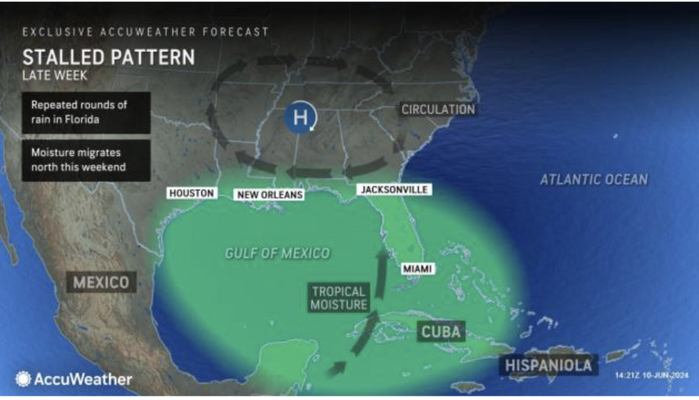
Tropical moisture moves north
AccuWeather
In 2020, a monster derecho travelled 800 miles across the Midwest, downing trees and damaging buildings.
Porter said: “Flash flooding, large hail, isolated tornadoes, and wind gusts topping 100 mph are also possible in a derecho.
“We’re at the most active severe weather season since 2011 and the number two most active since 1950.
“Many communities have had tornado impacts, and some of these have been particularly strong, causing lots of damage and tragically some fatalities.”
Violent storms over the past weeks have been driven in part by searing heat sweeping in from Mexico.
This has ploughed energy into the atmosphere and fired up the jet stream as it meets cooler air from the north.
Temperatures are forecast to soar past 100F this week as experts warn parts of the country are reaching ‘boiling point’.
Jim Dale, US weather correspondent and meteorologist for British Weather Services, said: “The heat and energy in the atmosphere is going to bring an ongoing risk of unusually strong storms.
“It is like a pan of milk reaching boiling point, the pan is about to boil over and this is when we could see extreme storm activity.
“This extra venom in the atmosphere needs to be watched as there is the potential for further dangerous weather.”

Weather warnings in place in Florida
The Weather Channel
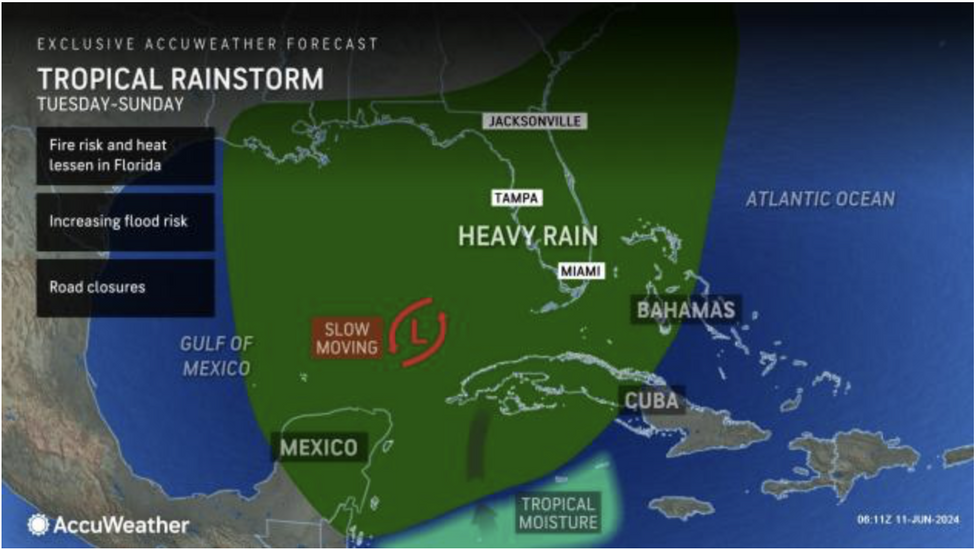
The US National Weather Service (NOAA) is warning of thunderstorms and heavy rain driven by a ‘plume of tropical moisture’ from the Gulf of Mexico.
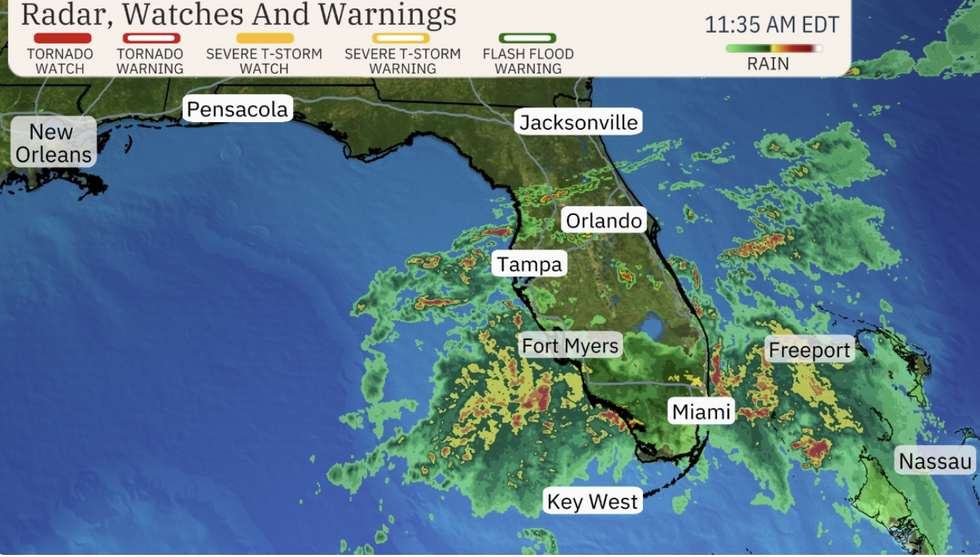
A spokesman said: “Tropical moisture will continue to produce showers and thunderstorms with heavy rain over parts of southern Florida.
“Associated heavy rain will create mainly localised areas of flash flooding, with urban areas, roads, small streams, and low-lying areas the most vulnerable.”
Weather Channel meteorologist Jonathan Erdman added: “Florida is poised for soaking rain this week with rounds of heavy rain expected at least until Friday.
“While this will bring relief from the drought in central and south Florida, it will also trigger local flooding.
“The National Weather Service has posted a flood watch across much of South Florida, including Miami, Fort Lauderdale and Naples.”


