
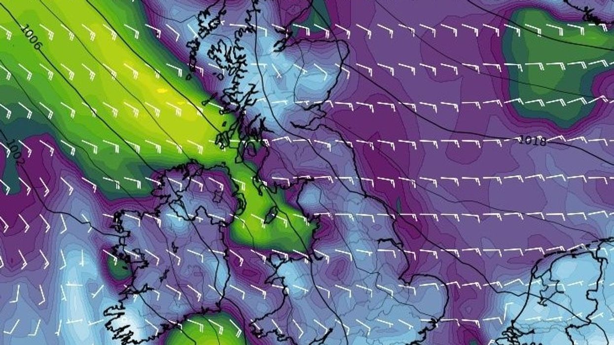


Strong easterly winds of 60 miles per hour look set to batter Britain as the Met Office issues a yellow alert for Friday.
A yellow wind warning is in place from midnight until 6pm.
It will cover parts of north west and west Wales, including Ceredigion, Conwy, Gwynedd, Isle of Anglesey, Powys.
The Met Office said: “Locally strong and at times gusty easterly winds are expected to develop to the west of high ground overnight.
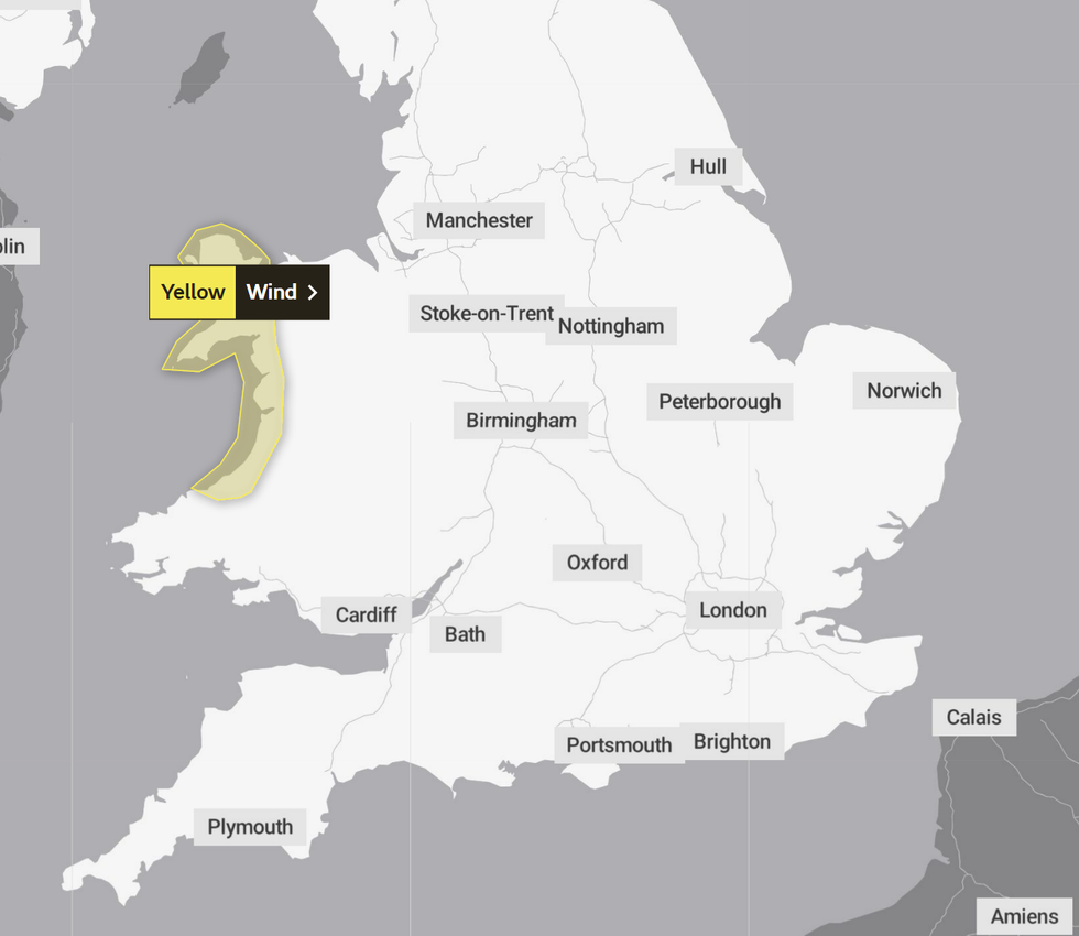
The Met Office's yellow wind warning is in place in parts of Wales
|Met Office
“Thursday into Friday, with gusts of 44-55 miles per hour likely.
“There is a small chance a few places could see gusts in excess of 60 miles per hour.
“This may lead to difficult conditions for holiday traffic on Friday, and could result in a few fallen trees affecting some roads and railway lines.
“Temporary structures across campsites and outdoor events could be damaged.”
The UK’s national service identified several potential adverse consequences caused by strong winds.
Travel delays and cancellations due to fallen trees remain possible, temporary structures could be damaged and there remains a chance for residents to experience shortages of power.
However, strong winds look set to coincide with heavy and thundery bands of rain.
The Met Office’s outlook for Friday to Sunday warned: “Bands of heavy and thundery rain pushing northeastwards on Friday.
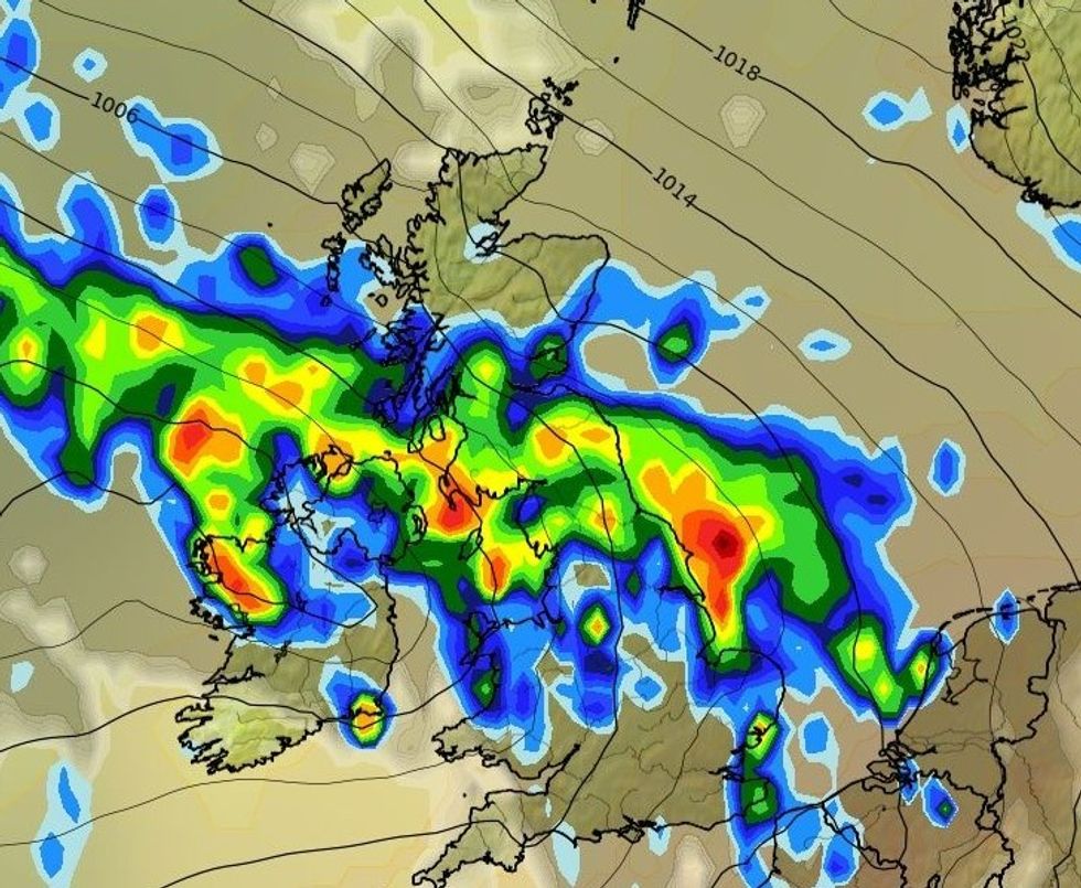
The UK is also expected to face heavy rains over the weekend, WXCHARTS has said.
|WXCHARTS
“Some hot sunshine in between. Sunny spells and showers Saturday and Sunday. Breezy, but still warm towards the southeast.”
Looking ahead to the remainder of August, the UK’s national weather service added: “This period will likely begin rather changeable, breezy conditions with a mixture of sunshine and showers, possibly heavy at times in the north and northwest, and drier, sunnier, and fairly warm weather in the south and southeast of the country.
“There is potential for some very warm or even hot conditions to develop from the south for a time next week, though the northwards extent and longevity of any heat is very uncertain.
“Should hotter weather develop, this could also bring the chance of thunderstorms either within it, or as the heat breaks down and less warm conditions resume.
“The forecast for the end of August is very uncertain, but current indications suggest rather changeable conditions with temperatures near or a little above average.”