


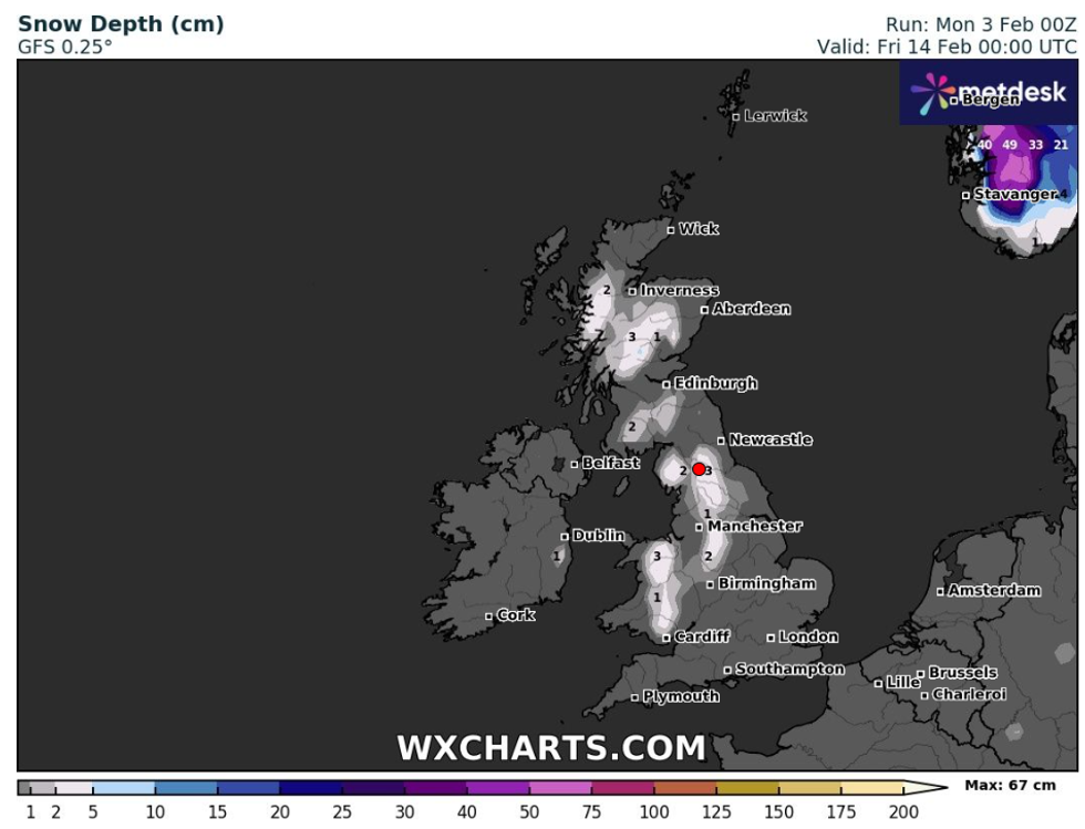
Both love and snow are in the air this Valentine’s Day, with large swathes of the UK to see snow fall.
Urban and rural areas across England, Wales and Scotland will see up to 3cm of snow settle on February 14.
Manchester and Cardiff are expected to see 1cm, while in the Scottish Highlands and Peak district, up to 3cm is forecast, according to weather maps from WXCharts.
The Met Office has warned that “wintery showers” could develop in some parts of the UK during this time.
Both urban and rural areas across England, Wales and Scotland will see up to 3cm of snow settle on February 14
WXCharts
In its long-range forecast from February 7 to February 16, the weather office said: “High pressure will sit close to (and probably to the east of) the UK in this period.
“Consequently, southern and eastern areas are likely to see the driest conditions, with lightest winds, which could lead to overnight frost and fog with temperatures a little below normal.
“Further north and west, there is a risk of incursions of Atlantic air and frontal systems at times, which would bring some rain here, but with milder temperatures.
“There is a very low chance that if the high orientates in such a way that a more easterly (rather than southerly/southeasterly) flow develops, a spell of much colder conditions could develop across the UK, with a risk of wintry showers in some parts.”
WEATHER LATEST:
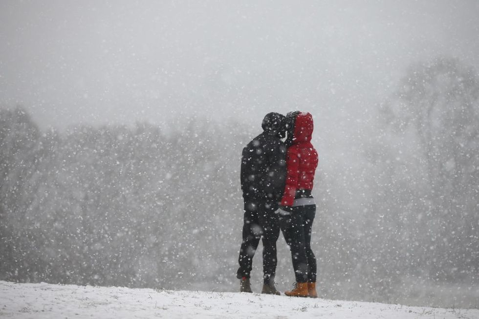
Both love and snow are in the air this Valentine’s Day
Getty
In areas where the snow falls, the temperature will also drop. The evening before Valentine’s day will see lows of -4, and while temperatures will warm up slightly on February 14, a chilly 0C is predicted in Manchester and Northern Wales.
Nick Finnis, a forecaster at Netweather, said that an Atlantic frontal system coming over from the west could bring snow “if the air is cold enough by then”.
He said: “Some rain and hill snow may reach the north and west, but could progress towards the east on Saturday too, which could be a cloudier day and on the cold side.
“On Sunday, most models agree that high pressure will rebuild across the north and to the northeast, with winds turning easterly and colder, drier continental flow establishing into early next week.”
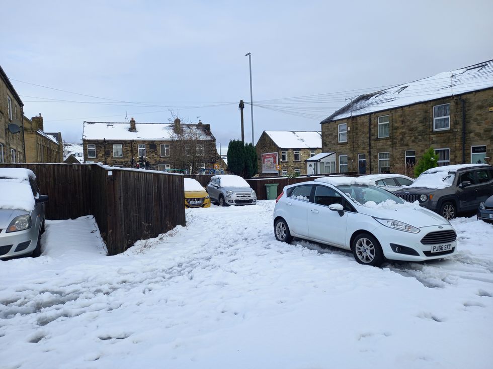 Large swathes of the country have been blanketed by snow in JanuaryPA
He said that there could be a stratospheric polar vortex (SPV) over the next week or two, developing into a sudden stratospheric warming (SSW).
In an explainer about the polar vortex, the Met Office said: “Every year in winter, strong westerly winds circle around the pole high up in the stratosphere.
“This is called the stratospheric polar vortex and it circulates around cold air high over the Arctic. In some years, the winds in the polar vortex temporarily weaken, or even reverse to flow from east to west.
“The cold air then descends very rapidly in the polar vortex and this causes the temperature in the stratosphere to rise very rapidly, as much as 50C over only a few days; hence the term sudden stratospheric warming. As the cold air from high up in the stratosphere disperses it can affect the shape of the jet stream as the cold air sinks from the stratosphere into the troposphere. It is this change in the jet stream that causes our weather to change.”
However, he said there is still some “uncertainty” on when and whether the “cold easterly flow” could hit the UK.
