


Britain’s Easter run-up will get a jolt from across the Atlantic with storms hammering the US to supercharge a conveyor belt of holiday-drenching wind and rain.
Clear skies and sunshine will this week give way to hefty downpours and plunging temperatures pulled in on the jet stream.
After weeks of dry weather, April showers will finally appear after the weekend turning heavier by mid-week.
The jet will be fired up by battling weather systems which have plunged parts of America into a second winter.
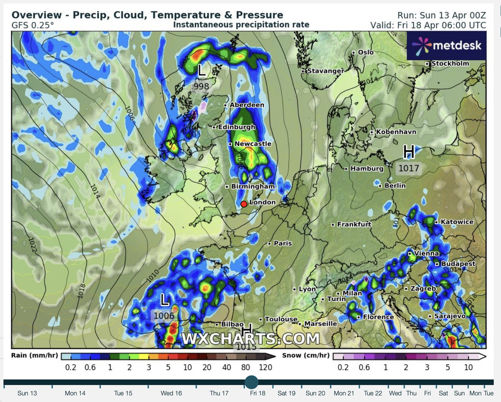
After weeks of dry weather, April showers will finally appear after the weekend turning heavier by mid-week
WXCHARTS
UK weather experts examining forecasting ‘members’ – a range of potential weather scenarios – warn a change is afoot.
Met Office meteorologist Honor Criswick said: “There is a chance we could see some poorer conditions move up from the southeast.
“Some of the members show something more widespread with heavy rain pushing into Wales and northern England and perhaps into Eastern Scotland and a widespread unsettled day and that warmer plume pushes up across the south.
“There is a change into something a bit more changeable particularly into the beginning of next week.”
Low pressure is being steered into the UK by the jet stream which has been given a boost thousands of miles away in the United States.
Battling weather systems, bringing 38C heat to the south and Arctic cold to the north, are at their meeting point driving strong jet winds.
LATEST DEVELOPMENTS:
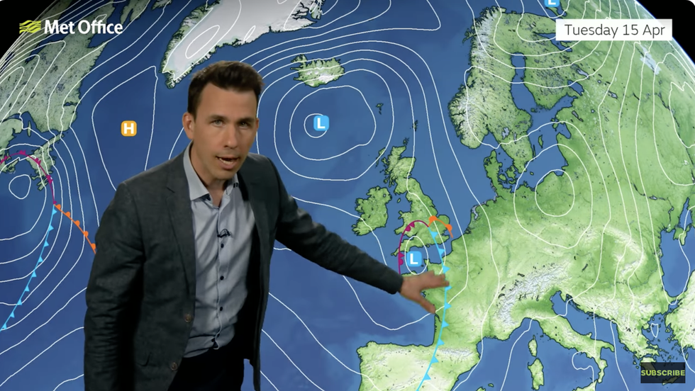
Met Office’s Aidan McGivern warns of stormy weather ahead
MET OFFICE
The jet stream acts as a strengthener and carrier for low-pressure in the Atlantic, pushing stormy systems towards the UK from the west.
Jim Dale, meteorologist for British Weather Services and social commentator, said: “Over the next couple of days in the US, cold weather comes down from the north and meets warmer weather to the south and that drives the jet stream which we are going to pick up on our side of the Atlantic.
“This is going to drive a low-pressure-dominated regime and bring a real change from what we have seen recently.”
Jason Nicholls, lead international forecaster for AccuWeather, added: “This week will be cooler and wetter compared to recently, with temperatures near to below normal in places.”
Temperatures in the mid-20Cs will nosedive into the low-teens, dropping overnight in places to freezing,
Low pressure, the driver of wind and rain, will plough in from the west, barging out high pressure which has so far this spring dominated the weather.
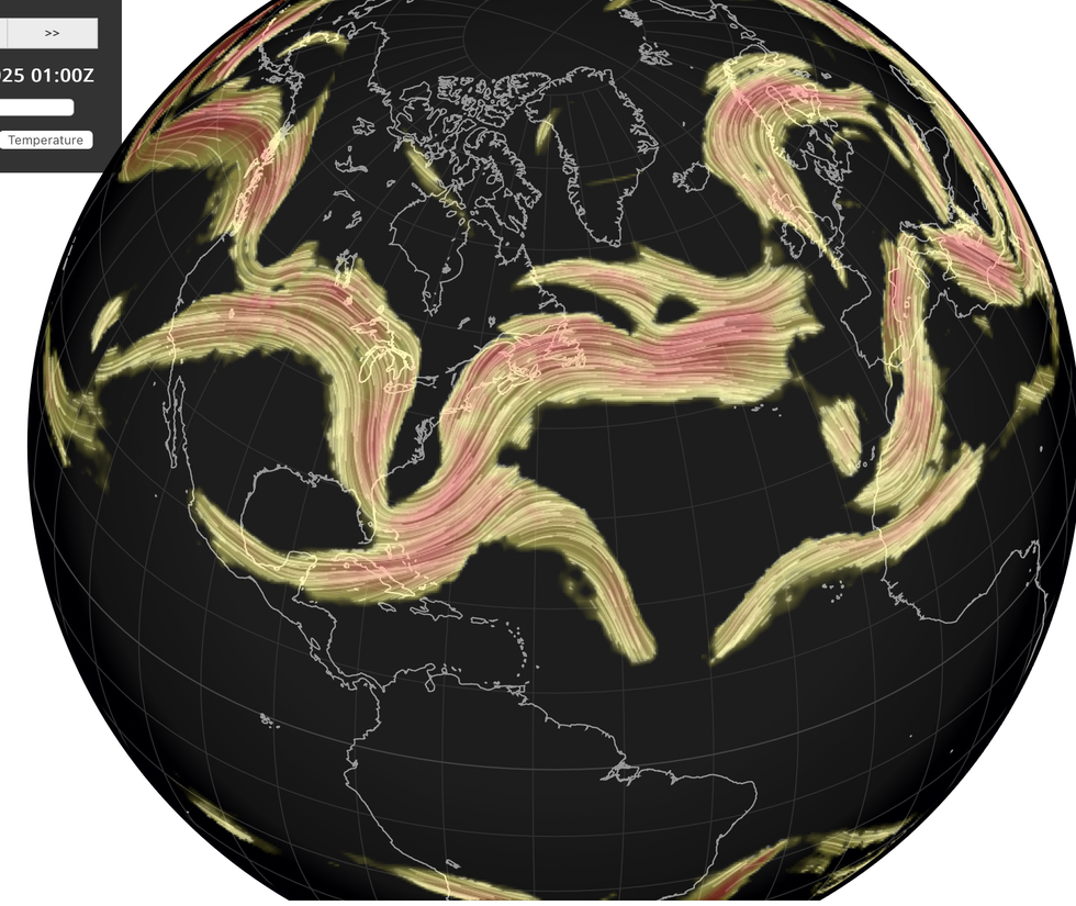
The jet will be fired up by battling weather systems which have plunged parts of America into a second winter
NETWEATHER
Met Office meteorologist Aidan McGivern warned Britons to brace for ‘changing weather elements’ through the next week.
He said: “On Monday, another showery day is expected particularly in the west before an area of low pressure moves up from the south Monday night into Tuesday, bringing not showers, but more widespread wet weather and the potential for very heavy rain across parts of the UK.
“But there is a lot of uncertainty about this system.”
The soggy forecast has not put off bookmakers from slashing the odds on spring heat, with Coral offering 5-4 from 2-1 on an April scorcher.
Spokesman John Hill said: “It is going to feel more like summer than spring over the next couple of days, and with the mercury set to continue to rise, we have slashed the odds on this month ending as a record-hot April.”
