


Britain’s weather is about to take an unexpected U-turn with rain, thunder and hail to give way to spring sunshine.
After a miserable end to the Bank Holiday, temperatures mid-week will rocket above average for the time of year.
Yo-yoing forecasting models are finally settling on a return of high pressure and better weather.
While parts of the country will wake to chilly mornings under a northerly wind, for most, it is a return to the warmth.
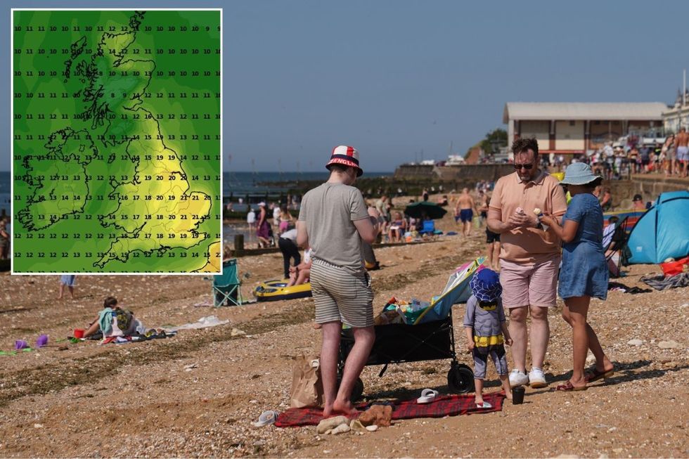
A UK weather map alongside people on a beach in Norfolk
PA/WXCHARTS
Met Office meteorologist Alex Burkill said: “We are starting to see higher pressure to the north pushing its way south.
“Towards Wednesday that is becoming even more dominant, and it is worth bearing in mind that the wind coming round this high is dragging in air from the north and the northeast which is not an especially warm direction, so there could be some chilly nights.
“On Thursday and Friday, high pressure is likely to be sitting across us, and many of the models are in agreement that we will see high pressure sitting somewhere towards the UK.”
The return to fine weather will be driven by high pressure edging in from the north, pushing out the unsettled low behind the Easter rain.
LATEST DEVELOPMENTS: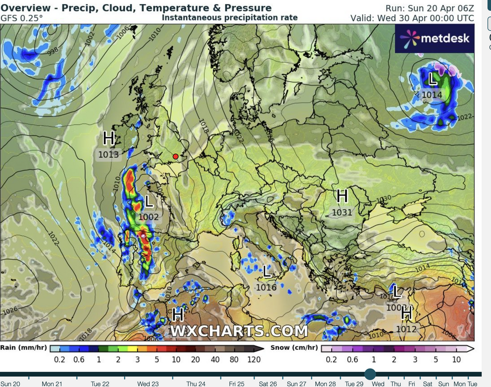
High and dry next week
WXCHARTS
Weather models are still unsure of the exact landing spot of the high, with a more southerly position promising higher temperatures.
However, meteorologists agree that after a mixed forecast before Easter, the weather is about to change lanes for the better.
Burkill said: “I have higher confidence in the story that we are going to see high pressure returning and something more settled towards the middle to end of next week.
“The position of the high pressure is important, and the model members are all different.
“Most of them go with high pressure somewhere towards the UK, so the detail is not there yet, but I am fairly confident that we are going to see higher pressure returning.”
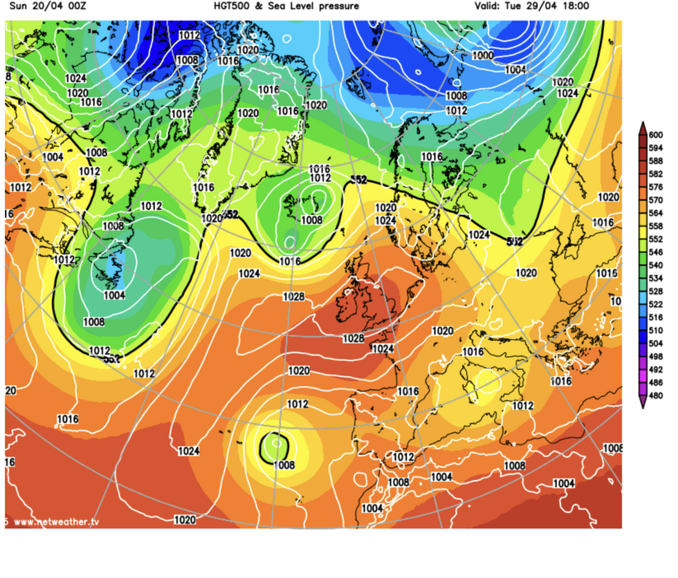
Temperatures on the rise
NETWEATHER
A northerly high will pull in cooler winds and bring the risk of overnight frosts to exposed parts of the north.
But the strong April sun will burn off any wintery starts to bring temperatures nudging 20C.
Jim Dale, meteorologist for British Weather Services and social commentator, said: “I think that the high will be further north, and if that comes off, there will be some chilly starts and lower temperatures than if it were further to the south.
“But the strength of the sun at this time of year, over clear skies, will mean it will feel very pleasant and warm at times.
“From the middle of the week, there is a change from the wet and miserable weather to something much nicer.”
AccuWeather’s lead international forecaster Jason Nicholls added: “After rounds of showery rain earlier in the week, there are some models, although there are differences between them, showing a drier and brighter patter, while others show the chance of rain.
“I think it is more likely we see a drier and brighter picture in the south with the greater chance of rain in the north.”
Most read


More


