


A stormy deluge driven into Britain by a deadly mega-freeze hitting America will end winter in a burst of ‘autumn’.
Temperatures will rocket into the mid- to high-teens over the coming days, but those hoping for sun will be disappointed.
Miserable south-westerly winds driven by a jet stream fired up by cold weather in the US will make it feel more like autumn than spring.
Met Office meteorologist Aidan McGivern said: “Very cold air is spreading across North America, and that is relevant to our weather, because whenever we get that kind of situation, it clashes with warmer air over the tropics and strengthens the jet stream, and a stronger jet stream often results in more unsettled weather.
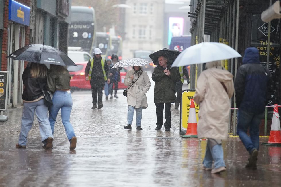
It's going to look more like autumn than winter
PA
“Deep areas of low pressure heading our way, so expect it to be windy, and those winds are coming from the southwest instead of the southeast so expect it to be milder.
“But these kind of systems are going to make it feel more like autumn, I suspect over the next few days as it is going to be very unsettled.”
Britons heading out this weekend are urged to make the most of Saturday before Sunday opens the gates to the Atlantic.
Northern and western regions are in the firing line for the worst of the weather with no change likely until March.
McGivern said: “The strongest winds on Sunday will affect western Scotland southwest Scotland Irish sea coasts and northern Ireland but it will be blustery everywhere.
“On Monday, most of the UK is sitting close to the jet stream or to the north of it, and we are going to get a strong westerly influence with low pressure towards Iceland and higher pressure towards the Azores.
LATEST DEVELOPMENTS:
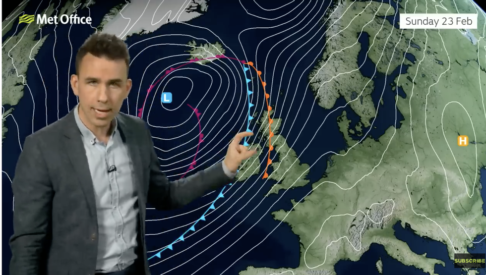
Aidan McGivern describes low pressure bringing unsettled weather
MET OFFICE
“Temperatures will be around average with very changeable weather expected, and that is the signal for the next couple of weeks, at least for the rest of February.”
The drastic U-turn is being driven by a freak cold spell pushing temperatures in America below minus 20C.
A surge of Arctic air clashing with mild, tropical air to the south is fuelling the jet stream on its path across the Atlantic.
The jet is frequently the driver for low-pressure storms systems, strengthening and steering them towards the UK.
The Met Office has a near-nationwide wind warning in force on Sunday, with gusts possible of 70mph.
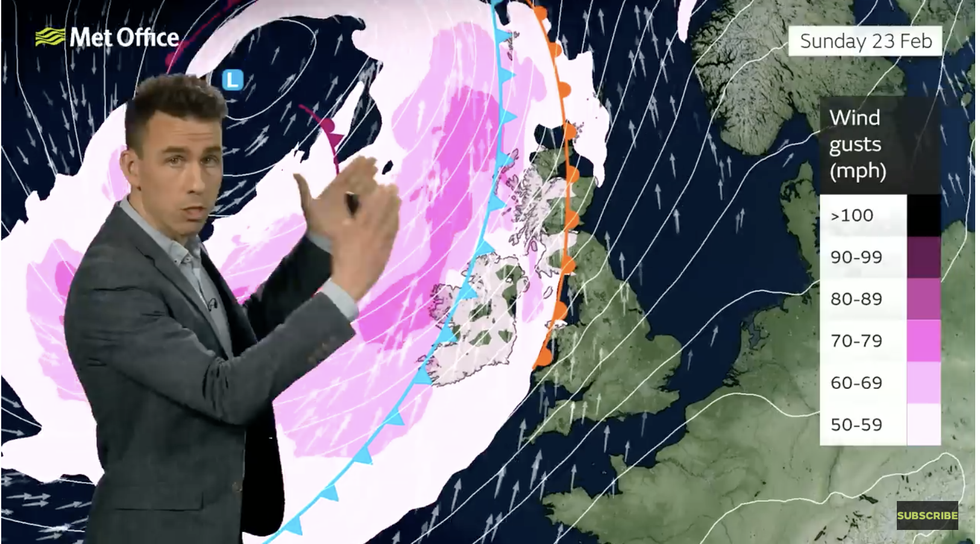
Aidan McGivern describes windy weather on the way
MET OFFICE
Jim Dale, meteorologist for British Weather Services and social commentator, said: “Frontal systems will continue to come through over the next few days and bring unsettled conditions, although it will feel milder.
“Temperatures are likely to hit 13C or above this weekend, but this is because of winds coming in from the southwest and they will bring unsettled weather.
“There is the potential for disruption and localised flooding from the weekend.”
Met Office deputy chief meteorologist Mike Silverstone said: “While Saturday should provide respite for many, Sunday will see more wet and windy weather sweep east across the UK.
“There’s a potential for further warnings on Sunday as details are firmed up.”
