


The corpse of a tropical Atlantic storm threatens to ‘take a wrecking ball’ to Britain’s settled weather.
Sunshine and calm skies are about to give way to ‘potent’ thunderstorms, heavy downpours and hail.
High pressure which has driven the mild spell will be shoved out by a barrage of lows from the Atlantic.
Amid these could be the remains of Tropical Storm Gordon – a cyclonic system which whipped up the Atlantic earlier this week.
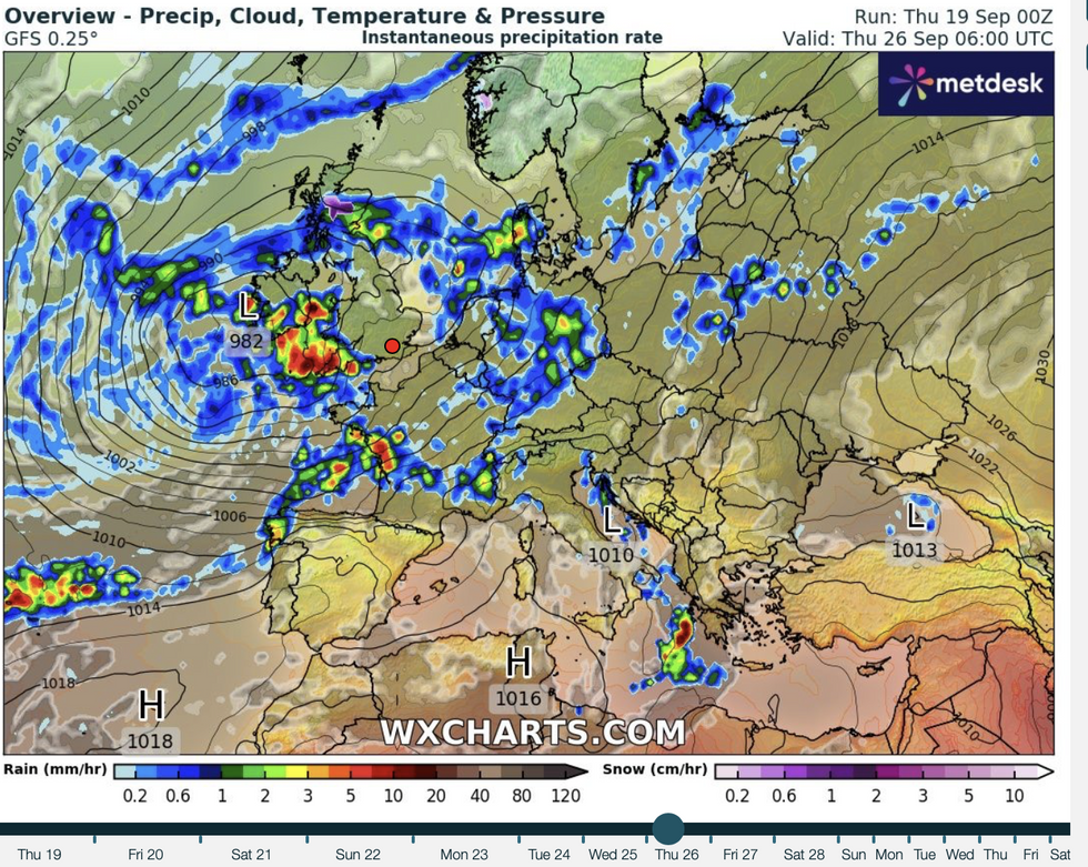 Atlantic storm threatens to take ‘wrecking ball’ to Britain as thunderstorms loomWX charts
Jim Dale, meteorologist for British Weather Services and social commentator, said: “Gordon’s remains could potentially take a wrecking ball to the fine weather we have been seeing over the past week.
“Energy associated with former tropical storm’s remains is likely to get caught up in the jet stream and head towards the UK, and depending on what track this takes, it could bring some very unsettled weather.
“In any case, it is safe to say there is a change on the way with more in the way of wind and rain to come through the latter part of the month.”
Britain’s weather is about to go through a major change, as the jet stream shifts pulling in low pressure from the Atlantic.
LATEST DEVELOPMENTS: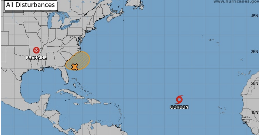
Tropical Storm Gordon in the Atlantic
US National Hurricane Centre
High pressure will weaken, allowing a spate of lows to dominate the picture through next week, according to the Met Office.
Met Office meteorologist Alex Deakin said: “There are a couple of big changes in our weather patterns likely over the next 10 days, and that does mean we are likely to see some wet weather.
“Settled conditions are because of the jet stream way up to the north taking low pressure systems to Iceland and allowing high pressure to dominate.
“The jet stream is still to the north next week, but weakening, it is what is going on out in the Atlantic and that is likely to mix things up as we go into next week.
“The jet stream is getting more lively and it is getting more south shifted and that is likely to bring low pressure systems our way.”
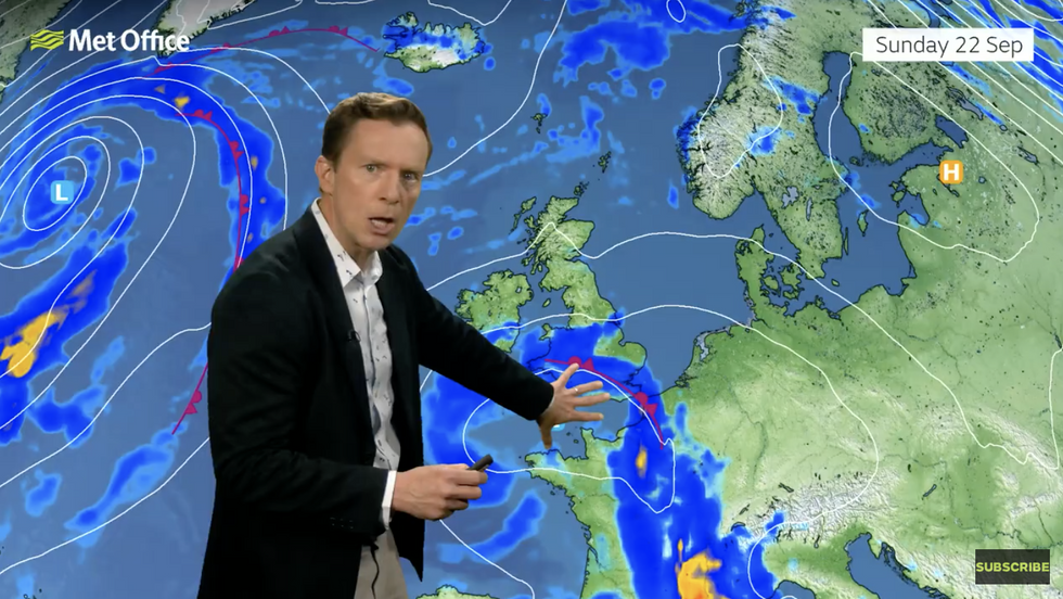
Alex Deakin warns low pressure is on the way
Met Office
A ‘pool’ of cold air high in the atmosphere will help drive the change, speeding air currents and unleashing downpours.
A ‘potent’ storm could be gearing up to strike ahead of mid-week bringing the heaviest showers to southern Britain.
Deakin said: “Next Tuesday shows quite a potent area of low pressure to the south and the west of the UK and that could bring us some wet and windy weather at some point through the early to middle part of next week.
“A cold pool is moving in across southern Britain high in the sky, and that allows the air to rush up more readily.
“Faster rising air generates more in the way of showers, and this is what we call a cold pool, and it is going to generate some showers on Friday, and some heavy downpours are likely with some rumbles of thunder and even some hailstones.”
The grim outlook has prompted bookies to about-turn on the autumn weather odds with Ladbrokes slashing the odds on a cold September.
Spokesman Alex Apati said: “Summer is seemingly long gone, and any hopes of an extended burst of sunshine have been dashed in the last few days.
“This month could now be breaking records for all the wrong reasons on the weather front.”
