


A Scandinavian ice dome creeping over Britain will keep the nation locked in the freezer until spring.
Blistering temperatures and Baltic winds will blight the UK for at least the next fortnight, experts warn.
While heavy snow or a 2018-like Beast from the East are unlikely, so are hopes of early spring warmth.
A dome of high pressure wedged over Scandinavia will edge closer this week, drawing easterly winds and pushing thermometers below freezing.
Temperatures are set to plummet
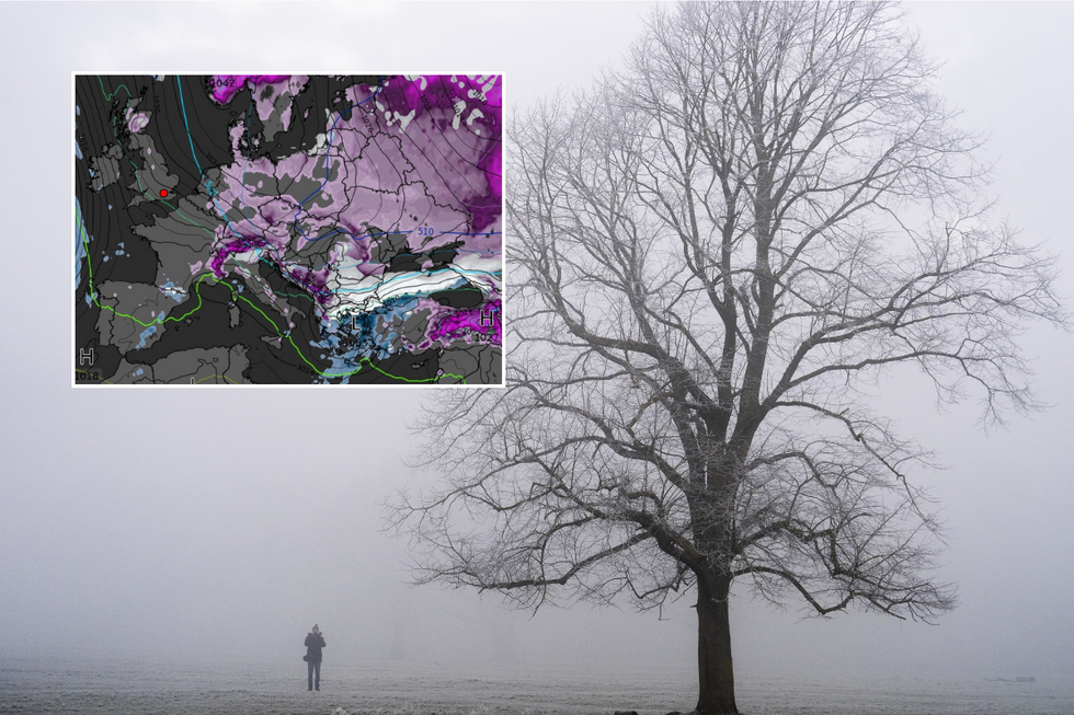
PA/WXCharts

The latest forecast from WXCharts
WXCharts.com
Jim Dale, meteorologist for British Weather Services, said: “We are going to be under the influence of northeasterlies which will keep us in this cold regime for a while. If we get more of an easterly, with clear skies under this high pressure, we are going to be in a frost and maybe ice situation.
“We will feel the bite in the wind even if it is not particularly strong.”
Temperatures nationwide will plunge beneath freezing through the coming days, with bitter gusts making it feel close to -11C. Battling north-easterly and Continental winds will bring occasional mild gusts and the chance of drizzle.
Dale added: "Although the air coming off the Continent is dry, it crosses the North Sea so will bring the risk of some rain or drizzle. This is typical of weather dominated by high pressure, largely dry and cold at this time of year with drizzly grey skies."
LATEST DEVELOPMENTS
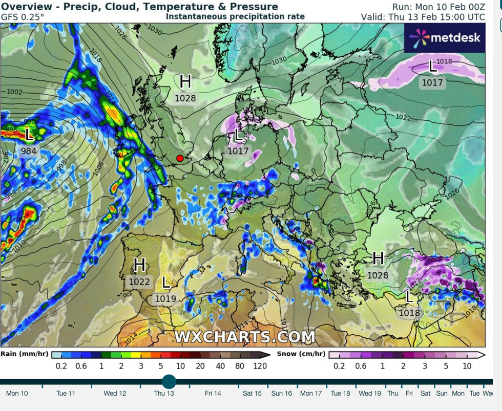
High pressure over Scandinavia edges into Britain
WXCharts
The Scandinavian high will drive a chilly but largely storm-free end to winter, holding Atlantic lows at bay. High pressure, caused by high atmospheric currents forcing air to ground level, creates a stubborn ‘dome’ of cold over large regions.
A similar effect drove the ‘anticyclonic gloom’ during autumn, which saw a similarly stubborn high trap a shroud of cloud and mist.
Scandinavian highs, when they encroach across Britain, typically bring north-easterly winds and cold weather. Met Office meteorologist Alex Deakin said: “Beyond the early part of the week, we are not going to see much change.
“High pressure sitting over Scandinavia is going to be the dominant pattern, and we will continue to see some sort of easterly wind.
"We are likely to see things pretty chilly with below average temperatures, and even into next Friday, the pressure patterns don’t really shift. We can expect it to be colder than average but not exceptionally cold, and largely dry.”
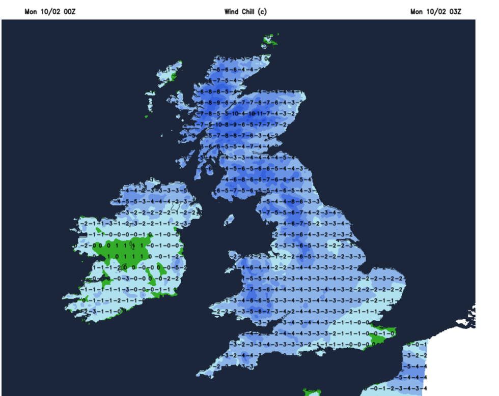
Windchill will fall to -11
netweather
Warnings for cold weather come as meteorologists keep a close eye on the Stratosphere for signs of warming. A so-called Sudden Stratospheric Warming (SSW) was the driver of 2018’s February Beast from the East snow blast.
Current signals show a warming event towards the end of the month, which could bring colder weather and snow.
Severe Weather Europe meteorologist Andrej Flis said: “Sudden Stratospheric Warming (SSW) basically means a strong temperature and pressure rise in the Stratosphere. That causes a major disturbance in the circulation and, as a result, starts a collapse of the Polar Vortex
“A major event…could bring strong weather pattern impacts across the Northern Hemisphere as we head deeper into late winter and spring
