
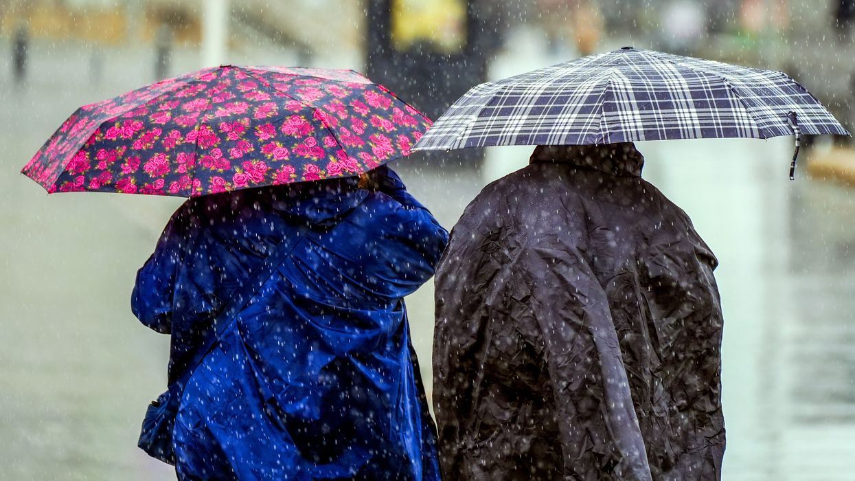


Britons have a near-zero chance of seeing summer this side of July amid warnings for 10 days of torrential rain, thunder and dire temperatures.
Stormy weather patterns will align around a misplaced jet stream this weekend to unleash a ‘beefy’ autumnal deluge.
Although it will turn slightly milder after the weekend, the outlook into the end of June is for persistent heavy rain, wind and explosive storms.
Jim Dale, meteorologist for British Weather Services, said: “There is no real break in this pattern for the time being.
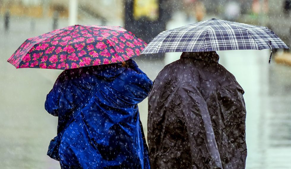
Britain is set to see torrential rain
|PA
“Other than a couple of transient days, there is unlikely to be much of a change through the rest of June.
“We are going to have to be patient for the arrival of better weather, and there is no sign of any real heat on the way, instead, the picture is more of persistent showers which could be punctuated with thunderstorms.”
Britain’s foul weather is partly blamed on the jet stream being further south than usual for the time of year.
Rather than allowing warm air up from the Continent, it is helping drag in chilly winds from the Arctic.
The jet will join forces with two layers of low pressure – and upper low and a surface low – to ignite fireworks, according to the Met Office.
Pressure affects the weather at ground level but can be strengthened by pressure patterns ‘aloft, which helps build powerful ‘cumulonimbus’ storm clouds.
Met Office meteorologist Aidan McGivern explained: “A change in the weather patterns is on the way, but I suspect it is a change that won’t be widely popular.
LATEST DEVELOPMENTS:
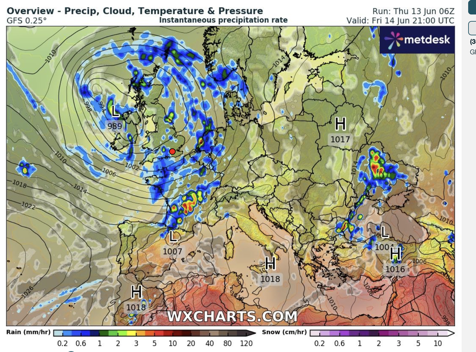
Low pressure swirls over the UK this weekend
|WXCharts
“On Friday, low pressure is in place over the top of the UK, and the jet stream once again to the south of the UK, and that means we have an upper-level low and surface-level low pressure coincident with each other.
“So, we have a surface low, an upper low and a strong sun at this year which are all the ingredients for rapidly rising air currents, beefy shower clouds, cumulonimbus clouds and torrential downpours with even some thunderstorms on Friday and into the weekend.”
Temperatures will rise around 6C through next week although a summer heatwave is out of the question, he said.
Rain driven by low pressure is most likely to dominate the forecast into the last week of June, he warned.
He said: “Some parts of eastern England will be 6C higher by Wednesday afternoon, and central parts 3C to 6 C higher while other areas are not much different.
“It’s not going to feel particularly pleasant where we have those heavy showers and the breeze.
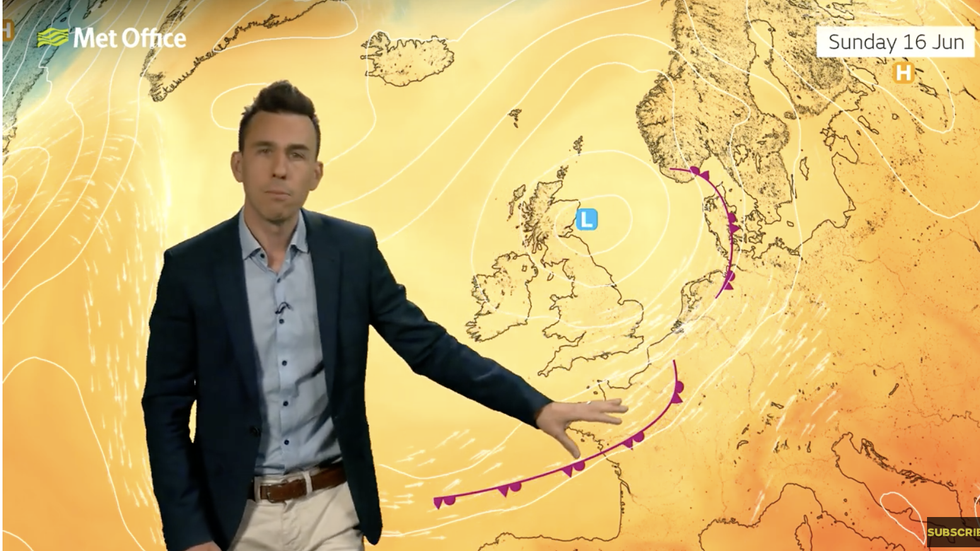
Aidan McGivern warns low pressure will swamp the UK this weekend
|Met Office
“The best bet is to prepare for heavy showers through the next few days.”
In the longer term, the Met Office’s three-month outlook predicts a higher than-average chance of hotter summer weather.
An El Nino warming of the Pacific, subtle changes in stratospheric winds and a general trend of global warming would be the driver.
However, bookies are not convinced with Coral offering 2-1 from 4-1 on the coldest June on record.
Spokesman John Hill said: “Temperatures have been unseasonably low so far this month, as and a result, we have slashed the odds on this ending as the coldest June on record.
“There is a damp outlook for the next 14 days, so we are not ruling out this month finishing as a record-wet June either.”