


Britain is bracing for a series of cold and wintry blasts in the coming weeks, with forecasters predicting a high likelihood of widespread snow events.
The Met Office has warned of potential snow showers in northern and eastern areas as early as next week, due to the arrival of colder air across many parts of the country at the start of November.
High pressure is expected to dominate, bringing below-average temperatures and increasing the chances of overnight frost and fog for many regions.
The Met Office's long-range forecast for late October to early November states: "Following the introduction of some colder air to many areas at the start of this period, with the potential for snow showers in at least northern Scotland, high pressure looks to be the dominant feature during the first part of November."
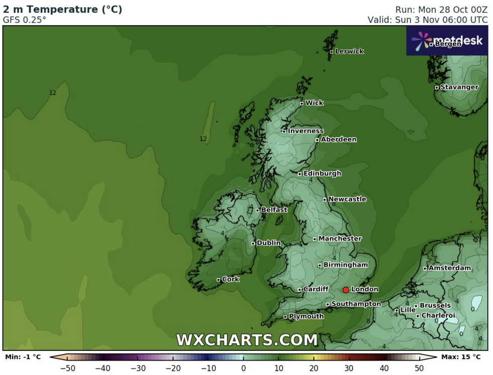
Temperatures are set to drop in November
WXCharts/PA
A spokesperson from Exacta Weather has provided a more dramatic forecast for later in November and throughout December. They predict "multiple cold and wintry blasts" with "at least 2-4 major and widespread snow events" during this period.
The spokesperson added: "Other forecasters should now also be starting to see the multiple cold and wintry blasts potential for later in November and throughout large parts of December."
However, they also noted that high pressure is likely to continue dominating in the coming weeks, potentially bringing mild to warm daytime temperatures alongside chilly evenings and overnight frosts.
In the short term, the Met Office forecasts cloudy conditions for many areas, with outbreaks of rain and drizzle possible across the country. The heaviest rainfall is expected on western-facing hills.
LATEST DEVELOPMENTS
Temperatures are set to cool
WXCharts.com
Despite the chilly predictions for November, the immediate outlook remains mild. Today's temperatures could reach 16C or even 17C in the southeast of England, well above average for late October.
The Met Office cautions that "headlines don't always reflect the reality", noting that any snow in the near future will likely be confined to high ground in the north, as is typical for this time of year.
As the UK prepares for potential wintry weather, the Met Office emphasises that current conditions remain mild.
Kathryn Chalk, a Met Office forecaster, described the outlook as "much milder but dull" with cloudy skies and occasional drizzle.
Temperatures are expected to stay above average for the time of year, potentially reaching 16C or 17C in the southeast. Looking ahead to Tuesday, Chalk predicts "a bit more in the way of sunny spells" as low cloud and fog gradually lift.
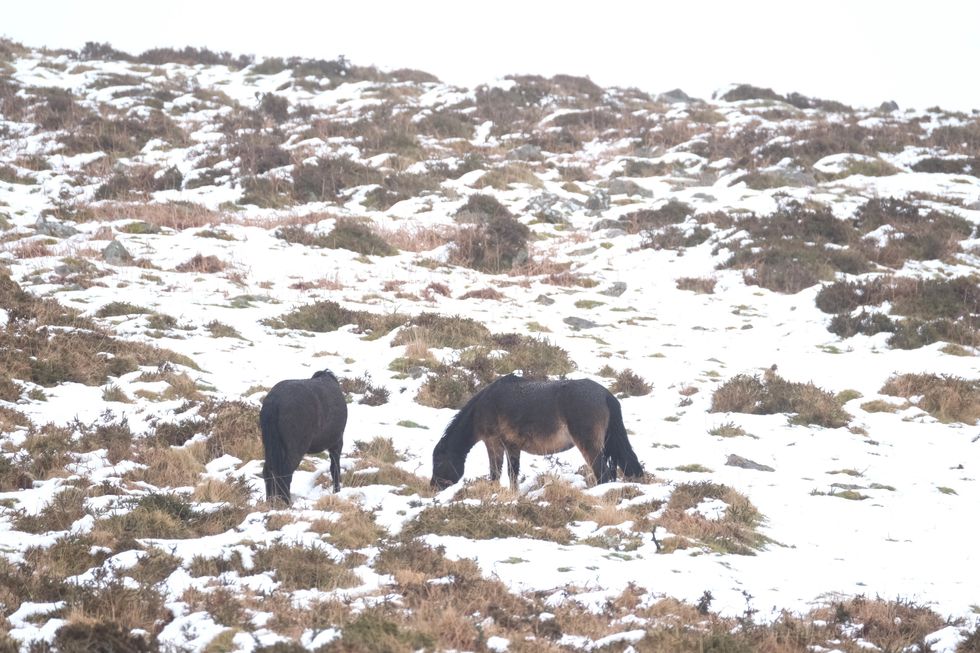
Horses in snowy conditions on Dartmoor earlier this year
PA
Last weekend, the Met Office issued Amber and Yellow weather warnings as Storm Ashley hit parts of the UK with flights and trains being cancelled and thousands were left without power.
New research from the Met Office has found biggest cause of disruption over the last year was revealed to be heavy rain stopping people getting to work on time or going out.
More than a third (36 per cent) of those surveyed affected. Issues with public transport, slipping on ice, and power cuts have also impacted almost one in five people.
