UK weather: Meteorologists baffled by 'extremely unusual' conditions as 'anomaly' strikes Britain

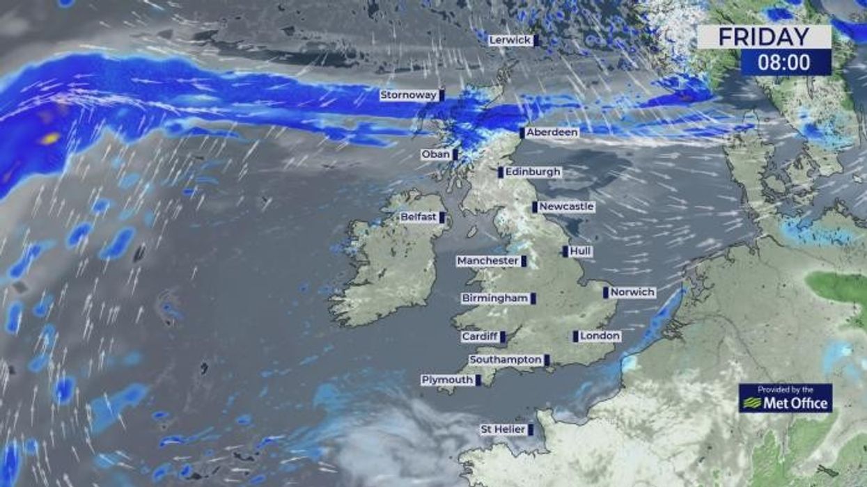
Weather forecast for November 1, 2024
|GB News

High pressure, responsible for the current calm spell, and global climate events including an El Nino summer will keep frosts and snow at bay
Don't Miss
Most Read
Winter coats will be gathering dust into the festive season with weirdly mild weather forecast through the end of the year.
The last month of autumn shows no sign of cooling down, with thermometers to hit double digits into mid-November.
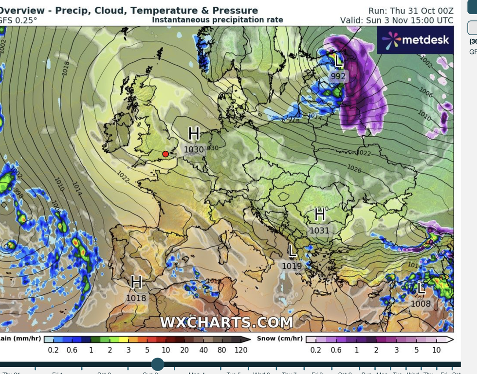
High pressure, responsible for the current calm spell, and global climate events including an El Nino summer will keep frosts and snow at bay.
South-eastern Europe, Spain and Italy will catch the winter cold while the UK stays mild, according to long-range experts.

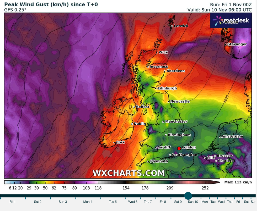
But milder weather coming from the west will bring more risk of wetter, windier weather, experts warn
|WXCharts
Dr Todd Crawford, meteorologist for Atmospheric G2, said: “We are now much cooler across south-east Europe and notably warmer across Scandinavia and western Europe as strong high pressure will be in control for at least the first half of November.
“Climate models are in agreement in depicting a winter characterised by anomalous warmth to the north and east with near to even slightly-below normal temperatures in southern and western Europe.”
Britain’s winter will come under the influence of global weather drivers including the tail-end of an El-Nino warming of the eastern Pacific, and pressure swings across the Atlantic – the so-called North Atlantic Oscillation (NAO).
As meteorologists cast their eyes high to the stratosphere where a sudden warming (SSW) could trigger a sudden winter chill, all is strangely quiet.
But milder weather coming from the west will bring more risk of wetter, windier weather, experts warn.
Dr Crawford said: “The signal is for a stronger-than-normal polar vortex, which implies lower-than-normal chance for a Sudden Stratospheric Warming (SSW).
LATEST DEVELOPMENTS:

High pressure dominates
|WXCharts
“As winter progresses, we expect a trend towards more persistent positive NAO conditions, with lower-than-normal chances of an SSW.
“Across northern and eastern Europe, warmer, wetter and windier weather is expected, especially in the back half of winter.”
In the shorter term, milder temperatures are forecast to hold out through the last month of autumn.
High pressure drove a freakishly mild Halloween with temperatures in the mid-teens forecast through the next week.
Clear cloudless skies will bring some chilly nights, but little in the way of wind or rain during a traditionally wet month.
Jim Dale, meteorologist for British Weather Services and social commentator, said: “In the east and southeast of the country, there is no sign of rain for the next two weeks, and given that November is typically one of the wettest months of the year, this is extremely unusual.

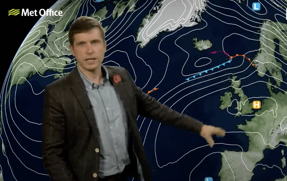
Met Office’s Alex Burkill describes high pressure staying in charge
|Met Office
“This will, however, give the region a chance to recover after the heavy rain and storms during late summer.
“There is no sign of this pattern breaking until at least mid-month.”
Britain’s weather will also be driven by a strong jet stream, surging over the country to drive high pressure.
Met Office meteorologist Alex Burkill said: “High pressure is definitely in control, and that’s why there is a lot of dry, settled weather around at the moment.
“The jet stream is quite actively running to the north of the UK, allowing high pressure that has been across the UK for a little while to stick around for a little while yet to dominate our weather.”


