


The sunny and dry weather is set to come to a dramatic end with heavy thunderstorms and unsettled conditions.
Met Office warnings for thunderstorms have been issued for the south and southeast from Wednesday afternoon, as well as much of England and Wales on Thursday.
The warnings highlight potential disruption to travel, as well as the chance of some flooding.
Forecasters say it heralds a shift to a more unsettled pattern for the UK later in the week and into the weekend, with a westerly weather regime likely to bring outbreaks of rain or showers at times, albeit with some drier and brighter interludes.
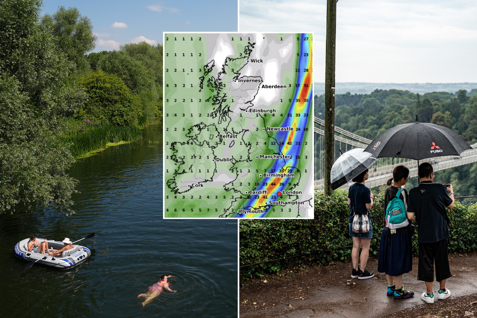
Thunderstorms are expected to hit this week and next week
Getty/PA/WXCharts
Met Office deputy chief meteorologist Dan Holley said: "While there is often some uncertainty during thundery breakdowns, we’re monitoring several areas that could see some thunderstorms on Wednesday, but more especially Thursday.
"There is a small chance in parts of south and southeast England as early as Wednesday, perhaps more likely on Wednesday night, with other areas of heavy and locally thundery rain developing across portions of Wales, the Midlands and northern England later on Wednesday night and into Thursday morning.
"In addition, scattered heavy showers and thunderstorms may break out on Thursday afternoon and evening across parts of central, southern and eastern England, along with perhaps south Wales, which may produce gusty winds, large hail and the risk of surface water flooding.
"The heaviest downpours could produce in excess of 25mm of rain in less than an hour, with disruption possible in some areas. This is an evolving story, so it’s important to stay up-to-date with the latest forecast during the next couple of days."
LATEST DEVELOPMENTS:
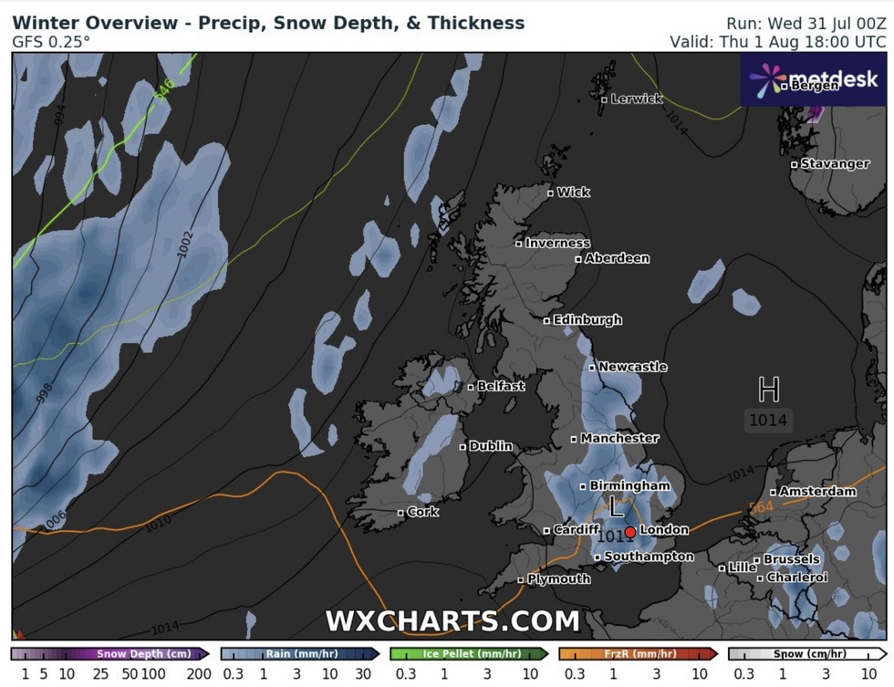
Rain is expected to hit on Thursday and next week
WXCharts
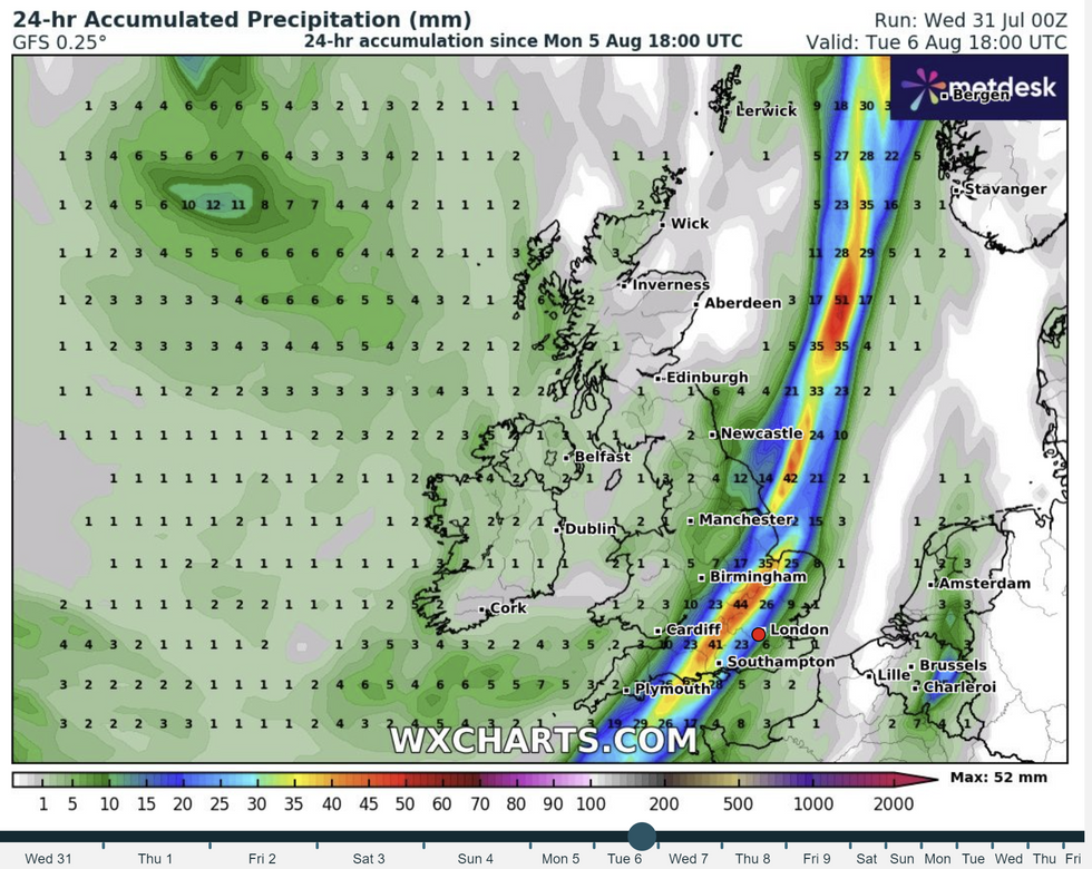
Heavy rain is expected to carry on into next week
WXCharts
The Met Office said there could be 50-100mm of rain in a few hours in some spots on Thursday afternoon, which is more than a month’s worth of rainfall, with rain expected to hit on Tuesday, August 6.
Meteorologist Becky Mitchell said: "The heat and humidity we’ve got across England and Wales is going to spark off some thundery showers on Wednesday and Thursday so we’ve got some yellow weather warnings in force."
There is a risk of flooding on Thursday afternoon in some parts of the country, but the thunderstorms will be "quite hit and miss".
Any residual heat is not expected to last into the weekend as temperatures are expected to return to the mid-20s in the south as a band of rain moves through the country on Saturday.
WATCH: Jim Dale and Martin Daubney clash over climate change
The UK Health Security Agency (UKHSA) has issued a Yellow Heat Health Alert for all areas of England except for the North East and North West.
This is the second of four tiers of alerts - below amber and red - and means the heat is "unlikely to impact most people" but could affect the elderly and vulnerable.
The UKHSA has warned the hot spell may make an "observed increase in mortality across the population likely, particularly in the 65-plus age group or those with health conditions, but impacts may also be seen in younger age groups".
