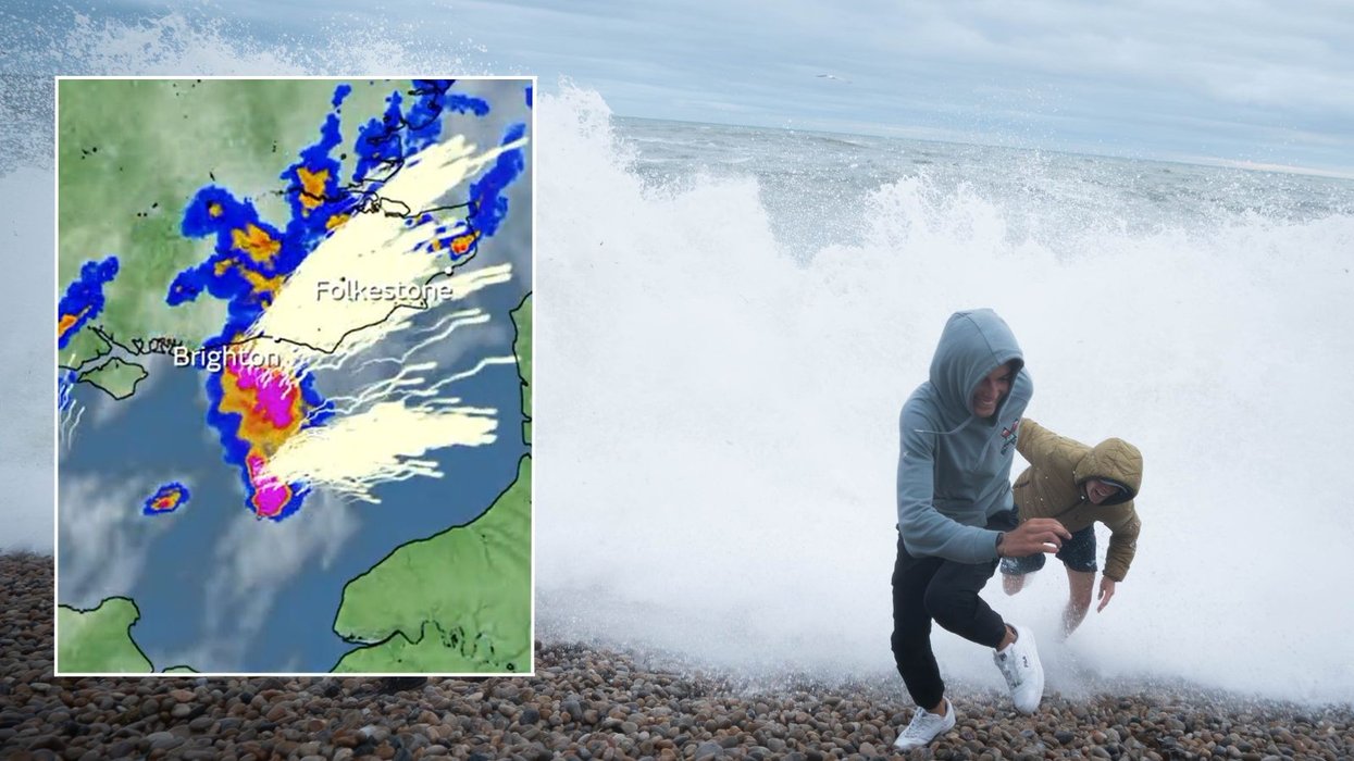
UK weather: Met Office maps show full scale of lightning storms as conditions rock English Channel

Met Office maps show full scale of lightning storms as conditions rock English Channel
|Met Office/PA

The UK’s national weather service issued a yellow warning earlier today
Don't Miss
Most Read
Weather maps released by the Met Office have shown the full scale of lightning storms as violent conditions rock the English Channel.
The South East of England is currently facing heavy downpours and thunderstorms, with travel issues now possible.
The Met Office said on social media: “Heavy downpours and thunderstorms have moved from the Channel Islands towards southern coasts of England.
“Some tricky journeys are possible over the coming hours as they continue to progress eastwards, with conditions likely to change at short notice.”
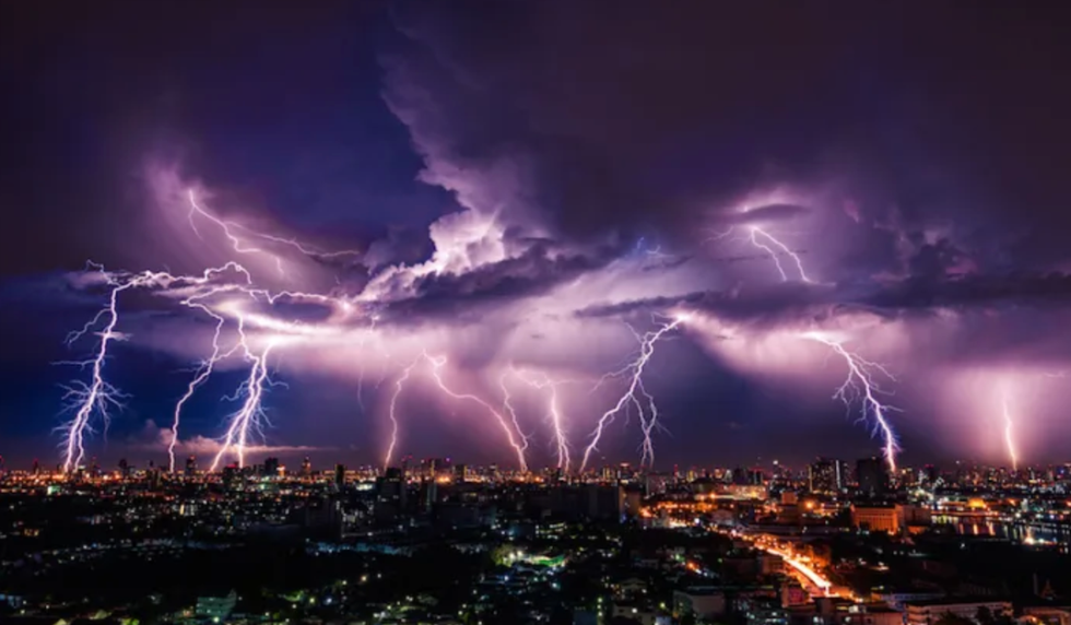
 The UK is set to be rocked by thunderstorms | PA
A yellow thunderstorm warning stretching from the Isle of Wight to North East Kent was issued earlier today.
It lasted from 7am to 12pm as it forecast “frequent lightning” and up to 30mm of rain during downpours.
Despite the warning ending, the Met Office suggested the cluster of thunderstorms could persist between Eastbourne and North East Kent throughout the evening rush hour.
Meteorologist Craig Snell told GB News: “We are expecting the risk of thunderstorms affecting the southeastern corner of the UK between now and around 7pm or 8pm.”
He added: “We could see some localised issues such as poor visibility due to heavy spray which would slow the roads down and may cause some delays.
“Sometimes lightning can strike electricity pylons so we could see some localised power cuts.”
However, Snell stressed the worst of the thunderstorms are being experienced on the other side of the Channel, with France facing “severe” weather conditions.
The Channel itself is facing “thundery activity” but the weather expert suggested ferries would likely operate at a slightly reduced pace.

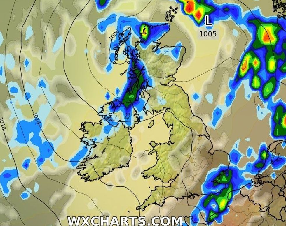
WXCHARTS shows some wetter conditions in the south east
|WXCHARTS
In its wider forecast, the UK’s national weather service added: “Any heavy showers and thunderstorms across the southeast easing with clear spells developing for much of England and Wales.
“Scotland and Northern Ireland though will see further showers, and these may spread into northwest England later. Feeling cooler.”
Looking ahead to Friday, it added: “A mixture of sunny spells and showers for most.
“Showers most frequent in the north and west with a risk of hail and thunder. Driest and brightest in the southeast.”


