


Heavy rain, hail and thunder are set to strike Britain just days after the country experienced its warmest spring equinox in more than 50 years.
Some areas have already seen intense downpours on Saturday afternoon, with thunderstorms developing across eastern parts of England.
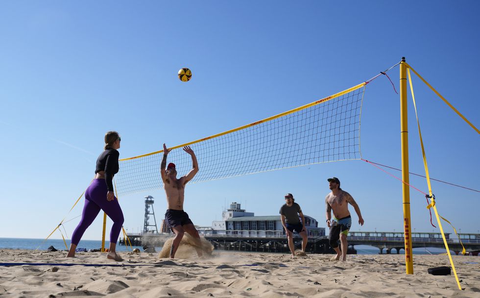
The dramatic shift comes after Thursday saw temperatures reach 21C in parts of the UK.
National Highways reported parts of the M18 in Yorkshire were closed on Saturday while specialists worked to clear floodwater.
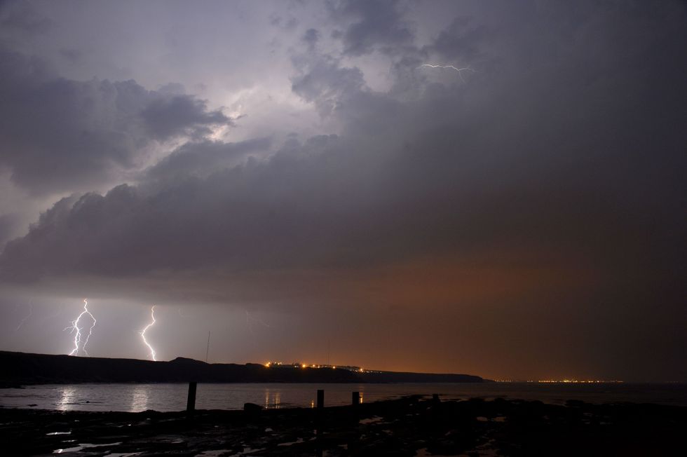
Heavy rain, hail and thunder are set to strike Britain just days after the country experienced its warmest spring equinox in half a century
PAThat came as heavy showers barrelled across eastern parts of England, with some areas subjected to hailstorms and thunder.
And in parts of London and the East Midlands, some areas saw up to 15mm of rain in less than an hour, the Met Office said.
The inclement climes come after Thursday marked the UK's warmest spring equinox since 1972, with temperatures soaring to 21C in some areas.
Jonathan Vautrey, a meteorologist at the Met Office, noted that current temperatures are significantly above average for March.
"We've had highs reaching over 20C over the last few days, and we were up to 18.5C as the high today," he said.
LATEST WEATHER UPDATES FROM GB NEWS:
Temperatures soared to 21C on Thursday - with some Britons heading to the beach to celebrate the heat
PA
Vautrey explained that such intense storms are rare for this time of year.
"This is happening because we have had a lot of warm weather of late and temperatures are notably above average for the time of year," he said.
The meteorologist added that the unusual heat has "really helped to spark off some of these thunderstorms."
But Vautrey also linked the unusual weather to climate change.
"We know that climate change is pushing our temperature extremes to new levels. We're constantly seeing warmer temperatures at earlier points of the year," he said.
He warned that intense summer storms are "increasingly going to happen at more points in the year."
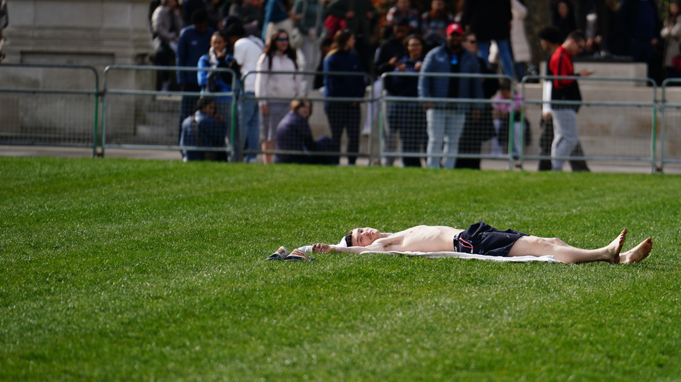
PICTURED: A man sunbathing in the warm weather in Parliament Square in London on March 21
PA
The Environment Agency has issued flood alerts for 20 parts of the country including Henley, Salisbury and Hertfordshire.
These warnings remain in place as saturated ground increases the risk of surface water flooding.
The Met Office has advised travellers to "take care" as "there could be some localised flooding in places."
Meteorologists have urged the public to stay alert to changing conditions as the unsettled weather rolls on - and have said they expect it to continue through the remainder of the weekend.
