


Easterly winds hitting a plume of tropical humidity over Britain will ‘converge’ to unleash a thundery deluge through the start of August.
Britain’s summer is about to go back through the wash cycle with ‘hefty’ showers forecast this weekend.
Sunshine-laden high pressure will be held at bay by a string of stormy lows heading in from the Atlantic.
As the latest mini heatwave fizzles, rain and unimpressive temperatures await for the last month of summer.
Met Office meteorologist Alex Burkill said: “It is a further unsettled picture as we go through the rest of this week and into the weekend, with low pressure largely in control.
“The most likely set up for next week is that low pressure towards the north and northwest of the UK will drive frontal systems from northwest to southeast.
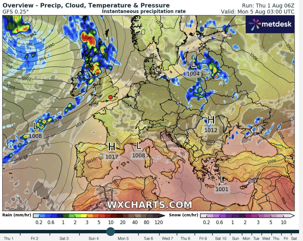 Bands of rain sweep in through the start of the weekWXCHARTS
“That pattern doesn’t really change with low pressure still driving those systems across the UK, and although it is likely to be drier across the southeast.
“There is the potential for some heavy bursts of rain or some hefty showers.”
A plume of tropical air that has pushed temperatures into the low-30Cs will collide with easterly ocean winds ending the heatwave.
Low pressure from the Atlantic will drag unsettled weather fronts across the UK next week as summer fizzles into a damp squib.
Temperatures will hover in the high teens to low-20Cs at best while heavy rain hits the northwest.
Burkill said: “We could get something called convergence.
“It is going to be hot and humid across parts of the east, but we have the fresher air coming in from the west and that is going to clear the humidity away.
“The system from the northwest will gradually make its way south and eastwards Friday night and into Saturday, but there is some uncertainty regarding the timing.
“Into Sunday, we are likely to get a a ridge of high pressure and that should clam our weather down, but that doesn’t last long because there is another system waiting to come in from the west that will bring more wet weather as we go through the latter part of the weekend.”
Despite the unsettled outlook for the coming days, government forecasters reckon on a hotter than average transition to autumn.
The Met Office three-month outlook predicts a more than double the normal chance of warm weather through until October.
It is also expected to be drier than average with a lower-than-normal chance of cool wet weather.
A Met Office spokesman said: “There is an increase in the likelihood of hotter than average conditions.
“This does not mean that the UK will see heatwaves and heat-related impacts, but the likelihood of these is higher than normal.”
Long-range forecasters agree that warmer weather could follow the next unsettled spell.
Jim Dale, meteorologist for British Weather Services and social commentator, said: “There will be sporadic outbreaks of rain over the next few days, but this is normal for the time of year and temperatures will recover through the start of August.
“Then it is a similar pattern, although summer is not over and there is still a chance of seeing warmer than average temperatures into September, with this being the new summer month.”
