


The first snow of the season is set to arrive in Britain this week, after temperatures nosedived on Thursday.
With an arctic blast making its down the UK yesterday, the Met Office is predicting that a thin layer of snow materialise in the coming days.
Temperatures in northern England and Scotland are set to drop below freezing down to -2C, creating the perfect conditions for a white blanket.
The snow will be limited to the Scottish mountains but reflect the start begin towards winter.
 Temperatures will drop to freezing in parts of the UK overnightWXCHARTS
A spokesperson for Met Office said last night: “There’s a chance of a dusting of snow over the tops of the Scottish mountains over the next dew days, though this is entirely typical of the time of year.
“That dusting of snow over the Scottish mountains will be part of a weather front that will bring some persistent rain to parts of western Scotland tonight and tomorrow, with a widely wet day for much of Scotland on Saturday."
The weather forecasters also predict tomorrow will see "temperatures below average" with Britons waking up to "widespread frost in the north".
However, the freezing conditions are not set to last long with meteorologists predicting warmer temperatures from Monday.
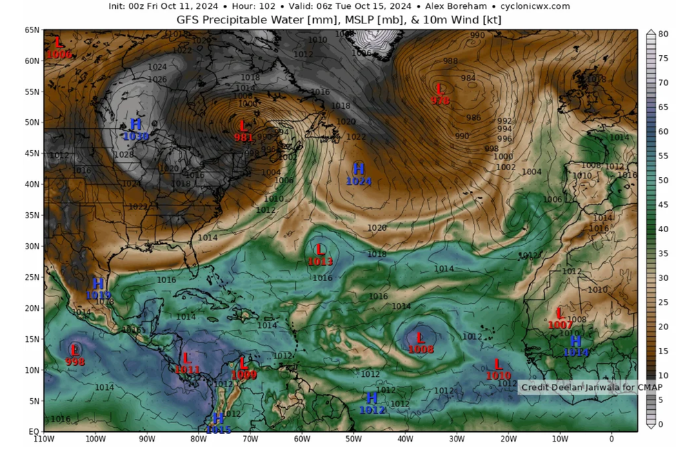
Tropical Storm Leslie is making its way across the North Atlantic
CYCLONICWX
The Met Office said it would be "notably milder" between Monday and Wednesday, adding that "a few brighter periods are possible on Monday and Tuesday, but rather cloudy overall".
NetWeather's Nick Finns added that Tropical Storm Leslie which hit the US earlier this month would be responsible for the warmer temperatures.
"Tropical Storm Leslie, currently over the mid sub-tropical North Atlantic with sustained winds of 60mph, looks to track north then gets picked up by the jet stream on Saturday.
"Leslie will then become a post tropical storm / area of low pressure over the weekend," he said.
"The remnants of ex-tropical storm Leslie do look to inject tropical moisture, warmth and energy into the strengthening cyclonic southerly flow that looks to develop across western Europe, including the UK, ahead of an amplifying upper trough moving east over the North Atlantic early next week.
"This injection of warm and moist air combined with increasing lift ahead of the upper trough approaching from the west may mean some heavy showers or longer spells of heavy rain spreading north across parts of the UK from Tuesday afternoon.
"Given the origin of the airmass, some the rain could be heavy and persistent enough to bring some flooding, especially if areas of low pressure or waves develop along the ‘baroclinic’ zone - where waving fronts, separating warm/humid air to the east and colder air to the west, produce pulses of heavy rain."
Most read


More


