The alert covers large parts of South West England and Wales
Don't Miss
Most Read
Trending on GB News
A yellow weather warning has been issued by the Met Office, with fears that heavy rain could lead to substantial flooding.
The alert, which began at 12.00am today and lasts until 12.00pm, covers large parts of South West England and Wales.
The weather office has cautioned that the heavy rain, as high as 70mm on raised ground, could lead to flooding and disruption.
They said that travellers should prepare themselves for longer journey times, due to spray and flooding on roads. Public transport is also likely to be affected.

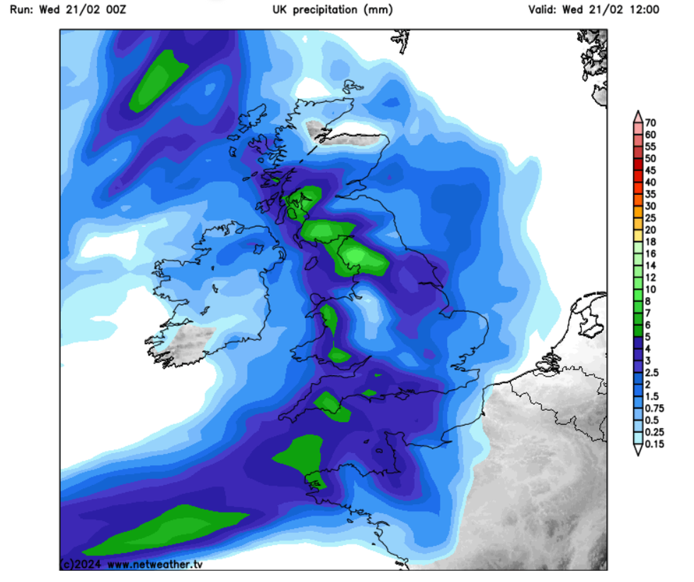
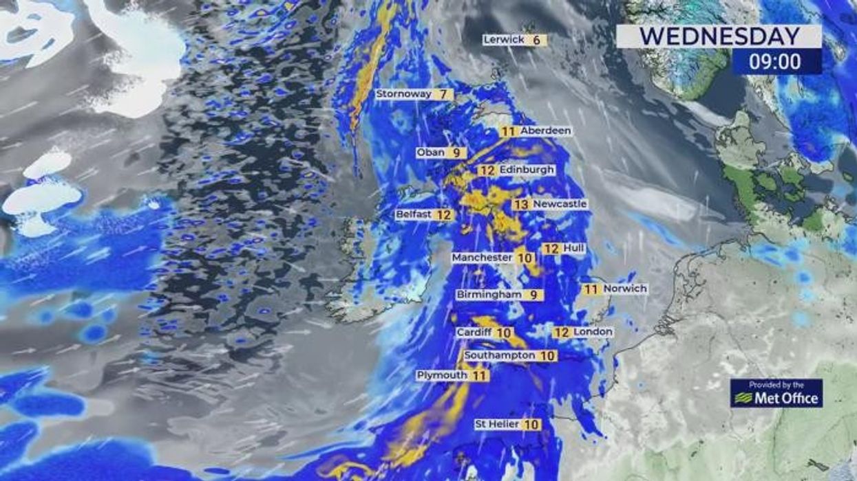
Heavy rain is sweeping across the UK, with the Met Office issuing a yellow warning
Netweather
Intense rain could also have an impact on power services, the forecaster warned.
Homes and businesses could also be flooded, with the Met Office advising those whose properties could be at risk of flooding to come up with a plan and create an emergency flood kit.
They said: “Heavy rain will spread across Wales and southwest England from early on Wednesday morning. Rainfall amounts will widely reach 15-25 mm, with as much as 50-70 mm over higher ground.
“With saturated ground in places, this is likely to lead to some disruption. Rain will clear to the east by the afternoon.”
WEATHER LATEST:
There are currently 24 flood warnings and 178 flood alerts in place.
Whilst the yellow alert ends at midday, additional rain can be expected into the evening, with the Met Office stating: “Further rain and drizzle across southern counties of England and Wales. A band of heavy, squally rain moving across northwestern parts overnight.”
The rain is set to continue into Thursday as the heavy rain moves in a south-eastwards direction, whilst in the north, the showers could fall as snow.
Net Weather forecaster Nick Finnis said the weather is turning wetter and windier, with temperatures expected to return to average after an unusually mild February.

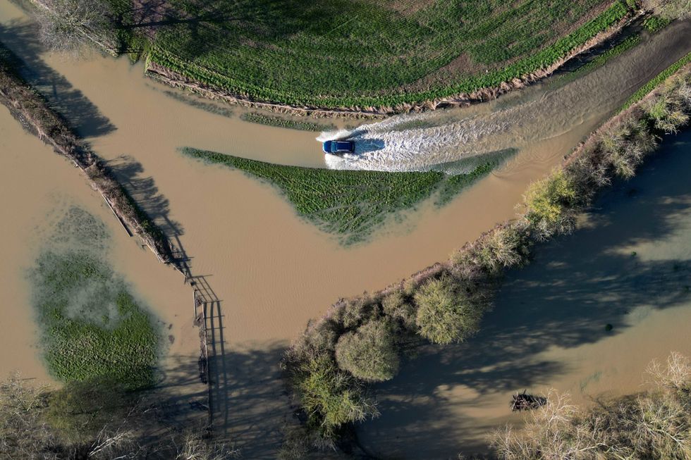
The River Dene in Walton, Warwickshire, experienced some flooding over the weekend
PAHe said: “During this transition to cooler conditions, there will be a fair bit of rain to get through over the next few days. The culprit for all this rain will be a waving frontal boundary upstream over the North Atlantic.
“Impressively this frontal boundary can be seen stretching from near Iceland all the way southwest to past Cuba. Waves can be seen along the boundary and these will bring the spells of heavy rain across most places on Wednesday and Thursday.
“This additional rain falling on already saturated ground will increase the risk of flooding in places, particularly across parts of England and Wales.
Last weekend, parts of the UK experienced heavy flooding as a similar yellow alert was in place for parts of England and Wales.
Some parts of the country are believed to have been hit by as much of 40mm of rain.
The River Dene in Walton, Warwickshire, was flooded due to the downpour of rainfall.


