


A summer-like heat dome will bring five more days of rocketing temperatures before cracking to usher back the rain.
Britain’s glorious sun blast shows signs of weakening with next week threatening a soggy U-turn.
High pressure settled over the UK driving abnormally high temperatures will shift towards mid-month, experts say.
But Britons can enjoy another five days of soaring temperatures and blue skies as summer arrives early.

Britons can enjoy another five days of soaring temperatures and blue skies as summer arrives early
PA
Met Office meteorologist Kathryn Chalk said: “There is plenty more sunshine on offer as we go through the week, and this is all due to high pressure dominating bringing fine, dry and settled conditions and lighter winds compared to what we have had in recent days.
“Temperatures will start warming up as we go through the week.
“As we look ahead through Wednesday, Thursday and Friday there is still plenty of sunshine, but on Wednesday morning it will be a bit cloudier out there.
“But otherwise, plenty of sunshine on offer, and then temperatures will be rising this time across northern and eastern areas as we go into Friday.”
The fine weather is being delivered by high pressure which at this time of year boosts temperatures under clear, sunny skies.
A so-called ‘blocking pattern’ has kept the stormy Atlantic at bay and held off any signs of April showers.
LATEST DEVELOPMENTS:
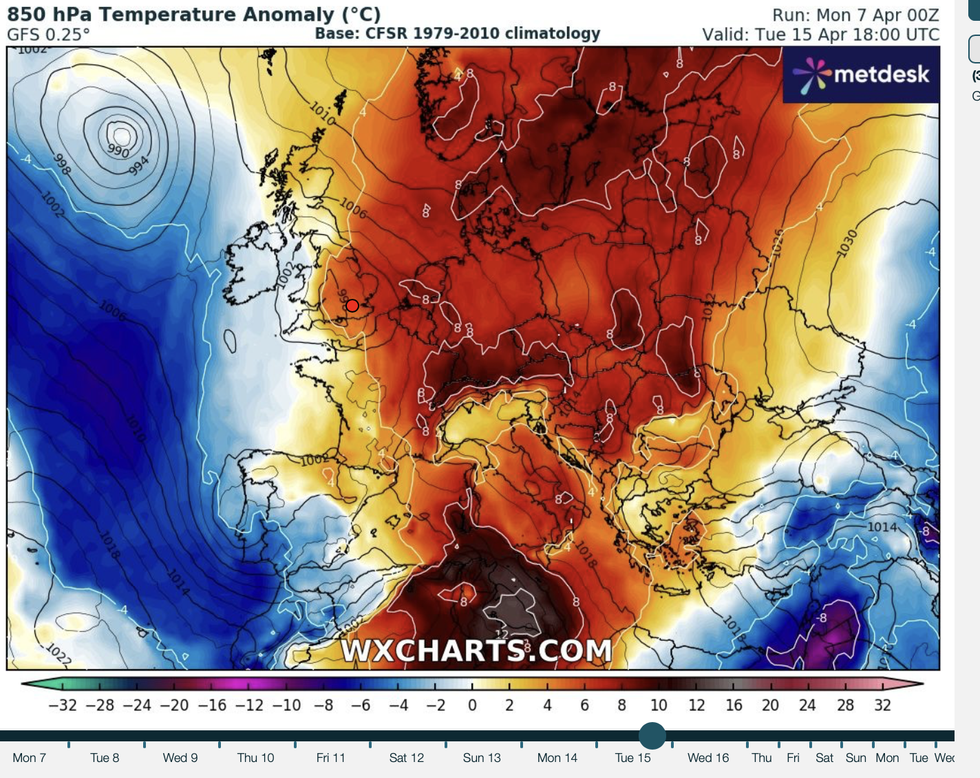
The fine weather is being delivered by high pressure which at this time of year boosts temperatures under clear, sunny skies
WXCHARTS
But this picture is likely to change at the weekend as high pressure backs off to allow in something wetter.
Jim Dale, meteorologist for British Weather Services and social commentator, said: “The break in this pattern is likely to happen at the weekend, perhaps later in the weekend around Sunday or Monday.
“High pressure looks like it will shift and allow more of a mobile pattern to come in towards the middle of April.”
Temperatures in the meantime will hover six or seven degrees above average for the time of year, he said.
Friday or Saturday could bring the hottest day of the year so far with the mercury tipped to nudge 25C, he added.
He said: “The warm weather will continue through the rest of the week with temperatures abnormally high for this early in the season.
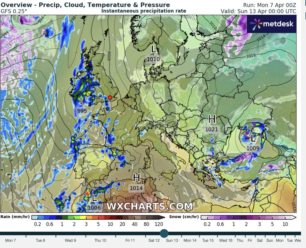
The end of the week could see a change in the weather
WXCHARTS
“The end of the week is likely to bring the warmest day of the year so far, and we could see temperatures in the mid-20Cs.
“However, with the winds picking up, this is going to accelerate any fires that break out, and we have already seen this very dry weather driving wildfires in parts of the country.”
Despite the threat of rain, bookmakers have slashed the odds on an April sizzler with Coral offering 3-1 to 4-1 on a record month.
Spokesman John Hill said: “We’ve been treated to a glorious start to the month, and if the mercury continues to rise, we could be set for the hottest April on record in the UK.”
But a spokesman for Netweather warned: “Keep an eye on forecasts later in the week, as there's a distinct chance things could turn more changeable, particularly across the south and west, signalling an end to the prolonged fine spell.”
