


A flip-flopping jet stream will rescue Britain from the autumn chill ushering a fortnight of glorious warmth.
The UK weather is about to undergo a dramatic makeover with temperatures set to soar this weekend.
Arctic air swept in by a southerly jet stream will be blown away as the channel of fast-flowing air circling the globe shifts north, opening the door to balmy gusts.
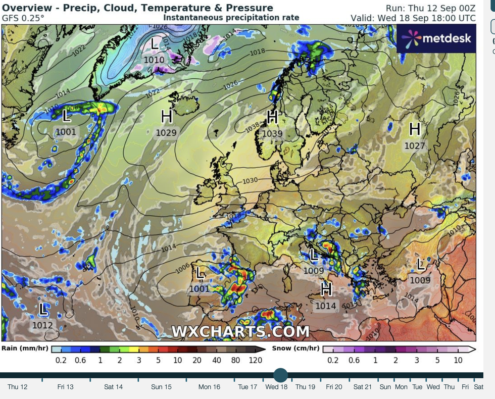
High pressure – the gift-giver of summer sunshine – will build from the south and east through the end of September.
 A flip-flopping jet stream will rescue Britain from the autumn chillWX CHARTS
Met Office meteorologist Annie Shuttleworth said: “It is set to turn much milder as we head into the weekend, and into next week as well.
“We are going to see some shifts to our jet stream, which at the moment is amplified up to the north and the west of the UK and diving down so we are on the colder side of the jet stream.
“As we head towards the weekend, we move on to the warmer side of the jet stream, the southern side, and high pressure will start to build in from the south and the west.
"That will turn things a little bit calmer and definitely warmer by the weekend.”
Wet and windy weather through the past couple of weeks has been driven by areas of low pressure barging in from the Atlantic.
A plume of cold air from the north has added to the misery this week, pushing temperatures in parts to freezing.
High pressure to dominate
WX CHARTS
Two regions of high pressure are about to call time on the autumn freeze – the Azores high from the south and the Scandinavian high from the east.
Both will bring drier milder weather, with winds coming from a Continental rather than Polar source.
Shuttleworth said: “High pressure is set to dominate through a lot of the week, high pressure that builds in from the south and the west will do its work to push away low pressures and weather fronts away to the north and the west of the UK.
“We will start to see the Azores high build in this weekend, and then that high pressure is set to push up to the north and east of the UK, the Scandinavian high where it is likely to stay through a lot of next week.
“So very little in the way of change to come from mid-week next week onwards and for the next couple of weeks, in fact.”
Although September brings the start of the meteorological autumn, it is still early for an ‘Indian Summer’ which happens in October of after the first widespread frost.
However, it will turn milder than average for the time of year with temperatures this weekend set to hit 20C.
Jim Dale, meteorologist for British Weather Services and social commentator, said: “The weather will recover as we go into the weekend, and we are going to return to something milder particularly in the south.
“In parts it could feel warm and very pleasant, as we see a southerly airflow in contrast to the northerly air which has brought the colder conditions.
“It is bit of a Jekyll and Hyde situation as we lurch from one airstream to another.”
