


An icy brush with the Arctic will plummet summer-like temperatures to winter lows with a dusting of snow forecast for Easter.
Gardeners and farmers are warned thermometers dipping to -3C overnight threaten damaging frosts.
The chilly forecast comes after the mercury topped 24C at the weekend bringing the warmest day of the year so far.
But a stark turnaround will bring a shock to the system as Britons are warned to swap t-shirts and sun cream for winter coats.
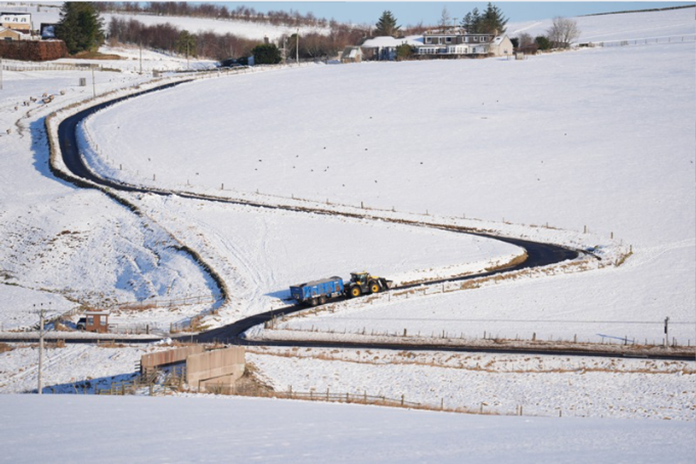
Parts of Britain are expected to see snowfall in coming days
PA
Jim Dale, meteorologist for British Weather Services, said: “If the skies are clear overnight, there will be a risk of frost over the weekend with the weather taking a much cooler, or even colder, turn.
“There will be some very cold nights ahead, and although there is still some warmth in the forecast over the next few days, the further north you are, there is a risk of a return to cold conditions.
“Also, in contrast to the week we have just had, there is not going to be the rise in temperatures during the day.”
The run-up to the Easter holiday will be fraught with heavy rain and the risk of stormy conditions, experts warn.
High pressure responsible for the early taste of summer will be given the boot by cyclonic Atlantic lows.
A battle between high and low pressure will rage into the second half of the month, keeping meteorologists scratching their heads over the late spring forecast.
LATEST DEVELOPMENTS:
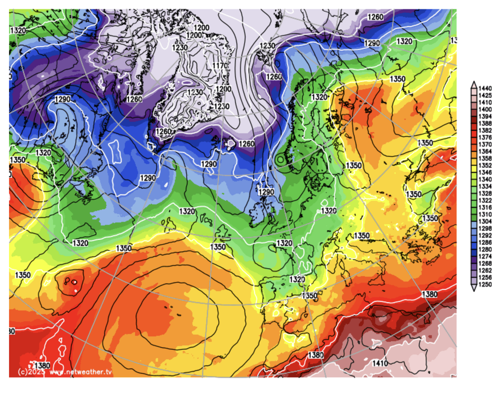
Cold comes down from the north
NETWEATHER
While Easter is looking chilly, high pressure could return to bring some relief from the rain, according to the Met Office.
Meteorologist Honor Criswick said: “There is an indication of high pressure, but it depends where that high pressure sits as to what kind of weather we get.
“It is really going to depend on what happens over the next week or so when we see that change from those unsettled conditions.
“There is an indication that something more settled is on the way for the Easter Weekend with something a bit more unsettled before that.”
Scotland and northern England will be in the firing line over Easter for the worst of the cold snap.
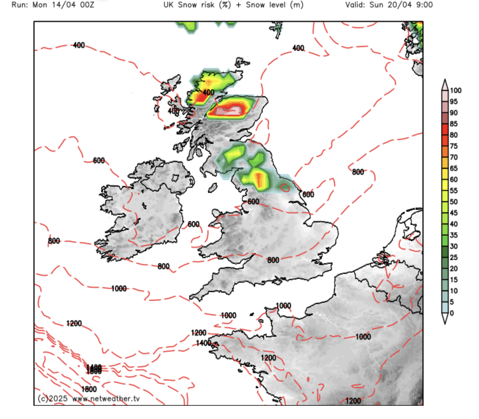
Scotland and the north of England are most at risk of seeing snow
NETWEATHER
Temperatures in the Glens and Highlands will dip to between freezing and minus three under clear, overnight skies.
Winter will make a late comeback in parts with a flurry of snow expected over high ground in the most exposed regions.
Jason Nicholls, lead international forecaster for AccuWeather, said: “After a cooler and wetter week, temperatures will fall to just near or below average for the time of year.
“Early in the week, there will be a risk of showers and across the hills, these could be wintery.
“While a wetter and cooler week is expected overall, there are no indications of any significant storms.”
