


Britain is set to enjoy a brief spell of spring-like warmth with temperatures potentially reaching 16-17C on Thursday - before a "Scandinavian cold snap" sends the mercury plummeting.
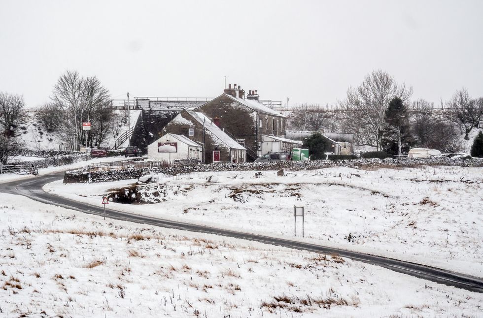
Temperatures fell to -6C in Oxfordshire last night with widespread frost across southern England, and one more night of frost is expected tonight, with lows of -4C or -5C in southern areas.
A southerly flow will develop across the UK, bringing milder air and making the rest of the week generally frost-free.
However, conditions will briefly turn more unsettled, with showery rain spreading northwards on Thursday and Friday.
A 'Scandinavian cold snap' is set to send the mercury plummeting
PA
This rainfall will affect many parts of the country - as two separate areas of low pressure move in to the northwest and southwest.
High pressure looks to build back in from the northwest over the weekend and into early next week, while most areas away from the west and far southwest will become dry and settled again.
Saturday could be very mild for early March with temperatures again reaching 16C or more in any sunshine, according to forecasters at NetWeather.
But experts have warned not to be fooled by the early spring warmth, as significant changes are expected next week.
A blocking high pressure system is forecast to establish near Iceland, causing winds to turn northeasterly.
LATEST WEATHER UPDATES FROM GB NEWS:

Arctic air could be pulled in from Scandinavia by mid-week, potentially bringing a cold snap and wintry precipitation
WXCHARTS
This shift could pull in colder arctic air from Scandinavia by mid-week, potentially bringing a cold snap and wintry precipitation, while overnight frosts are likely to return if skies clear.
Major changes are forecast to occur high in the atmosphere next week, with numerical weather prediction models pointing to a significant stratospheric warming.
This could potentially lead to a full split and collapse of the stratospheric polar vortex by mid-month.
The latest forecasts show a reversal of winds at 10 hPa around next Monday.
This stratospheric warming event appears to be a Final Stratospheric Warming, which typically occurs around April 12 - but looks set to fall earlier this year.

Met Office predictions for next week are a little more reserved, with forecasters pointing to potential lows of 2C
MET OFFICE
Around two thirds of such events lead to a Negative North Atlantic Oscillation, often associated with blocking high pressure at higher latitudes.
This pattern typically forces the Atlantic storm track further south and causes cold air to push into Europe, including the UK.
Its effects may not be felt until late March or early April, as it usually takes one to two weeks for changes to propagate from the stratosphere to the troposphere.
The Met Office outlook confirms a mild start to the period is likely, with conditions feeling warm in any sunny spells.
However, forecasters note an "increased chance that high pressure will become more dominant for a time from the north".
This would bring "a good deal of dry weather but also lead to a downturn in temperatures with a low chance of a colder spell and wintry hazards", the Met Office said.
