


Britons will be digging out winter coats this weekend as weather patterns shape a near carbon-copy of the dreaded 2018 Beast from the East.
A near identical system of high pressure building over Scandinavia will pull Baltic winds into the UK.
But snow-haters can heave a sigh of relief with subtle differences from eight years ago making it unlikely Britain will be struck by a major whiteout.
Instead, it will feel colder than of late with the chance of sleet or snow in the east, but largely dry.
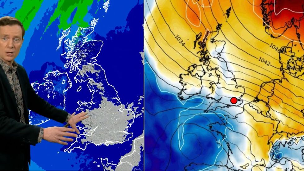
Britons will be digging out winter coats this weekend as weather patterns shape a near carbon-copy of the dreaded 2018 Beast from the East
Met Office/ WX CHARTS
Met Office meteorologist Alex Deakin said: “Next week it is all about this area of high pressure building over Scandinavia, and it draws in that easterly wind which is going to be a feature of the weather through the weekend and then sticking around for a good chunk of next week.
“In 2018, when we had the so-called Beast from the East occur in late February into March, the pressure pattern was remarkably similar on the face of it with high pressure sitting over Scandinavia, and our wind coming from the East.
“But the air was coming in directly from Siberia, whereas now the air is drifting a little further south than it was in 2018.”
Slightly higher temperatures over Poland, Siberia and the Baltics will also put the breaks on any UK snowfall, he explained.
But the run up to mid-month will feel colder than of late with temperatures dipping to freezing or below in parts, he added.
LATEST DEVELOPMENTS:
He said: “That easterly wind is going to bring colder conditions, but it doesn’t look exceptionally cold and there are a couple of reasons for that.
“The winds are coming up a little bit from the south, and that is quite important, because it means it won’t be quite as cold, and the air over here isn’t as cold as it would usually be.
“For most places it is going to be dry, and by the time we get to Saturday, we suspect most of the wet weather across the east will be sleet and rain, but we are not expecting huge amounts of snowfall as this low-pressure heads north through the weekend.”
Eastern regions are in the firing line for rain this weekend with falling temperatures threatening sleet or even snow.
The jet stream swerving south over the UK will whip a small storm system from France into the UK.
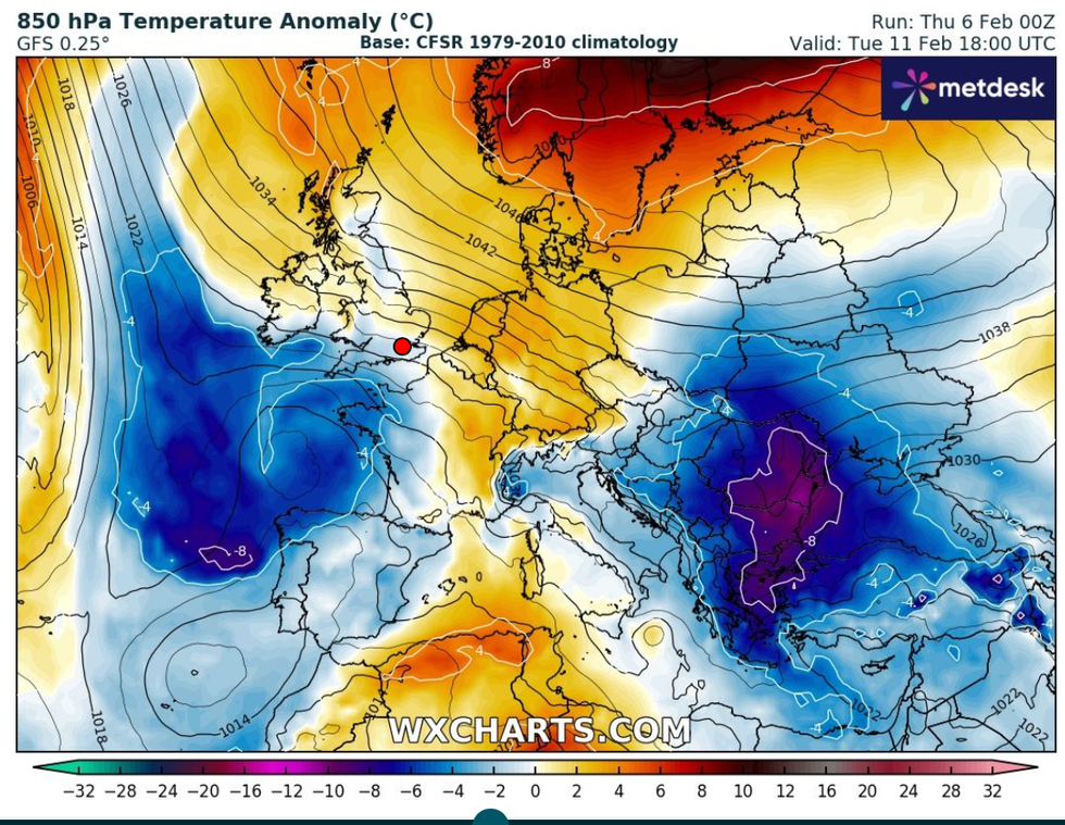
The run up to mid-month will feel colder than of late with temperatures dipping to freezing or below in parts
WX CHARTS
Deakin said: “The jet dives back further south down across the UK, it’s not as strong, but nevertheless this little dip is strong enough to maybe generate an area of low pressure across France that will push northwards and mix things up again as we head into the weekend
“We will see some wet weather particularly across eastern counties.”
As government forecasters allay fears of a major cold snap, independent experts warn ‘winter is not over yet’.
Icy winds, though unlikely snow-laden, threaten a shivering and frosty end to the season.
Jim Dale, meteorologist for British Weather Services and social commentator, said: “From around the middle of the month there are signs of something much colder.
“This is something we are keeping our eyes on as a watching brief in terms of snowfall, and whether we get anything more significant from the Arctic.”
