
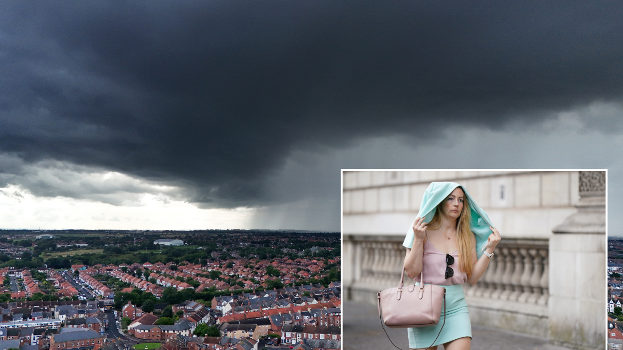


A rain-laden cold front spanning the length of Britain will sweep the country to offload a 10-day deluge.
Swathes of the UK are at risk of flooding as the heat gives way to chilly winds and persistent downpours.
A churning low-pressure system to the north of Scotland will drag cool air into heat and humidity left from recent warm weather.
Where the two collide, thunderstorms will bring heavier downpours into the middle of August, experts warn.
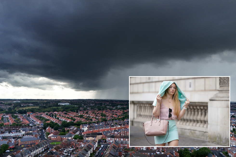
Large parts of Britain will be hit with heavy rain
|PA
Jim Dale, meteorologist for British Weather Services, said; “There will be a regional risk of flooding for the next 10 days, and we could see two to three inches of rain fall in parts over a seven to eight-day period.
“Northern Scotland, Northern Ireland, northwest England and Wales are in for a wet time to say the least.
“As the colder conditions come in from the northwest, meeting warmer air to the south, there will be a risk of thunderstorms in between.
“The heat and humidity will act as a catalyst, and the regions most at risk will be the Midlands.”
South-eastern England may dodge the deluge with drier, warmer conditions forecast for the coming days, he added.
He said: “Temperatures here will reach the mid-20Cs, and that is typical for this time of year.”
LATEST DEVELOPMENTS:
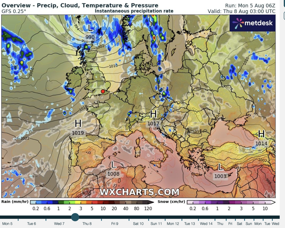
Low pressure to the north of the UK
|WXCharts
The culprit is a weather front trailing from a low-pressure system hovering to the north of the UK.
The front, which marks the boundary between warm air left from the recent heatwave and cold air from Iceland, will push south-eastwards through the week.
Met Office meteorologist Alex Burkill said: “A front lying across the UK is pushing its way south-eastwards bringing some rain and something a bit fresher from the northwest.
“Showers will come in from the West on Wednesday before various systems come in from the west as we go through Thursday into Friday, so most of us will see some rain at times.
“It is going to be a bit breezy as we go towards the end of the week and that will add to the relatively cool feel of things.”
The next few days will be ‘mixed’ before the chance of heavier rain towards the weekend, he added.
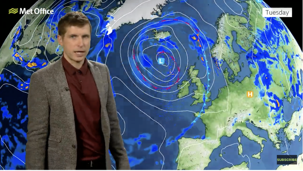
Met Office’s Alex Burkill warns wetter weather on the way
|Met Office
He said: “As we go through later this week, there is some changeable weather to come.
“Wednesday is looking a bit cool and a bit showery with the heaviest and most frequent showers towards the northwest of the UK and then we have those fronts coming through on Thursday and Friday so most of us will see a bit of rain at times and it is going to be a bit breezy too.”
It comes as Met Office figures reveal July, despite the recent hot weather, to have been cooler than average.
Temperatures for the month were 14.8C on average – around 0.5C below the monthly norm.
Met Office scientist Emily Carlisle said: “The start of July continued June's theme of cooler than average weather, but with the addition of more wet conditions.
“Low pressure across the UK led to unsettled weather at the beginning of the month and several frontal systems brought bands of rain.”