


Spring will kick-off with a weather overhaul as Britons ready themselves for blue skies, sunshine and 15C temperatures.
Weeks of chilly winds, rain and grey cloud will back off just in time for the season to change.
The U-turn will be delivered by major changes in weather drivers including a shift in the jet stream and the arrival of the ‘Azores High’.
More usual during a summer heatwave, the Azores High – a powerful body of high pressure pushing in from the tropics – will push temperatures 5C above average.

Britain could see highs of 15C which would be the hottest day of the year so far
PA
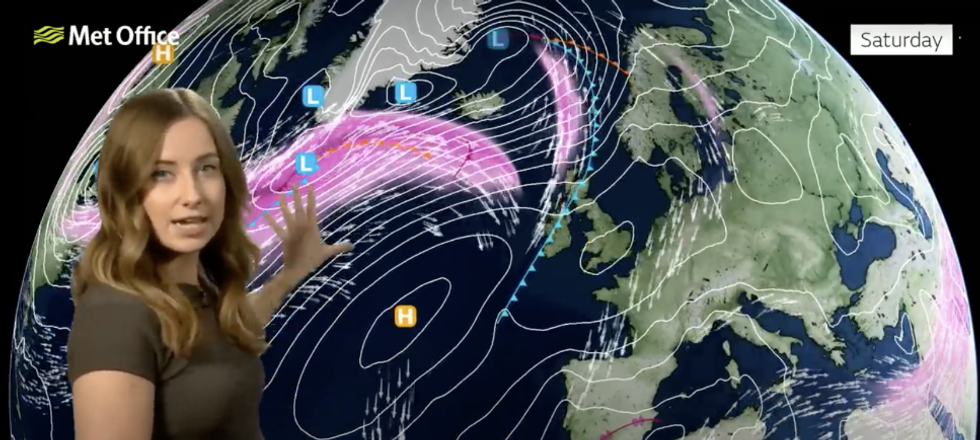
Met Office meteorologist Honor Criswick said: “The Azores high gradually stretches its way into the country as we head towards the end of the week and into the weekend.
“Temperatures widely look as if they are going to be above average as we head into the next couple of weeks.
“There is a good indication as we head towards next week that we could see some pretty mild temperatures for the time of year.”
Chilly winds, fog and overnight frosts will cling on this weekend to mark the end of the meteorological winter.
The jet stream, which for months has steered unsettled weather into Britain, will finally shift.
As the jet moves northwards, high pressure, the driver of settled weather, will build opening the doors to mild, southerly winds.
LATEST DEVELOPMENTS:
The Azores High is a powerful body of high pressure pushing in from the tropics
MET OFFICE
Criswick said: “The jet stream is to the north of the country which really allows that high pressure to build as we head towards the weekend.
“On Friday night, we are expecting quite a widespread frost under clearer skies and it is fairly similar on Saturday and Sunday, so perhaps a bit more frost across southern areas as we go into Sunday night.
“Into next week, there is going to be lots of settled weather around, some frost and fog during the morning but there’s a good chance that we could see most of the wet and windy weather confined to the northwest at times next week.
“As we move through the week, there is quite a good indication across parts of the south and southeast that we potentially could just about reach 15C which is a good 5C above average for the time of year and with the dry settled conditions, that is going to feel slightly pleasant where you do get the sunshine.”
A cold front pushing in from the northwest will bring the risk of wind and rain to Scotland and the northwest, she warned.
She said: “On Monday, a frontal system across the northwest tries to push its way south-eastwards across the country, and that just means it’s going to turn a little bit wet and windy for northern Scotland as we head into Monday.”
The last gasps of winter could bring a touch of snow to the Highlands this weekend, experts warn.
Clearing skies and fresh winds also threaten morning frosts, fog and chilly starts for northern regions.
Jim Dale, meteorologist for British Weather Services and social commentator, said: “As the seasons change this weekend, there be a risk of colder temperatures and perhaps the odd flurry of snow in the Highlands of Scotland and further north.
“And the weather could be mixed as we change seasons, with the risk of northwesterlies in the mix.
“However, we are going into the start of spring and there are signals for the weather to change, so it is a case of watching to see how quickly this happens.”
Most read


More


