UK weather: Parts of Britain may see heavy snow as blitz of severe gales and plunging temperatures to unleash Storm Eowyn
It will hurtle towards Britain on an unusually strong jet stream powered by a -20C ice plunge gripping the US
Don't Miss
Most Read
Trending on GB News
A winter mega blast crippling the United States is about to drive Britain’s first named storm of the year.
A blitz of severe gales and plunging temperatures threatens the calm start to 2025 sparking warnings of weekend weather chaos.
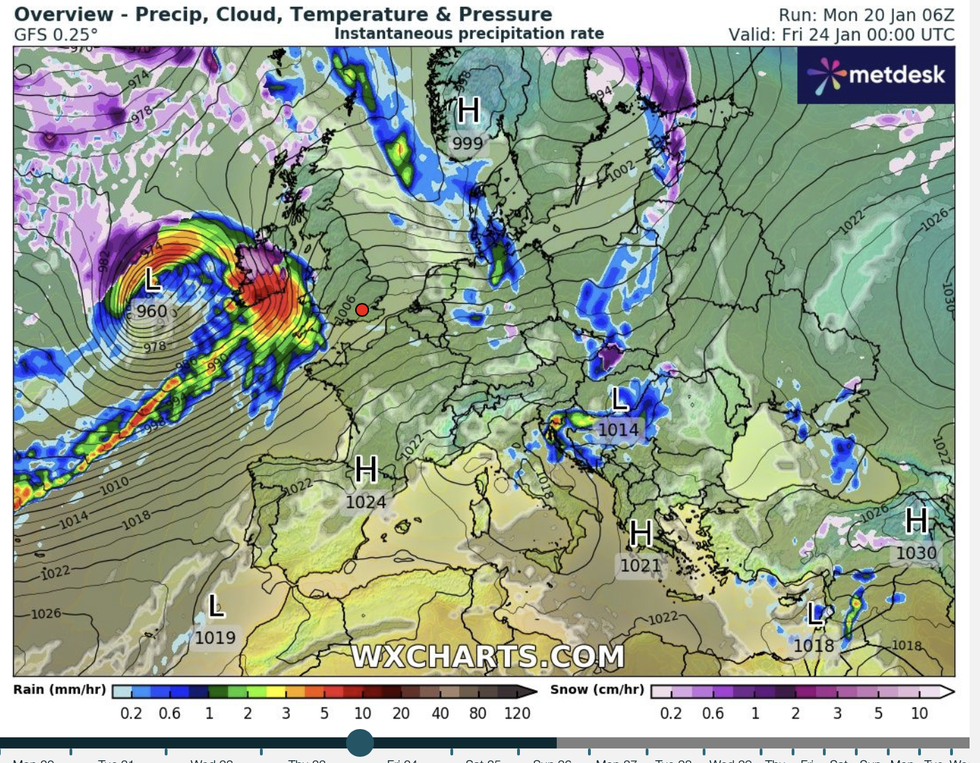
Depending on the track of the huge storm, which will bring the fifth name of the season – Eowyn, parts of the country risk heavy snow.
It will hurtle towards Britain on an unusually strong jet stream powered by a -20C ice plunge gripping the States.

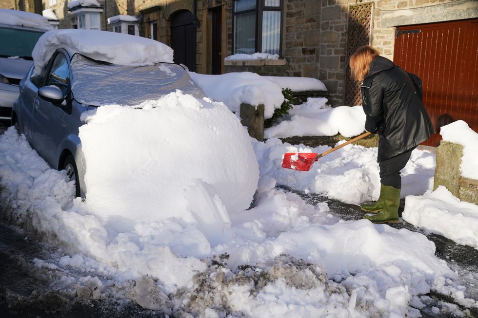
Britain could see snow again just days after a deluge swept parts of the nation earlier this month
PA
Met Office meteorologist Aidan McGivern said: “It is relevant for the UK’s weather what happens as a result of this cold blast across the US.
“The power of that jet stream coming out of America is really going to stir things up for the UK, and it is going to bring about a marked change in the weather.
“It will bring westerlies, chopping and changing, spells of wind and rain, and it will be very unsettled with potentially some deep lows, although it is still early to give exact details on that.”
Volatile low-pressure systems carrying strong winds and rain will start shaking the weather from around Friday, he warned.
Winds will reach severe-gale force in exposed regions with most of the country at risk depending on the track of the storm.
LATEST DEVELOPMENTS:

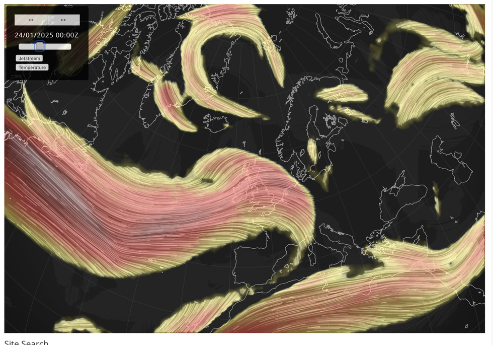
Stormy weather in the UK will be stirred up by severe cold weather across the US driven by an ‘elongation of the Polar stratospheric vortex’
Netweather
Jim Dale, meteorologist for British Weather Services and social commentator, said: “I think this storm is going to move directly across the UK, and so the impact from that would be enough to earn a name which would be Eowyn.
“We are looking at a very disruptive period of weather after the current calm, with winds reaching severe-gale force in parts.
“Depending on where the storm tracks, there will be the potential for snow, most likely to Scotland and the north of the country.”
Stormy weather in the UK will be stirred up by severe cold weather across the US driven by an ‘elongation of the Polar stratospheric vortex’.
Cold air over the stratosphere – the layer of the atmosphere five miles from ground level – is sweeping over the United States.

While the Met Office is yet to issue a name for the storm, it is building enough strength to earn one, experts say
WXCharts
As it drives dangerous cold weather over America, it will bump against warmer southerly air to fire-up the jet stream.
This turns the jet into a supercharged storm conveyor belt, steering and energizing low-pressure systems on their path to Britain.
McGivern said: “The Polar stratospheric vortex is elongating, into North America, so it is dropping down from the North Pole, and the Americans call this a Polar Vortex.
At the same time, that is coming up against much warmer sub-tropical air just to the south of Florida, and because of that temperature contrast the jet stream fires up, and that helps to drive our weather as it moves across the Atlantic, picking up and deepening areas of low pressure.
“We are not getting the cold air that America is experiencing, but it is connected to our weather joined up by the jet stream, so we are feeling the effects of it even though those effects are not the same as the cold weather they are experiencing.”


