UK weather: Britain to be engulfed in MORE storm misery as nation reels from torrential flooding
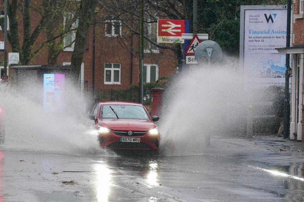
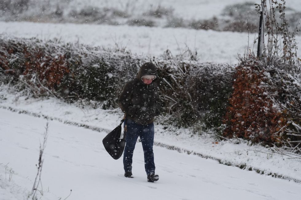
Storm Bert brought winds, torrential rain and snow
Don't Miss
Most Read
Trending on GB News
Battered Britain is facing a winter of disruptive weather with the rest of 2024 likely to be locked in Atlantic-dominated storm misery.
As the nation reels from 100mph winds, torrential rain and snow, the end-of-year outlook is for more of the same.
Storm Bert was steered into Britain by a powerful southerly jet stream which strengthened the deepening pressure system on its approach.
Warm Atlantic waters and a pattern of low pressure to the west paints a continuing stormy picture in the run up to Christmas.

Many parts of Britain were hit by severe flooding
PA
After a relatively calm storm season since its start in September, Britain’s weather may be about to ‘play catch-up’.
Jim Dale, meteorologist for British Weather Services and social commentator, said: “There are likely to be more storms going through December as we play catch-up after the calmer picture through autumn so far.
“We will be keeping our eyes open for the next major event, with another significant storm possible before the end of this month or at the start of December.
“We have only had two storms this season, which is lower than would be expected with higher ocean temperatures, so I would be expecting a balance through the rest of the season to bring more in the way of storms.”
However, frost-bitten Britons can put their coats away with milder weather expected to shunt out the cold.
Dale added: “I do not expect to see more in the way of snow through this period, it is more of an unsettled picture with rain and wind the main features.”
LATEST DEVELOPMENTS:

Jim Dale said he does not expect to see snow this Christmas period
PA
The warning comes after a three-day battering from Storm Bert which finally departed yesterday leaving a trail of destruction.
The second storm of the season, following Ashley last month, unleashed 105mph winds across The Needles, near the Isle of Wight, and some of the worst flooding for years.
Communities across Wales, southern and western Britain are dealing with a major clean-up after inches of rain fell in hours.
Further unsettled weather is forecast through the start of this week before higher pressure brings a brief weekend calm.
Met Office meteorologist Alex Deakin said: “It is turning milder through the second half of the week, remaining changeable with the potential for low pressure to move across the south and that could bring further spells of wet weather.
“But generally higher pressure is nearer by and that would indicate less lively and less turbulent weather.”

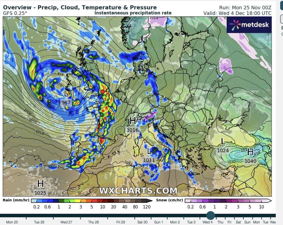
But with the jet stream close to the UK, the risk of another storm will not be far behind
WXCharts
But with the jet stream close to the UK, the risk of another storm will not be far behind.
Weather models show the jet firmly wedged over the country, passing over a breeding ground of Atlantic lows.
A similar pattern is expected across northern Europe with a windier than average picture possible into February.
This will be boosted by pressure changes across the north Atlantic – the so-called North Atlantic Oscillation (NAO).
Dr Todd Crawford, meteorologist for Atmospheric G2, said: “Across northern and eastern Europe, warmer, wetter and windier weather is expected, especially in the back half of winter.
“Stronger-than-average winds are expected across the UK and Scandinavia, and occasionally across northern Europe where the NAO flexes towards more positive values.”


