UK weather: 'Upstep in wet and windy' conditions could strike Britain this Autumn as 'complex' El Niña brews

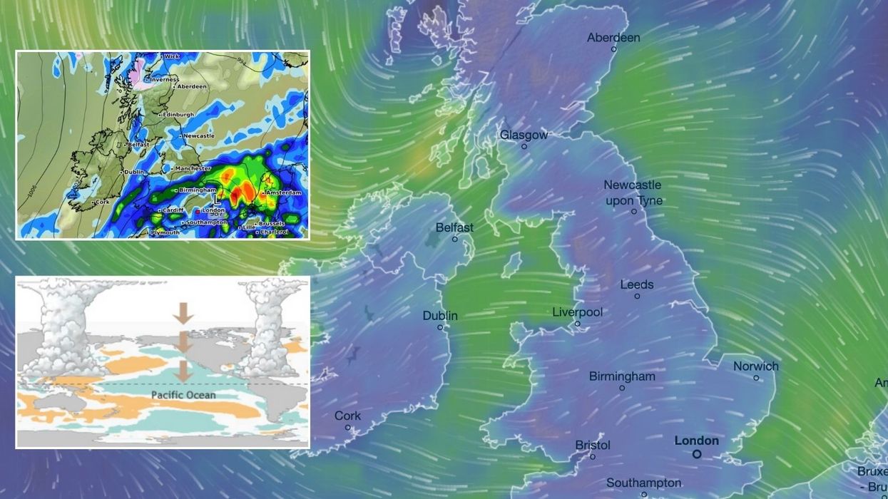
Britain could be set for 'wet and windy' weather this Autumn with possible 'storms and ex hurricanes' causing 'hazardous' conditions if a complex weather phenomenon forms
|Real Weather/ WXCHARTS/ Venusky

The World Meteorological Organisation warns that there is now a 60 per cent chance of weather phenomenon La Niña
Don't Miss
Most Read
Latest
Britain could be set for "wet and windy" weather this Autumn with possible "storms and ex-hurricanes" causing "hazardous" conditions if a complex weather phenomenon forms.
An extreme weather pattern, known as La Niña, could impact the UK with chaotic conditions in October.
The World Meteorological Organisation warns that there is now a 60 per cent chance of La Niña - changes to temperatures in parts of the Pacific Ocean - around the end of the year.
Senior Meteorologist and Social Commentator, Jim Dale, told GB News that although the phenomenon doesn't necessarily affect Britain's "temperate so much", the UK could still see an "up step in terms of the wet and windy affairs".
 Britain could be set for 'wet and windy' weather this Autumn with possible 'storms and ex hurricanes' causing 'hazardous' conditions if a complex weather phenomenon forms | Real Weather/ WXCHARTS/ Venusky
Current neutral conditions are expected to transition to La Niña between October and February next year.
A La Niña phase "typically brings stronger trade winds blowing warmer water towards the west Pacific, this then, in turn, causes cooler water moving up from the East Pacific leading to much more varied weather conditions globally".
This comes after an extended period of its opposite, the warming El Niño pattern, which drove a year of record-breaking heat before subsiding in early summer.
Dale said: "We're on the fringes of it yet again, so La Niña will affect tropical areas such as Australia, parts of Africa, South America, these sorts of areas, rather than necessarily ourselves.
"So those are the areas to watch for big events, that combined with climate change, that's exactly what will occur for ourselves, a little bit less."
LATEST DEVELOPMENTS:

Extreme weather pattern, La Niña, could impact the UK with chaotic conditions in October
|Real Weather
He added that meteorologists and climatologists will dispute what El Niño means for the UK, but based on his weather models, Dale said: "If we are looking for the best estimate of what we can expect going through to autumn time, I would very much suggest that given that Atlantic sea temperatures are where they are, we will see an up step in terms of the wet and windy affairs.
"That doesn't mean we can't see a little bit of warmth from time to time, wafting up from Spain and Africa, and the Indian summer coming along.
"So really, it's more the wet and the windy and the storms, ex hurricanes potentially.
"That's I think where the focus has got to be for ourselves, and when they come of age to the population, generally they can create obviously very dangerous conditions as hazardous conditions."

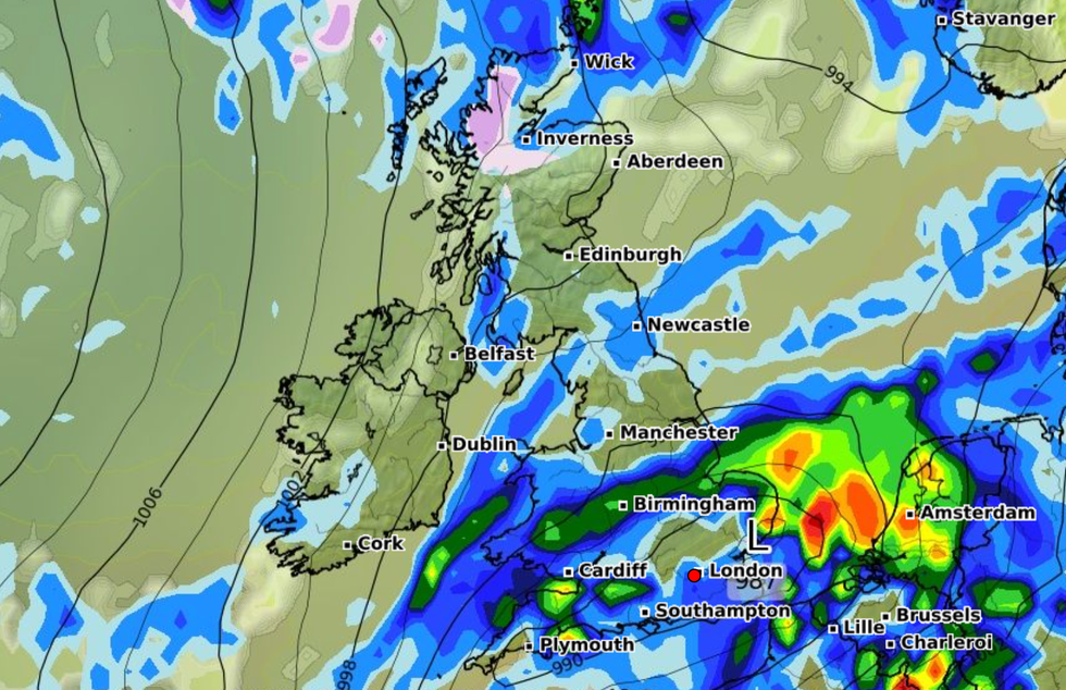
Heavy rain and unsettled conditions are forecast from early October
|WXCHARTS

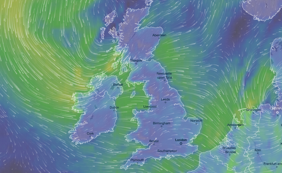
Senior Meteorologist and Social Commentator, Jim Dale, told GB News that although the phenomenon doesn't necessarily affect Britain's 'temperate so much', the UK could still see an 'up step in terms of the wet and windy affairs'
|Ventusky
La Niña is marked by abnormally cold ocean surface temperatures in the equatorial Pacific, resulting in generally cooler conditions.
Its effects vary based on timing and duration but can lead to drought in the southern US, both drought and flooding in various regions of South America, increased rainfall in South Asia, and flooding in Canada.
Some experts suggest this could impact the UK in more economic surges in terms of the price of food and other resources.


