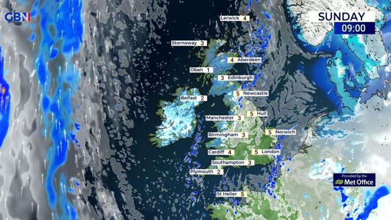
One forecaster warned of ‘widespread and heavy snow showers’
Don't Miss
Most Read
Trending on GB News
The Met Office has predicted Britain will be hit with snow as new maps have shown the country could be lashed with as much as 10cm of sleet and snow and freezing temperatures sweep south.
Forecasters at the Met Office have said the middle of January could see snowy conditions develop in the north and midlands as a pressure lid keeps cold conditions hovering across the UK.
Cold weather conditions have already sunk temperatures into low single digits nationwide but new weather maps by WX charts suggest the mercury could dip as low as -4C.
Northern England could see as much as 10cm of snow with Exacta Weather forecaster James Madden predicting “widespread and heavy snow showers across large parts of the country” from the middle of the month and extremely cold conditions.
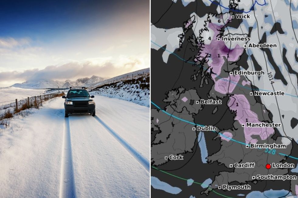
UK snow: Britain to be lashed with 10cm of heavy snow as -4C freeze grips nation
WX charts/Getty Images
He added: “This will see most and if not all parts of the country getting dragged into an extended snowy regime over at least a several-day period, and literally anywhere will be at a much significantly higher risk of seeing some heavy and settling snow within this particular period (from parts of the far north to the far south of country, and especially down the eastern flank of the country from Scotland to southern England too).”
According to the Met Office long-range forecast for 11-20 January, cold air and snow could sweep south as a high-pressure system is predicted to reorient itself towards the northwest of the UK.
It reads: “High pressure will remain in charge at first, whilst sitting to the north or northwest of the UK.
“Many areas will often be dry if rather cloudy, however occasional light rain or drizzle is likely, especially on some east-facing hills.
LATEST DEVELOPMENTS: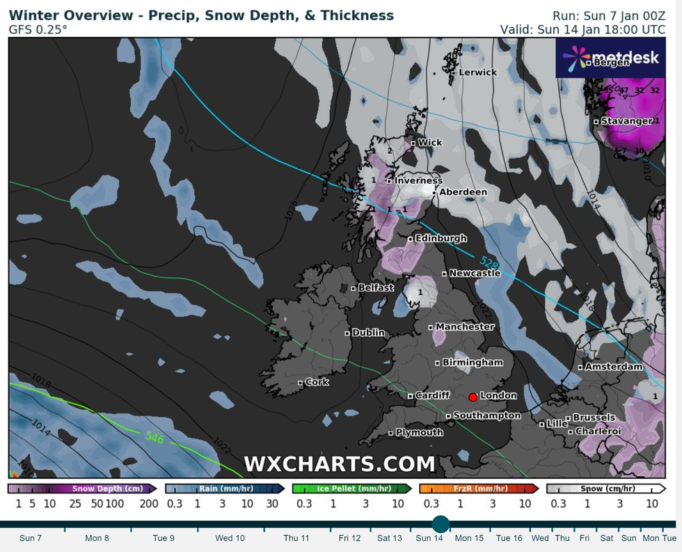
Snow will move south as cold weather continues
WX Charts
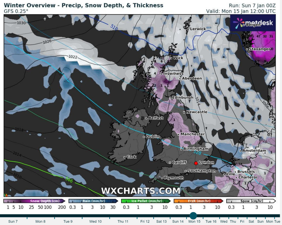
Going into Monday 15, snow will continue to move South
WX Charts
“The best of any sunshine in sheltered western and perhaps southern areas and still rather chilly for most.
“Towards mid-month, the high will likely decline or reorientate itself to the west or northwest of the UK, potentially allowing colder air with snow showers to filter south across the UK and/or for frontal systems to approach from the southwest.
“The latter scenario would also bring the potential for significant snow and also perhaps some heavy rain to parts of the south.
“Either way a more unsettled outlook towards mid-month looks probable.”
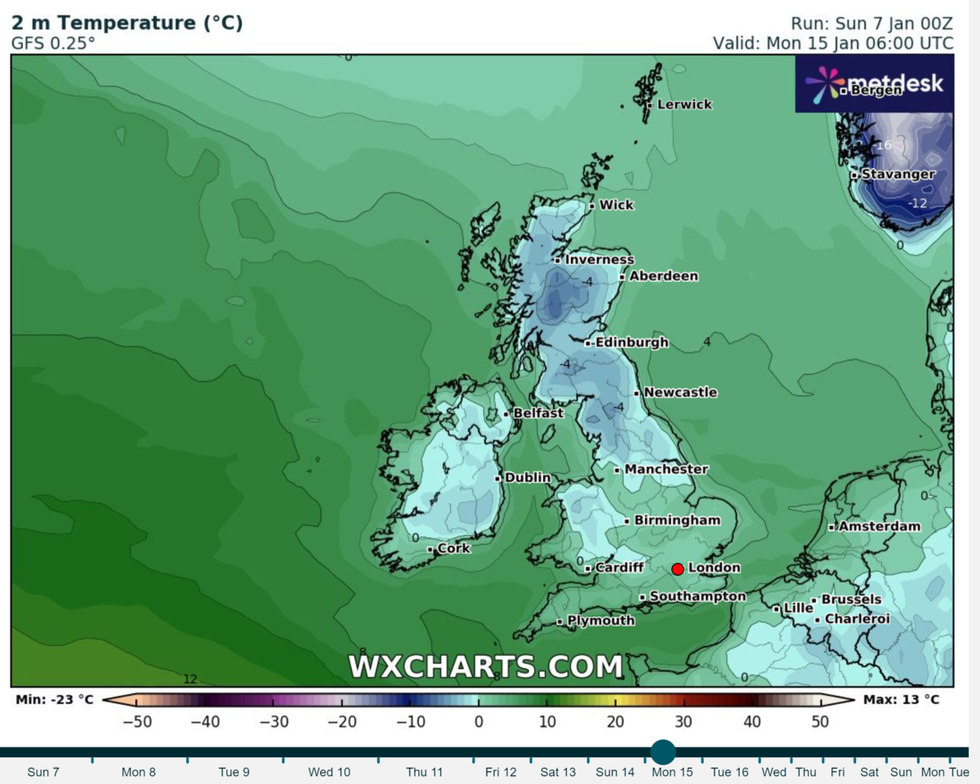
Temperatures could dip to -4C
WX Charts
However, it adds that from January 20 “colder weather is more likely to dominate” and has the potential to bring “more widespread snow to parts of the UK”.
Looking further ahead for the period between January 21 and February 4, the Met Office predicts: “Through this period, compared to normal, there is an increased chance of colder conditions along with the associated impacts from low temperatures, ice and snow.
“Whilst colder weather is more likely to dominate, there is also the possibility of further frontal systems at least encroaching from the west or southwest, bringing the potential for more widespread snow to parts of the UK as they butt up against any cold air in place.
“These would also increase the likelihood of wetter conditions redeveloping, at least in the south, where occasional milder interludes are also most likely.”

