Temperatures could plunge to -15C in parts of the country with bitter cold weather forecast through the rest of January
Don't Miss
Most Read
Trending on GB News
Britain will freeze in the jaws of a Scandinavian snow-beast until February as the nation braces for possibly the worst Arctic deluge in more than a decade.
Freezing winds will blow in from the Nordic north this weekend as government forecasters warn to brace for snow.
Temperatures could plunge to -15C in parts of the country with bitter cold weather forecast through the rest of January.
High pressure will bring mostly dry weather through the next few days, before a low-pressure system shifts over Scandinavia to ‘open the doors to Arctic winds’.
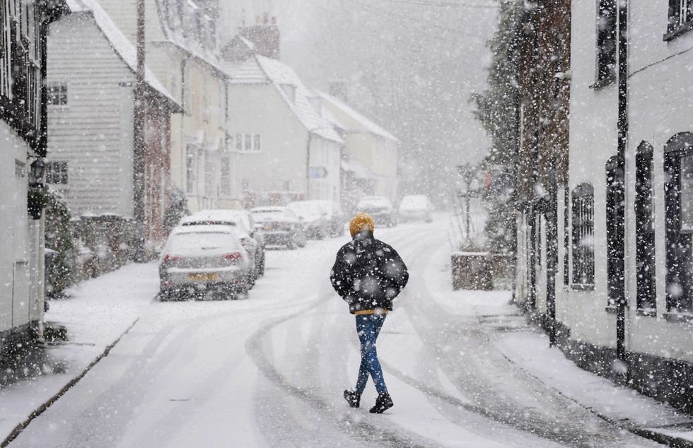
Snow covered parts of Britain yesterday
PA
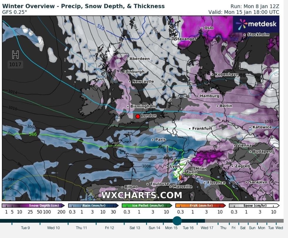
A cold weather front is coming in from Scandinavia
WXCHARTS
An unyielding risk of snow through the rest of the month could bring the worst winter whiteout since 2010, according to some independent forecasters.
Exacta Weather’s James Madden said: “Over the next few weeks, there will be a high chance of snow with the risk higher than the same period over the past few years or indeed, since the big freeze of 2010.
“It is likely we are about to start seeing images of vast regions of the nation covered in snow during a cold spell which is likely to hold out for an extended period.
“As well as the risk of snow, we will see harsh overnight frosts and the coldest temperatures dipping as low as -15C in the coldest parts of the country over the coming weeks.”
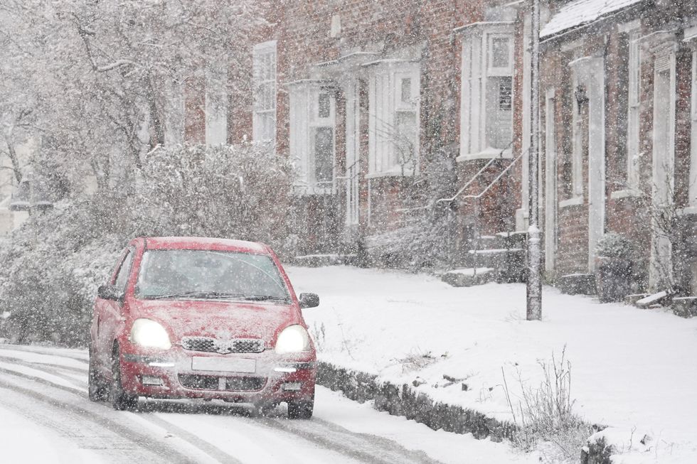
Drivers had to be very careful yesterday while driving
PA
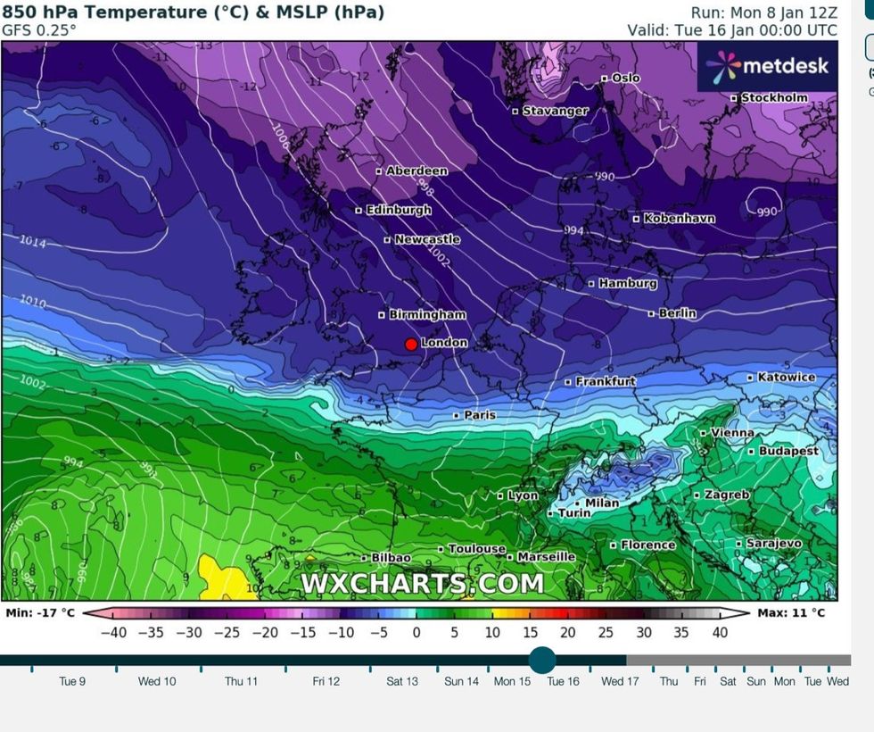
Temperatures could plunge to -15C later this month
WXCHARTS
After the storms and milder temperatures of recent weeks, Britons are urged to brace for ‘something completely different’.
High pressure responsible for keeping Atlantic storms at bay will sink southwards ahead of the weekend encouraging northerly winds.
A Scandinavian low will strengthen at the same time, increasing the risk of snow hitting the UK through to mid-January.
Met Office meteorologist Aidan McGivern said: “it is time for something completely different.“High pressure will generally be keeping things settled, that is until the end of the week.
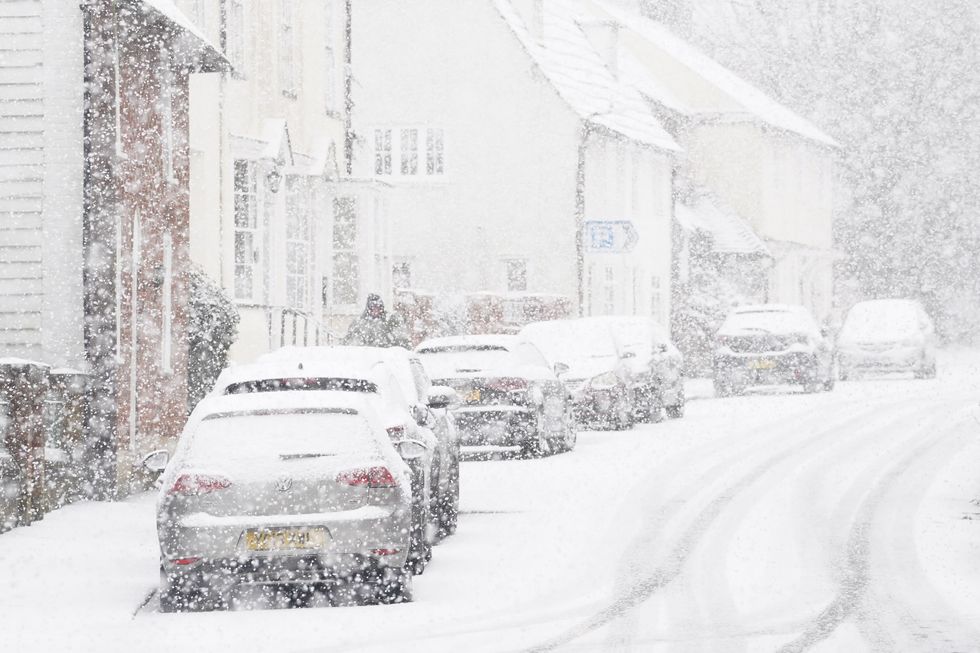
Visibility was restricted in certain parts of the country
PA
“As we go into the weekend, that high pushes to the west of the UK and a deepening low pressure moving into Scandinavia and we will see a brisk northerly airflow.
“Through the weekend, it is turning colder once again, this time not from the east, but from the north.”
A cold front will follow the sinking high in the run up to the weekend allowing winds to come in from the Arctic, he added.
He said: “A cold front sinks south on Friday and will progress southwards through the weekend opening the door to cold Arctic winds that will be cold enough for snow.
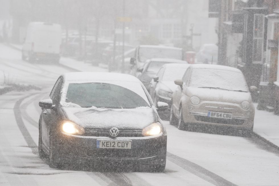 Britain was urged to brace for something different after the storms and floodsPA
“Eventually the colder air pushes across all parts of the country by the end of the weekend and into the start of next week.
“There is an increased signal for precipitation next week, and if you combine the cold air next week with the signal for precipitation, then it looks like there will be some snow around.”
The UK Health Security Agency last night upgraded a yellow cold weather health alert to amber.
It warns the elderly and people with health conditions to take extra care during what could be an extended cold snap.
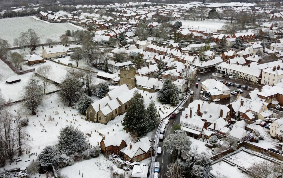
The village of Lenham in Kent was covered in the white stuff
PA
The Met Office warned of an ‘increased chance compared to normal’ of cold weather and the risk of snow into the start of February.


