UK snow BLIZZARD: Sudden Stratospheric Warming risks 'breakdown of Polar Vortex’ and NEW devastating 'Beast from the East'

|
MET OFFICE

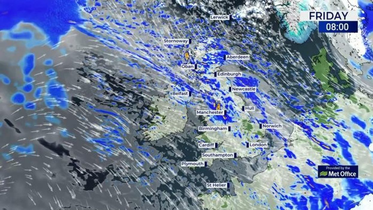
Meteorologists are keeping guard over the Polar Vortex, the direction of whose collapse will determine the target of the bitter blast
Don't Miss
Most Read
New Year could kick off in the jaws of a savage winter freeze with a ‘breakdown of the Polar Vortex’ threatening a return of the Beast from the East.
Worrying weather outlooks for the start of 2024 have meteorologists ‘hot under the collar’ as alarm bells sound for ‘prolonged and widespread’ snowfall.
The UK could be facing a repeat of the notorious 2018 Beast from the East when torrents of snow blew in from Russia sending temperatures plunging to minus double figures.
It was the result of a Sudden Stratospheric Warming (SSW) which blocked the westerly flow of the jet stream, allowing roaring winds in from the east.

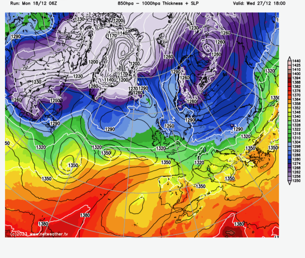
Polar vortex sinks over the UK
|NETWEATHER
Another SSW event is expected in early 2024 and this, experts say, could trigger an early cold blast.
James Madden, forecaster for Exacta Weather, said: “The risk is growing for a prolonged cold and snowy spell as we head into the early part of January.
“This is due to the risk growing for another SSW event within this period, and this could bring the threat of another Beast from the East in early 2024.
“There are now strong indications for a major SSW to occur during the early part of January, and if it does, many parts of the UK can expect to end up in the freezer with snow events and severe cold weather.” we
Cold weather could hold out through much of the rest of winter with snow possible into February, he warned.
Unlike a minor SSW which set in during the start of last year, this event is expected to bring a major disruption to Arctic airflows.

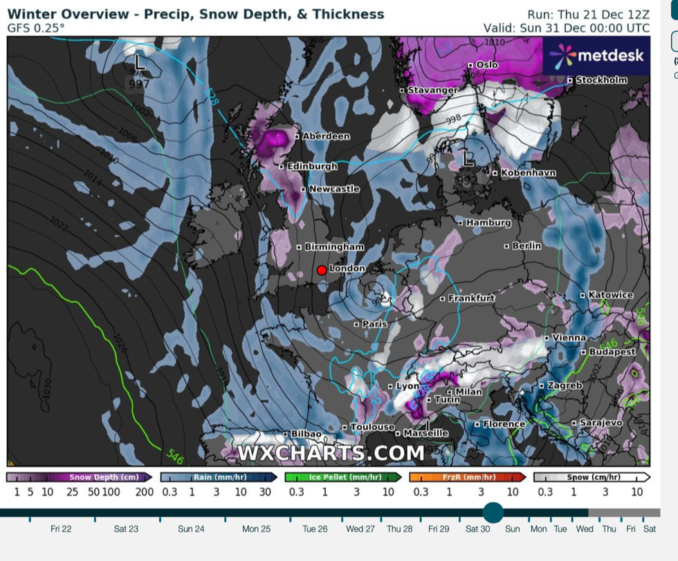
Snow risk grows through the end of the year
|WX CHARTS
Mr Madden added: “Unlike the SSW of early last year that brought us a little taste of snow and cold last March, this is potentially major disruption of the polar vortex.”
Sudden Stratospheric Warming events can change the shape of the jet stream, from a straight ‘zonal’ pattern, to a more wavy ‘meridional’ form.
The latter can help build high pressure which blocks the milder, stormier inflow from the Atlantic, and favours colder blasts in winter.
The impact of an SSW event is most likely during January of February with the effect on the UK still uncertain, according to the Met Office.
Professor Adam Scaife, the Met Office’s head of long-range forecasting, said: “There is an increased chance of an SSW occurring later this winter.
“Although any impacts will become clearer nearer the time, any effect on UK weather is most likely to occur in January and February.”
A spokesman added: “The Stratospheric Polar Vortex is weakening, which increases the chances of a Sudden Stratospheric Warming (SSW).
“This can ‘block’ the Atlantic low-pressure systems, which often bring mild, wet and windy weather, from crossing the UK.
“Therefore, increasing the chance of cold, dry weather here and mild, wet and windy conditions for southern Europe.”
Meteorologists are keeping guard over the Polar Vortex, the direction of whose collapse will determine the target of the bitter blast.
Europe and the UK could be in the firing line, although Arctic winds could end up spilling over Asia or America.
Jim Dale, social commentator and meteorologist for British Weather Services, said: “It is a bit of a lottery if, when and where this happens, but meteorologists are now getting hot under the collar as the signs are there for a Sudden Stratospheric Warming event during the start of next year.
“If this did happen, there would be the risk of another Beast from the East-type event, like the one in 2018 and earlier in 2010.
“It all depends on the dislocation and breakdown of the Polar Vortex, and so this is what we will be watching over the coming days and weeks.”


