National Highways has issued a 'severe weather alert'
WXCHARTS
Drivers are being warned that heavy snow will hit during the evening rush
Don't Miss
Most Read
Latest
Britons have been urged to brace for “prolonged and heavy” snow as a severe weather alert is announced by National Highways.
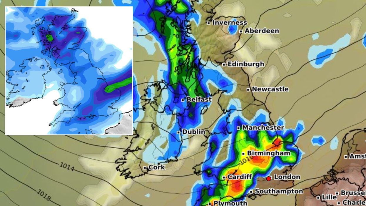
The warning will affect the South East and South West until 3am on Thursday with the West Midlands affected slightly later at around 3pm today.
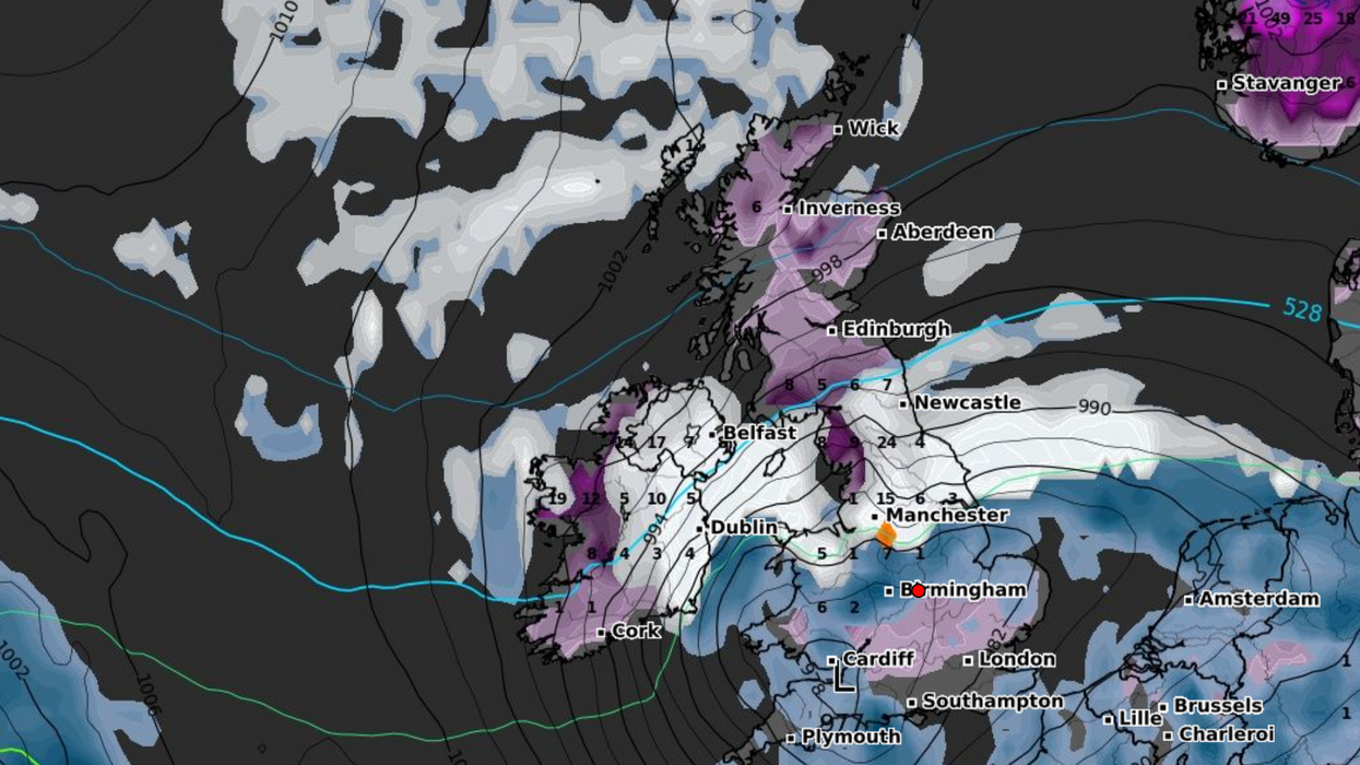
Forecasters have also issued an amber weather warning, in place from 3pm tomorrow until midday Friday, which could batter an area stretching from Stoke-on-Trent to Durham.
Areas in the South West and South East will see the most significant snowfall with 1-2cm for many and up to 5cm on higher ground.
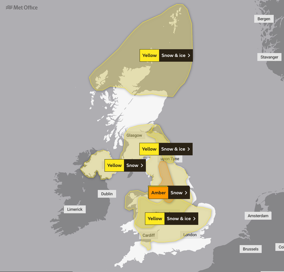
An amber weather warning for snow is in place for Thursday
Met Office
According to weather forecasters, the snow will most likely lose ground in Devon but elsewhere it will be prolonged and occasionally heavy.
Areas expecting to be hit more severely include the M5 which is likely to lead to lead to slow traffic.
In the South West, 2-5cm of snow could land with the chance of 8-10cm on modest hills, including North Wessex Downs, Surrey Hills and North Downs.
Snow is expected to gradually ease after midnight on Thursday followed by a cold night with lying snow and icy stretches.
A second and more significant wave of snow is due in southern parts of the Midlands in the early afternoon.
The Met Office said the sudden cold snap is caused by "an Arctic maritime airmass" sweeping across the UK.
Travellers should expect some possible delays on the roads, as well as an increased risk of accidents as some vehicles may become stranded or cut off.
Anyone using public transport or planning on flying might also experience some unwelcome changes to their plans.
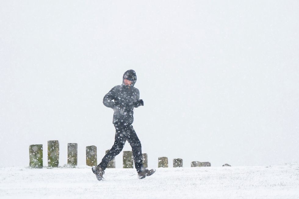
Heavy snow has fallen across Britain
PA
A National Highways spokesperson said: “Prolonged and at times heavy snowfall will push further north than initially expected, to affect much of the West Midlands and the western half of the eastern region (Oxfordshire, Buckinghamshire, Berkshire, Bedfordshire, Herefordshire).
“Snowfall will be heaviest late afternoon/early evening before easing late evening.
“Overall 2-5 cm is expected to accumulate quite widely with isolated spots on the highest routes seeing 5-10 cm, for instance on the M5 J1-J3, M1 J6a and M40 High Wycombe.
“This could lead to difficult driving conditions for the evening rush hour and potential loss of traction on steep inclines.”


