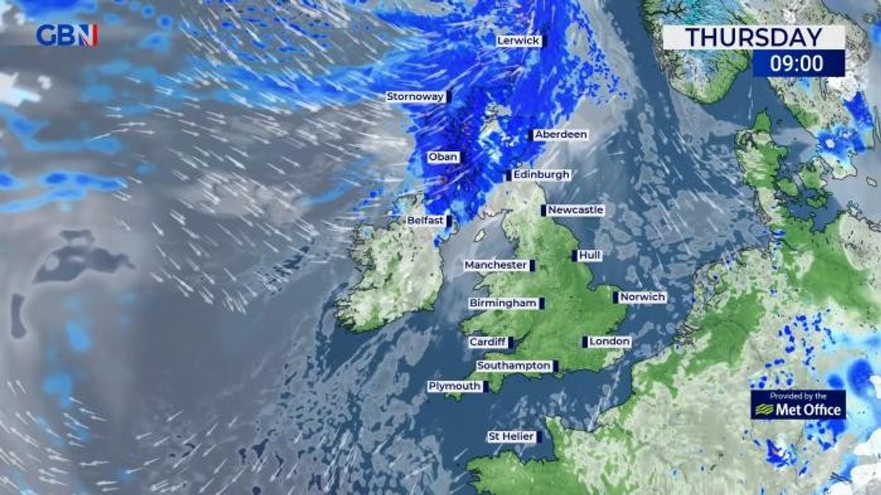
It comes after parts of Britain dropped to a chilly -2C last night
Don't Miss
Most Read
Trending on GB News
Britons can look forward to a “sustained” period of pleasant temperatures in the “mid to high 20s” arriving in the next few days, according to a forecaster.
The UK saw its warmest day of the year on Saturday, with a mercury of 21.8C recorded, however, the warm weather was quickly replaced with a cooler period, with temperatures dipping to a chilly -2C in some parts of Britain last night.
However, hopes of a hot spring may not be in vain, as a forecaster is expecting temperatures to “warm up” as a new high-pressure area arrives.
James Madden from Exacta Weather predicts that from April 20 onwards, temperatures will surge heading into May.

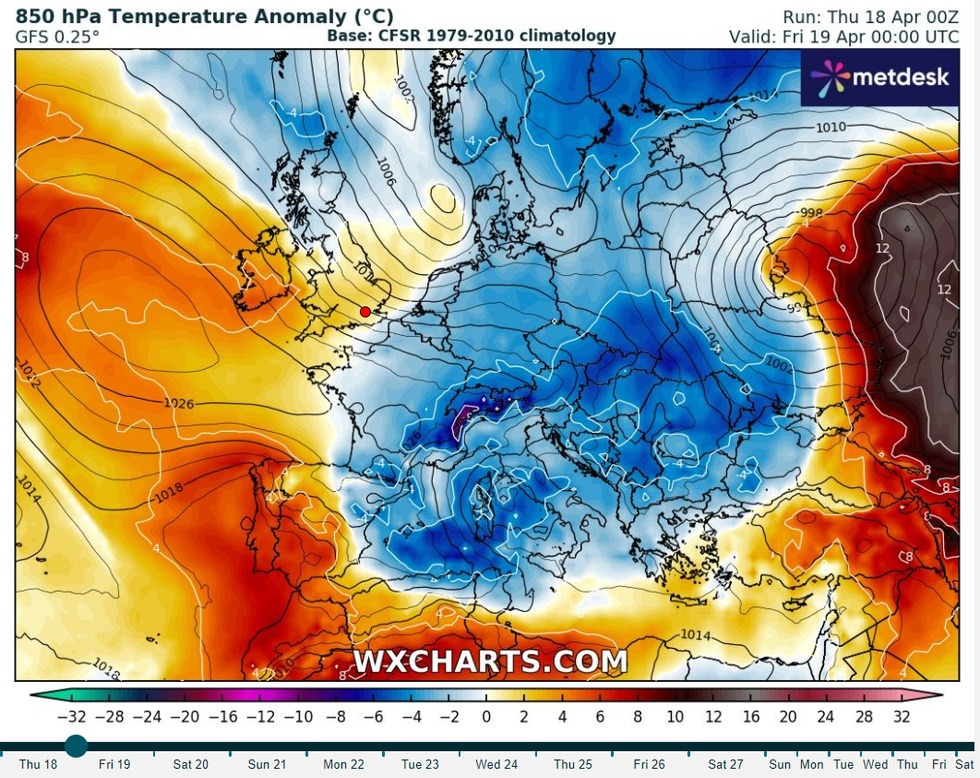
Temperature anomaly map showing an increase in the mercury on average
WX Charts
He said: “Following on from this will see high pressure and more settled weather finally beginning to take hold; however, it is still likely to be on the cool side to begin with, and before temperatures start to finally warm up significantly during the final third of April and into early May, as covered in all of our earlier and longer-range weather reports for in and 20th April onwards and preceding a cold period.
“It is within this period that we could see maximum temperatures ranging in the mid to high 20's, at the very least for the first time this year and over a sustained time period.”
The Met Office has also forecast that a period of “prolonged sunshine” is just around the corner.
It said: “This week sees an improving picture, with high pressure becoming increasingly dominant over the weekend and bringing dry, more settled conditions for many.”
WEATHER LATEST:
Looking ahead to the weekend, the weather forecaster said: “Finally on Saturday, some much-awaited high pressure moves in from the Atlantic.
“It’s a cold start though, with the possibility of some frost, especially in the north. Light winds and sunshine will make the day feel rather pleasant for many.
However, the Met Office is less optimistic than Exacta weather that the mercury will break into the twenties, predicting that it will reach “mid-teens at best”.
The UK’s national weather service added: “The southwest is likely to see the most prolonged sunshine.
“There is some cloud and rain expected in the far north of Scotland and Northern Ireland, but for most, it’s a fine and dry day.
“Cold overnight with a frost most likely in southern areas. High pressure is still in place on Sunday, although showers are possible in some northerly and eastern areas.”
In its long-range forecast from April 22 to May 1, the weather forecaster said: “This will generally be a settled period with high pressure close to the UK throughout. Most locations will remain dry, with variable cloud cover. Although some small areas or bands of thicker cloud, hill fog, and patchy light rain or drizzle will float about day to day.
 A couple relax on deckchairs in the warm weather in Hyde ParkGETTY
“There will also be a few showers, most likely in the east and south of England. Temperatures will often be around average by day, although with mostly light winds and clear skies it will feel warm in any sunshine.
“Overnight where cloud breaks allow, frosts are likely in rural areas. As already mentioned, winds will mostly be light, although slightly stronger winds are likely in the far southeast at times.”
Last week, senior meteorologist and social commentator Jim Dale told GB News that higher pressure is expected to move across France towards the south of England and Wales in mid to late April - bringing “pleasant spring weather”.
He said: “We're seeing a transition zone, where we are at the tail end of the wet weather and we will begin to see a north, south split.
“It will likely be dry and warm across southern England and Wales while the north and Scotland will transition slower - it may not be for another three or four weeks that Scotland transitions.
“But it appears we are out of the intense rain and we should see more heat, possibly revisiting temperatures of 21C in the next 10 to 14 days.”


