


Britain will feel the bite of winter’s return for another 10 days as shifting Arctic winds put the nation in the path of a collapsing Polar Vortex.
Snow is back on the cards for parts of the country as "blocking" pressure patterns open the gates to northerly winds.
Yo-yoing temperatures could plunge from highs of 20C over the weekend to freezing winter skies triggering "radiation frost".
Jim Dale, meteorologist for British Weather Services, said: “The diurnal, or 24-hour temperature contrasts, will be significant with a swap from the unseasonable 19C highs at the weekend back to single figures or lower through the week.

Minimum temperatures across the UK on Wednesday
ACCUWEATHER
“The Polar Vortex is coming down and this is going to make it feel wintry again, especially in the north and Scotland where there is the chance of snow.
“This colder weather is going to stick around for the next week to 10 days before there are any signs of the warmer weather returning.”
Spring could be blighted with outbreaks of cold as temperatures plunge under the steer of wind changes in the stratosphere.
For the past couple of weeks, experts have been watching a slowing of winds high above the Polar atmosphere.
They now think this may trigger a Sudden Stratospheric Warming (SSW) which can drive stubbornly cold spring weather.
LATEST DEVELOPMENTS: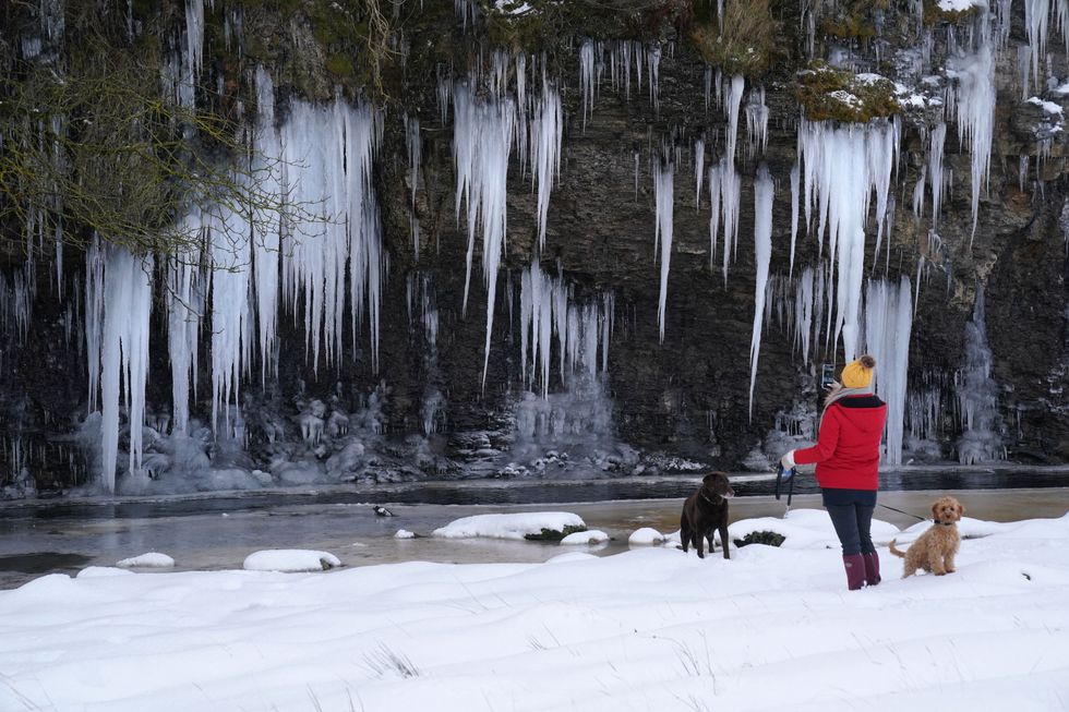
Tumbling temperatures will likely lead to freezing conditions
PA
A SSW was behind the notorious 2018 Beast from the East, although a less severe cold snap is more probable.
However, SSW can cause ‘blocking patterns’ in the weather which encourage persistent northern and easterly winds.
Met Office meteorologist Aidan McGivern said: “We are likely to see this SSW where you get a big warming in the stratosphere above the North Pole and a reversal of the winds circulating around the North Pole.
“What that can do is it can encourage blocked weather patterns 10 days or 14 days further ahead.
“If this happens, then that more unsettled weather may not last that long before higher pressure returns.”
Britain is currently a battle ground between low pressure to the south and high pressure to the north over Iceland.
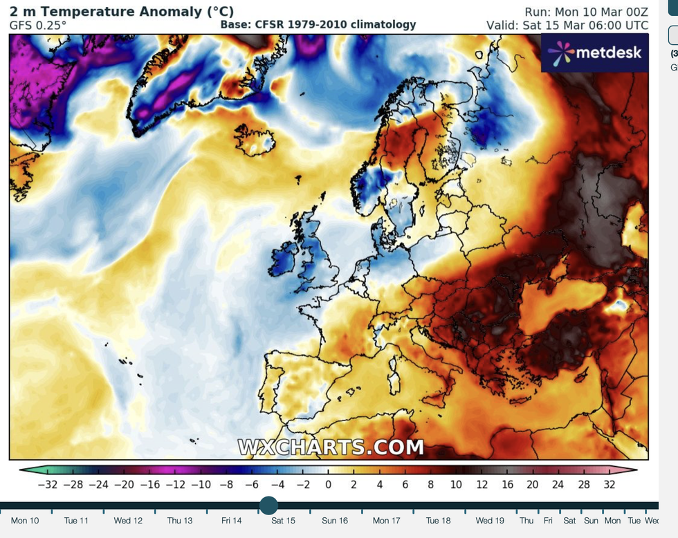
WXCHARTS released its temperature anomaly graph
WXCHARTS
If high pressure wins, the most likely picture into mid-March, warmer temperatures would give way to a wintry flavour.
McGivern said: “We have a build of high pressure to the north, a blocked pattern, and when this occurs it can get stuck for quite a long time, and this is what we are expecting.
“To the north there is a cold high near Iceland, and to the south there is a mild low that is sitting close to Iberia brining some very wet and windy weather.
“We are likely to see higher pressure to the north of the UK and lower pressure to the south and the southwest.”
Temperatures will widely fall below freezing with clear overnight skies forming morning frosts.
Daytime warmth radiating rapidly after dark will lead to harsh ‘radiation frosts’ experts warn.
Dale added: “Temperatures will fall more significantly under clear skies overnight, and this will bring the risk of frosts to parts of the country.
“This is more likely in the north and Highlands of Scotland but demonstrates the dramatic change from the weekend.”
