


Meteorologists are forecasting a final Polar Vortex collapse for mid-March, with experts even expecting to impact to be more powerful than February's disruption.
The upcoming event will mark the second major disruption of the Polar Vortex this year.
A collapse in mid-February coincided with a strong cold air release across much of the central and eastern United States.
Forecasters predict this March event will be the final collapse of the season, meaning the Polar Vortex will not return for some time.
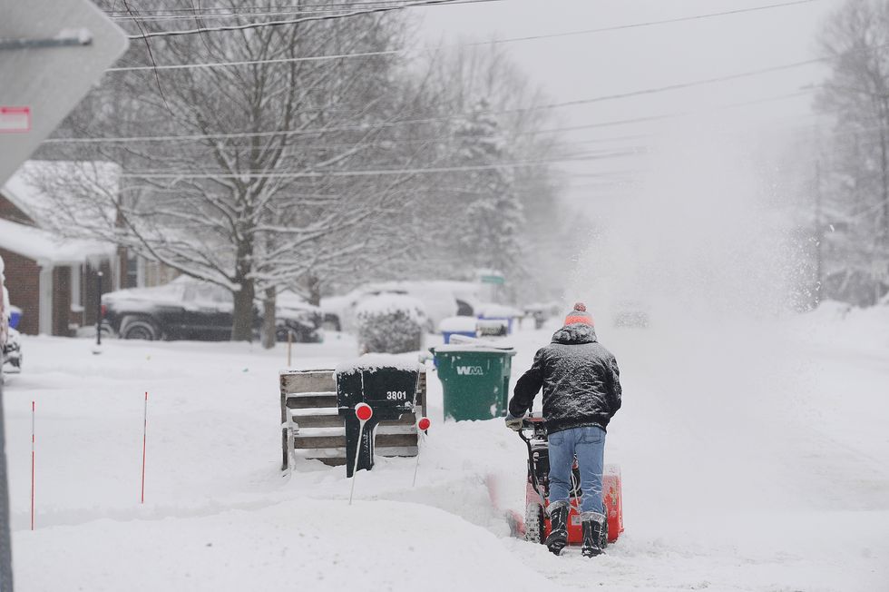
An image of a recent Polar Vortex sweeping New York
GETTY
First impacts are already being observed across the United States and Canada.
The Met Office describes the polar vortex as "a circulation of winds high up in the stratosphere, up to 30 miles (50 km) above the earth".
It is a winter phenomenon that scientists have studied for many years.
These stratospheric winds can be remarkably powerful.
"The winds regularly exceed 155 miles per hour (250 km per hour) - the strength of the winds in the strongest hurricanes (known as Category 5)," the Met Office added.
LATEST DEVELOPMENTS: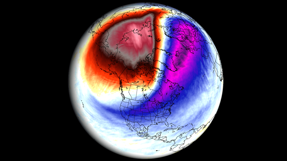
An image highlighting the impact of a Polar Vortex
Arctic air is now descending and spreading across the Lower 48 states.
Temperatures have plummeted well below average for this time of year.
The FOX Forecast Center warns this frigid pattern appears locked in for the foreseeable future.
A deep freeze could potentially last through the end of the month.
More than 204 million Americans are currently experiencing temperatures below freezing.
National Weather Service has issued Cold Weather Advisories and Extreme Cold Warnings for over 93 million Americans.
These warnings extend from the US-Canada border to the Florida Panhandle and Deep South Texas.
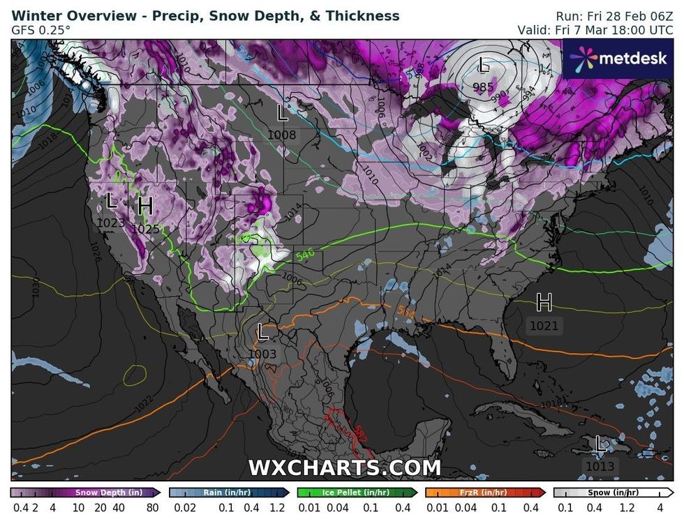
A map of winter weather sweeping America on March 8
WXCHARTS
The north-central US is suffering from the most extreme cold, with wind chills bringing a particular bite.
This is affecting parts of the Dakotas, Montana and Minnesota.
Bismarck, North Dakota, recorded a low temperature of -39C, the coldest day there since January 2009.
Rochester, Minnesota, dipped to -19C, tying a record low for February 18.
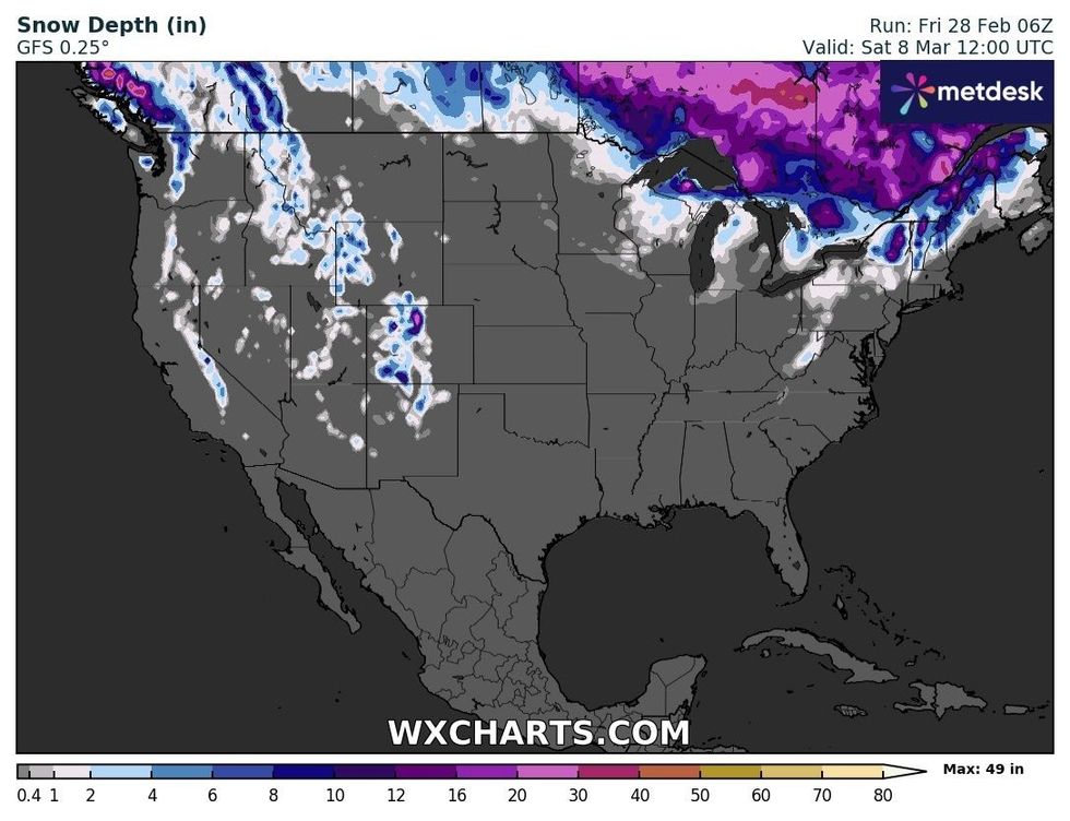
Snowfall on March 8
WXCHARTS
In Dallas, it felt like -1C, while Dodge City, Kansas, experienced wind chills of -26C.
Parts of Texas could face cold rivalling the infamous Texas freeze of 2021.
A strong polar vortex favours a strong jet stream, which drives weather systems from the Atlantic towards the UK.
When the polar vortex weakens, the jet stream also tends to weaken and become distorted.
The Met Office claims that jet streams bring westerly winds, giving us our mild, damp climate in a typical winter.
However, a stronger jet stream typically brings stormy and very wet weather.
A weaker jet stream allows for more frequent spells of northerly or easterly winds to affect the UK.
These winter winds bring very cold air from the Arctic and continental Europe.
Most read


More


