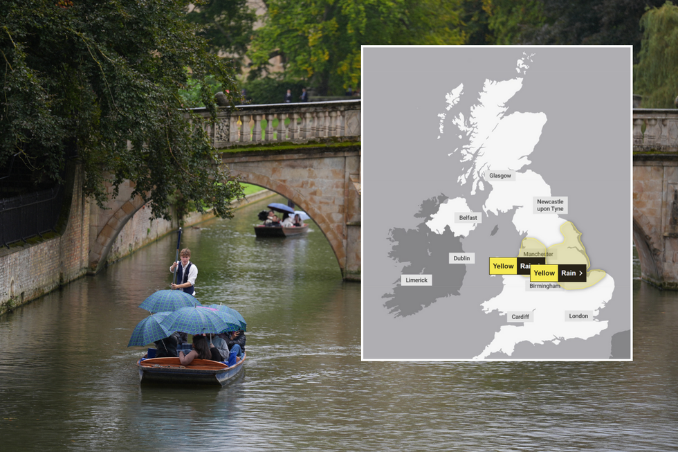
Met Office weather warnings remain in place as heavy rain to lash flooded Britain
Heavy rain is expected to cause some flooding and disruption in places through the rest of the day
Don't Miss
Most Read
Trending on GB News
Heavy rain continues to batter Britain as the Met Office issues fresh weather warnings for Monday.
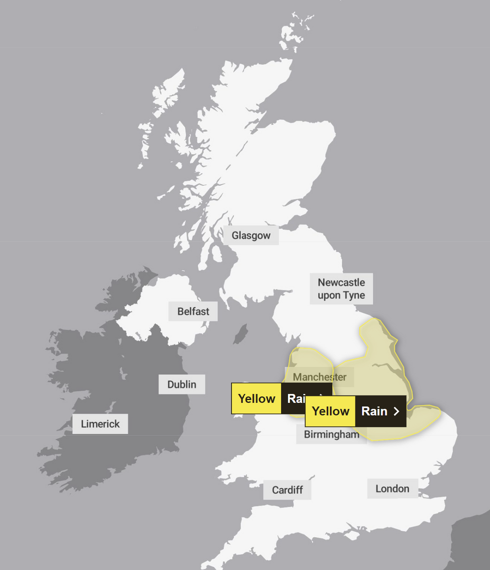
Yellow alerts are in place across several regions, with forecasters predicting up to 60mm of rainfall in some areas, with North Wales and northwest England expected to bear the brunt of the downpours, while eastern England faces potential flooding.
The warnings come as parts of the country are still recovering from last week's deluge, which saw some counties receive more than 250 per cent of their average September rainfall.
Commuters are advised to prepare for travel disruption, with spray and flooding likely to affect road, bus, and rail services.

Heavy rain is expected to hit large part of the UK
PA
The Met Office has issued specific yellow warnings for several areas. North Wales and northwest England are under alert till 8pm on Monday, with 20-40mm of rain expected widely and up to 60mm possible in some places.
Eastern England faces a warning from 8am Monday to 3am Tuesday, with similar rainfall predictions.
Met Office meteorologist Liam Eslick said: "We are expecting some pretty heavy persistent rain across North Wales and northwest England."
The Environment Agency had 33 flood warnings and 67 flood alerts in place across England on Sunday afternoon, indicating a high risk of flooding in many areas.
LATEST DEVELOPMENTS:

Yellow warnings have been issued
Met Office

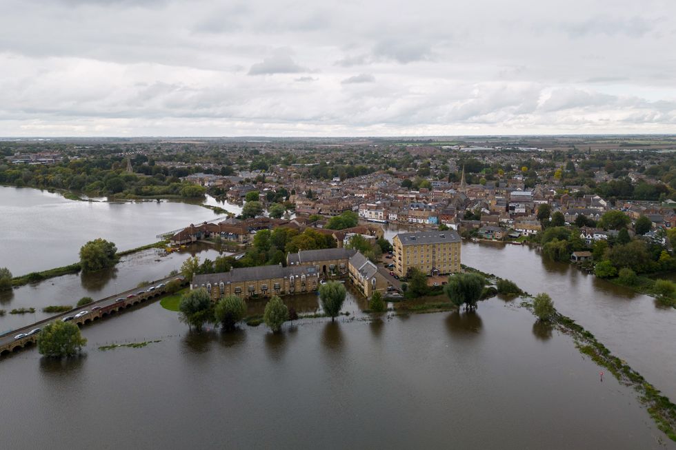
Flooding around St Ives in Cambridgeshire after the River Great Ouse
PA
Mark Garratt, flood risk manager at the Environment Agency, warned of surface water flooding risks across large parts of southwest and southern England, spreading into the Midlands.
He urged caution, saying: "It is especially important that people not drive through flood water – it is often deeper than it looks and just 30cm of flowing water is enough to float your car."
Environment Agency teams have been checking flood defences and clearing storm drains. The public is advised to monitor flood risks and sign up for free flood warnings.
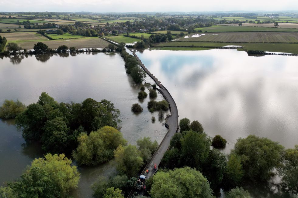
About 650 properties were flooded in Bedfordshire, Northamptonshire and the home counties last week, with an estimated 8,200 properties protected.

Workers close Carlton Road in Harrold, Bedfordshire
PA
Looking ahead, conditions are expected to improve from Tuesday night. Met Office meteorologist Liam Eslick said: "Come Tuesday night into Wednesday we're starting to see higher pressure, so turning a lot drier and plenty of sunny spells."
However, the respite may be short-lived. Eslick added that another low pressure system could bring unsettled weather by the weekend, though forecasters are still monitoring the situation.
Temperatures are predicted to remain below average for late September and early October, with highs only reaching the low double figures in most areas.


