Met Office warns area of low pressure set for 'explosive' growth as storm to batter Britain
Britons are being warned about a spate of stormy weather this weekend as low pressure is set to 'explosively' deepen
High winds are expected across the whole of Britain on Sunday
Don't Miss
Most Read
Trending on GB News
Britons are being warned about a spate of stormy weather this weekend as low pressure is set to "explosively" deepen.
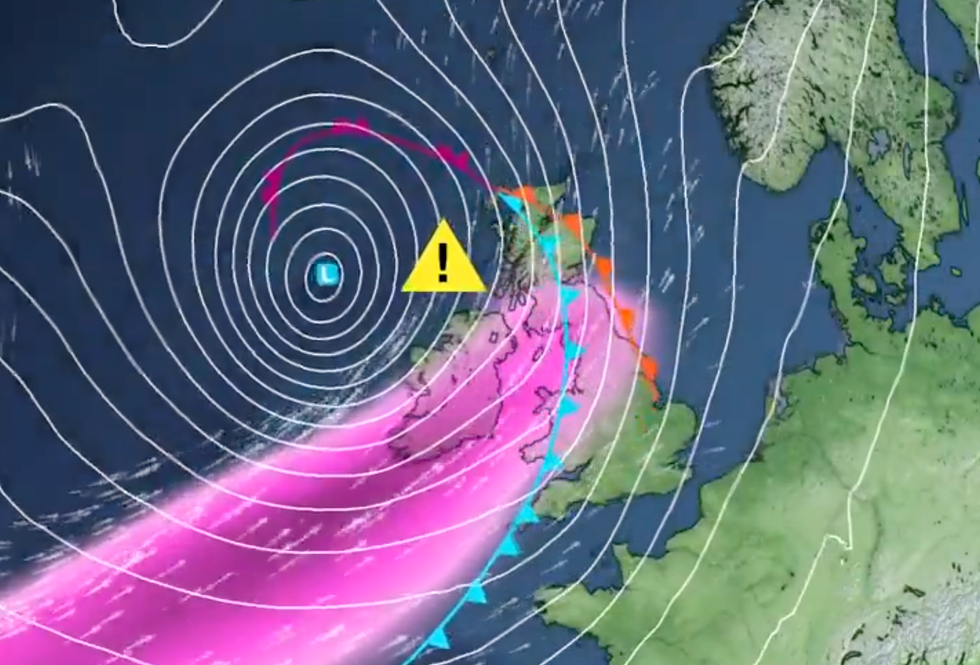
A low-pressure system is expected to encounter jet stream winds nearing 200mph on Saturday as it moves across the Atlantic.
According to the Met Office, the system will rapidly intensify in a process called "explosive deepening" as it approaches the UK and Ireland on Sunday.
Forecasters warn that this could result in damaging winds, particularly in northern and western regions from Sunday and possibly extending into Monday.
 Britons are being warned about a spate of stormy weather this weekend as low pressure is set to 'explosively' deepenMet Office
They have advised that the strong winds could cause disruptions, urging motorists to exercise caution due to potentially "hazardous" driving conditions.
High winds are expected across the whole of Britain on Sunday.
A yellow weather warning for wind has been issued, starting from 3am on Sunday and lasting until midday on Monday.
There is a heightened risk of disruption across areas of Scotland, Northern Ireland, North West England, and North West Wales during this period.
LATEST DEVELOPMENTS:
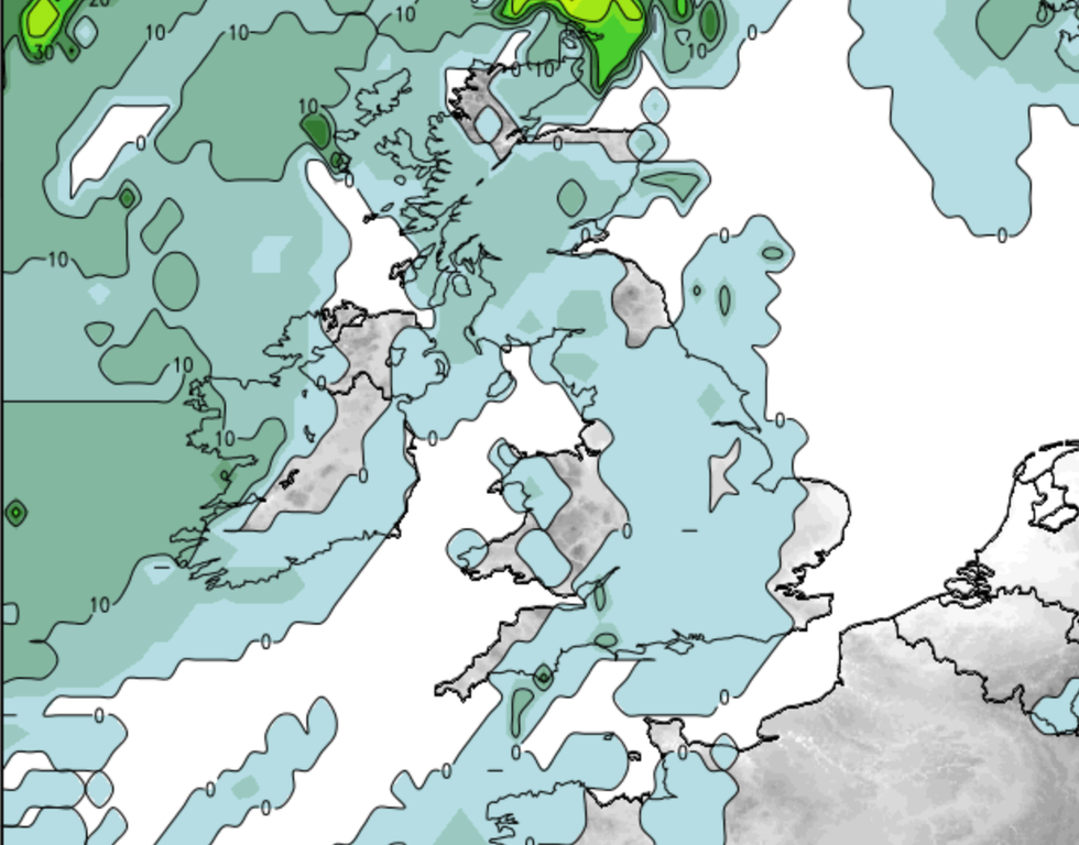
The weather agency added that strong south to south-easterly winds are expected to develop on Sunday morning, with gusts reaching 50-60 mph in some inland areas, particularly in Northern Ireland and western Scotland.
Gusts along exposed coasts and hills could potentially reach 60-70 mph.
Later in the day, winds are likely to shift to a south-westerly direction, with especially strong gusts possible in western Scotland during Sunday afternoon and evening.
In exposed areas, gusts could reach 70-80 mph, while more widespread gusts of 55-65 mph are expected across other parts of the warning area.

The Met Office said that strong south to southeasterly winds are expected to develop on Sunday morning, with gusts reaching 50-60 mph in some inland areas, particularly in Northern Ireland and western Scotland
Net Weather
Tony Wisson is a Deputy Chief Meteorologist at the Met Office and said: "This low-pressure system is not expected to develop until Friday near the coast of Canada, so at this stage there is still a lot of uncertainty about the strength and track of this system as it interacts with the jet stream over the weekend.
"It’s likely that parts of Ireland will see impacts from this before the UK though."
He added: "These strong winds in conjunction with high spring tides, may cause some disruption.
"It’s likely that Sunday’s wind warning will be updated and refined as confidence increases, and more warnings for the rainfall that is expected is likely. It is therefore important people stay up to date with the latest forecast."


