


The Met Office has issued a yellow weather warning for snow and ice across parts of northeastern England this weekend, stretching from Newcastle to Bradford.
The warning will be in force from 6am until 2pm on Saturday, with forecasters warning of potentially hazardous conditions.
The UK Health Security Agency (UKHSA) has also issued a cold weather alert covering parts of North East England, Yorkshire and the Humber.
The icy conditions are expected to have minor impacts on health and social care services, with vulnerable people particularly at risk, according to the UKHSA.
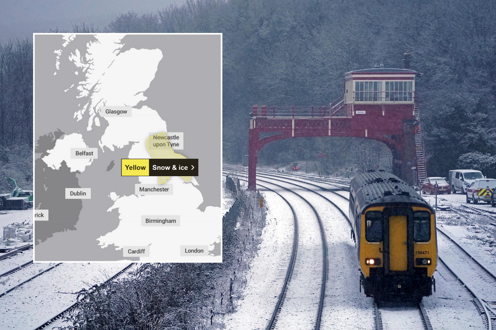
The yellow warning is in place for this weekend
PA/Met Office
Met Office chief meteorologist Matthew Lehnert said 2 to 5cm of snow is possible over the Cheviots and North York Moors, with localised accumulations also possible at lower levels. Snow is more likely to occur east of the Pennines, particularly above 150 metres.
Cold temperatures are set to persist across the UK this weekend, with heavier rain forecast in southern Wales and southwestern England.
"We do see some change in our weather through the weekend, with rain in the West and the chance of snow further east over higher ground on Saturday," said Met Office Deputy Chief Meteorologist Mike Silverstone.
A rare weather phenomenon known as freezing rain is possible over areas above 200m in the Pennines, the Met Office has warned.
LATEST WEATHER NEWS
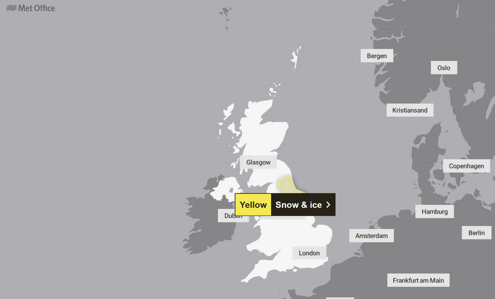
The warning is in place for Saturday
Met Office
Freezing rain, which is more commonly known as ice storms in North America, occurs under specific atmospheric conditions.
It begins as sleet or hail high in the atmosphere, then melts as it falls through a warmer air layer, before refreezing again through a layer of colder air near the surface.
The rainfall becomes "supercooled" as it falls through these varying temperatures, creating potentially hazardous conditions, particularly on roads and pavements.
"The cold air will once again push in from the east on Sunday, covering much of the UK by Monday," warned Met Office Deputy Chief Meteorologist Mike Silverstone.
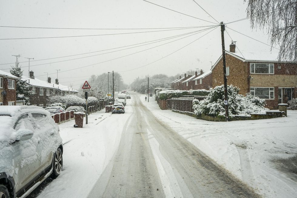
Amber and yellow warnings have been in place for snow across the UK this year
GETTYHe added that low overnight temperatures with further frosts are likely, though conditions will remain mostly dry with little chance of further snow.
"We expect to see some brighter conditions by Tuesday before more mobile and mild conditions move in from the Atlantic during the second half of next week," Silverstone said.
The Met Office forecasts largely cloudy, cold and fairly breezy conditions with outbreaks of rain for Saturday. Motorists have been urged to take extra precautions when travelling during these weather conditions, with the Met Office warning of potential traffic delays.
Pedestrians are being urged to use pavements along main roads to avoid slipping, while drivers should check for road closures before beginning their journey.
