
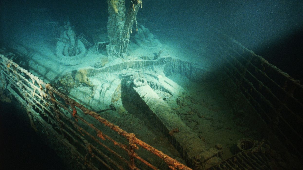


A Titanic mission is set to go ahead in a bid to capture the entire wreck - in the form of a three-dimensional map.
The expedition will involve the shipwreck being scanned, which will create millions of high-resolution images to generate the most detailed photo record ever.
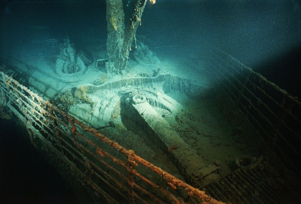
RMS Titanic Inc - the only firm with salvage rights to the wreck - will carry out the mission.
It will involve two, six-tonne vessels travelling 2.4 miles beneath the North Atlantic Ocean's surface.
 A Titanic mission is set to go ahead in a bid to capture the entire wreck - in the form of a three-dimensional map | Getty
The crafts, fitted with optical cameras, lights and sensors, will spend 20 days around the wreck.
In 1912, the Titanic sank after hitting an iceberg - resulting in the loss of 1,517 lives.
The expedition will be the first commercial voyage to the Titanic since the OceanGate tragedy.
RMS Titanic Inc’s research director, Paul-Henri Nargeolet was among those who died when the submersible imploded.
LATEST DEVELOPMENTS:
A plaque will be laid at the wreck during the mission in honour of Nargeolet.
The firm has removed more than 5,000 objects from the wreck but said it acknowledges that the ship is a gravesite for those who died.
"We get that and understand it," James Penca, a researcher with RMS Titanic Inc, told the BBC.
"We dive to Titanic to learn as much as we can from her. And like you should with any archaeological site, we do it with the utmost respect. But to leave her alone, to just let her passengers and crew be lost to history, that would be the biggest tragedy of all."
RMS Titanic Inc - the only firm with salvage rights to the wreck - will carry out the mission
|Getty
It is hoped that a more detailed map of the whole debris will help the site become better recorded.
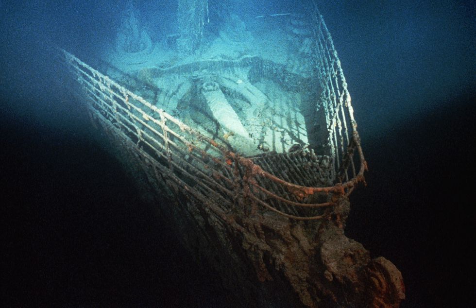
Following the tragedy, the bow and the stern which now lie 660 yards apart on the ocean floor after snapping apart, have been much more documented.
Evan Kovacs, who is leading the imaging team, said: "If all of the weather gods, the computer gods, the remotely operated vehicle gods, the camera gods — if all those gods align, we should be able to capture Titanic and the wreck site in as close to digital perfection as you can get.
"You would be able to quite literally count grains of sand."