


Scientists have created a new 3D map of "mega ripples" on the seafloor caused by the Chicxulub asteroid impact that wiped out the dinosaurs.
The study, published in the journal Marine Geology, reveals the forces generated by the space rock that triggered a global tsunami 66 million years ago.
Researchers found these underwater formations extend across a much larger area than previously thought.
The findings may lead to better understanding of tsunami effects and dangers from asteroid impacts.
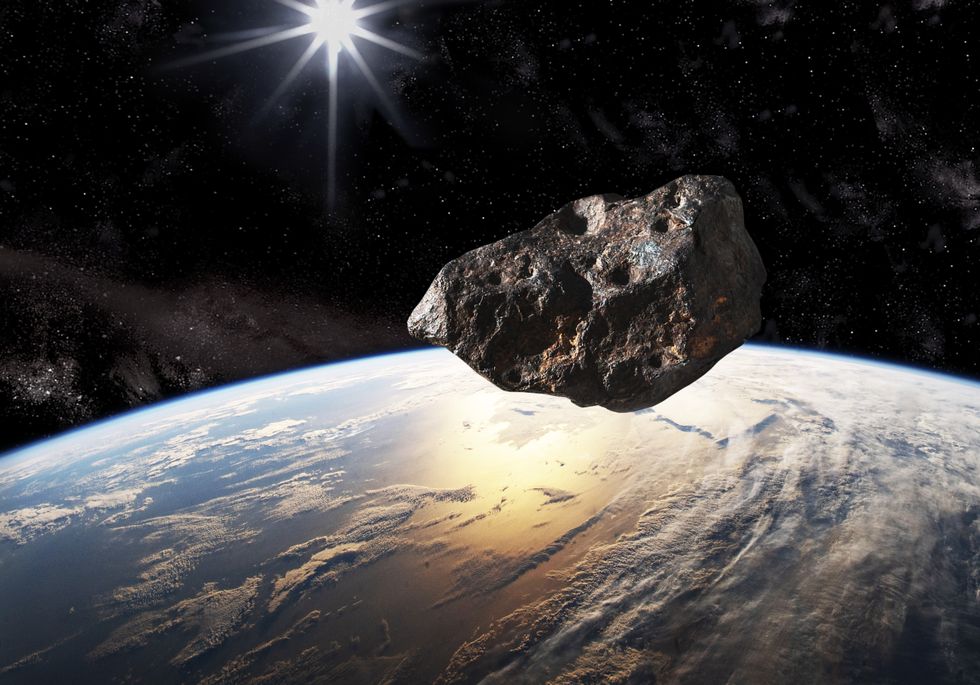
Scientists have created a new 3D map of 'mega ripples' on the seafloor caused by the Chicxulub asteroid
Getty
These mega ripples can reach heights comparable to a five-story building, creating massive underwater formations.
Scientists discovered these unique geographical formations underground in Louisiana at depths up to 1.5km below the surface.
The 3D map spans an area of over 2,400 square kilometres, revealing the extensive impact of the tsunami.
Unlike conventional ripples formed by sea waves moving sand particles, these megaripples formed differently.
SPACE LATEST:
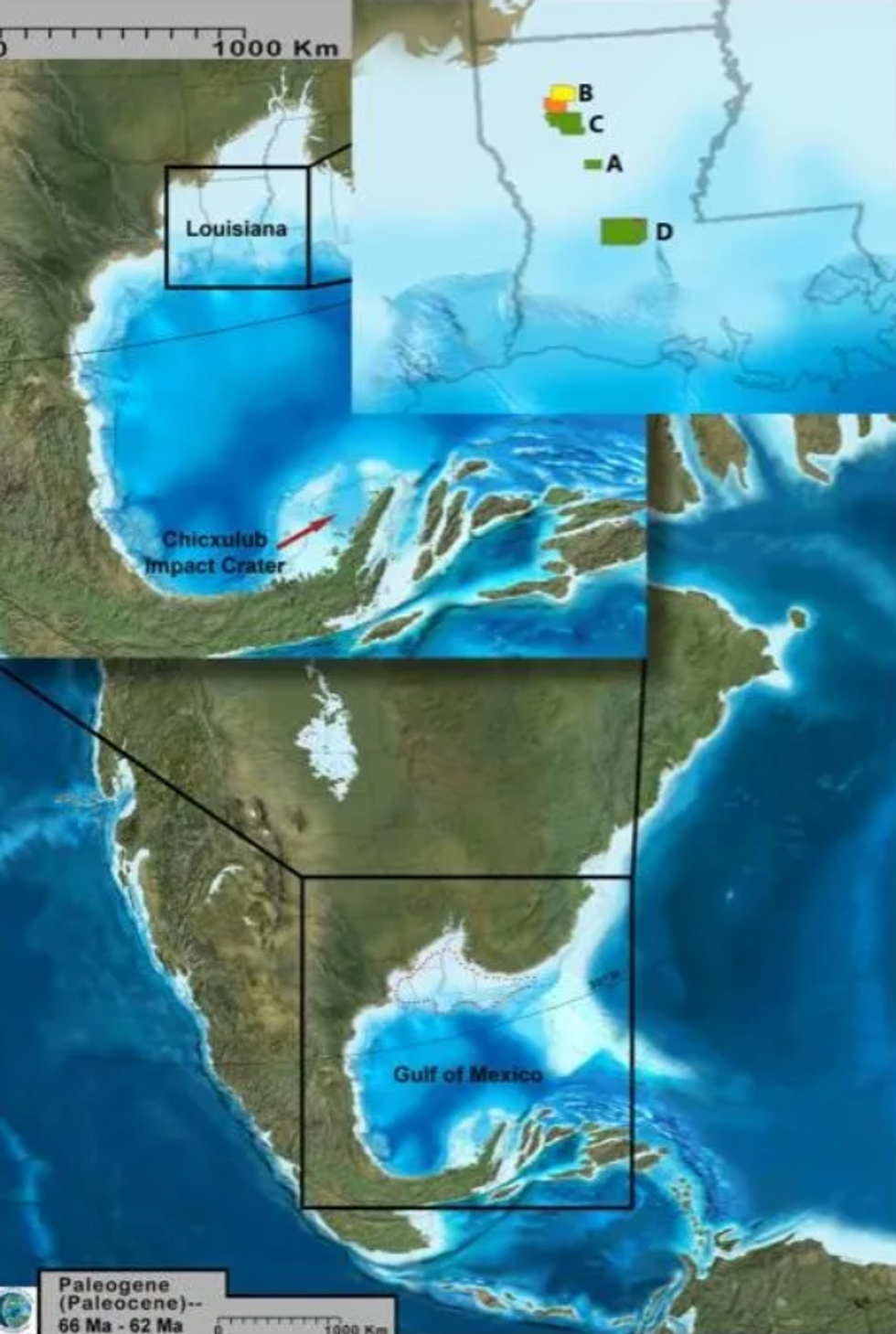
Map showing the locations where researchers identified megaripples using seismic surveys
Gary Kinsland
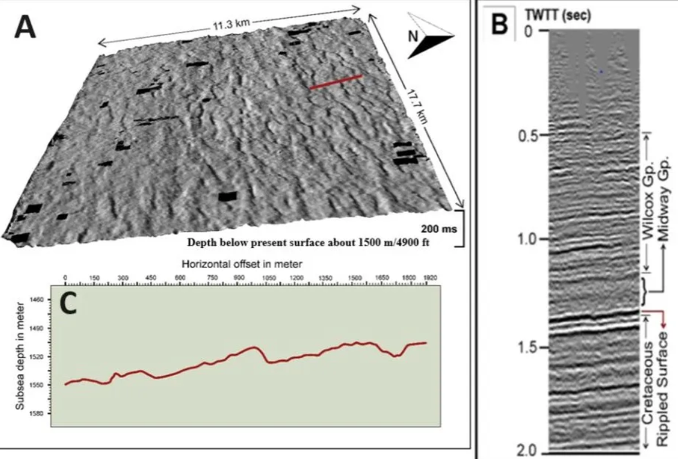
Illustration showing the topography of a megarippled surface
Gary Kinsland
Researchers believe an earthquake following the asteroid impact first fluidised a layer of sediment, which was then shaped by high-speed tsunami waves.
The map reveals that the long, asymmetrical sides of these fossil ripples point south-southeast.
This directional evidence confirms the tsunami's source at the tip of Mexico's Yucatán Peninsula.
"We propose that the megaripples were formed in these muds by fluid traction of the tsunami in much the same way that water waves are formed by the traction of wind," scientists wrote.
Ankylosaurus Dinosaur Footprints in the Rocks in the Wide Toro Toro National Park Valley in Bolivia
Getty
Flash forward to present day, and a different asteroid the size of Big Ben is hurtling towards earth, with Nasa giving the most recent odds for the destructive collision.
The space agency had previously feared the chance of a collision with Earth could reach 20 per cent by April.
Scientists now believe that the rock will sail past our planet with 167,000 miles to spare.
The odds of the asteroid hitting Earth now stand at just 1-in-37,000, dramatically lower than initial estimates.
