


Archaeologists have discovered what could be the world's oldest three-dimensional map, carved into the floor of a rock shelter south of Paris.
The remarkable find, dating back approximately 13,000 years, was revealed in a new study published in the Oxford Journal of Archaeology.
The ancient map was created during the Paleolithic period, also known as the Old Stone Age, which spanned from about 3.3/2.5 million years ago to roughly 12,000 years ago.
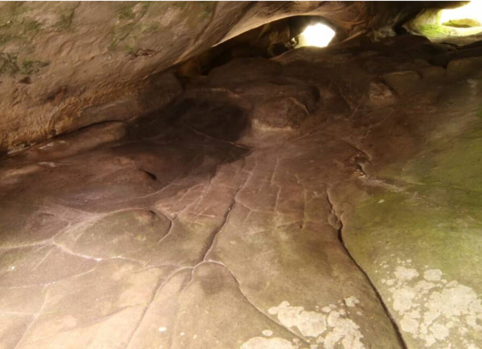
Located in a site called Ségognole 3, the engraved floor represents a miniature version of the surrounding landscape and its water features.
The ancient map was created during the Paleolithic period, also known as the Old Stone Age, which spanned from about 3.3/2.5 million years ago to roughly 12,000 years ago
|Dr Medard Thiry
The rock shelter has been known to archaeologists since the 1980s for its prehistoric artwork.
The site features engravings of two horses positioned on either side of what researchers describe as a "sexual figuration" representing a female pubic area.
These existing artworks had been well-documented, but the latest research has revealed an even more significant feature within the shelter.
The newly identified engraved floor section contains a detailed miniature representation of the surrounding landscape.
The engraved floor was deliberately shaped to mirror the region's natural water flows and geographical features.
"What we've described is not a map as we understand it today — with distances, directions, and travel times — but rather a three-dimensional miniature depicting the functioning of a landscape," explained Anthony Milnes from the University of Adelaide.
LATEST DEVELOPMENTS:

The rock shelter has been known to archaeologists since the 1980s for its prehistoric artwork
|Dr Medard Thiry
The model shows how water runs from highlands into streams and rivers, along with the meeting points of valleys and formation of lakes and swamps.
For Stone Age peoples, understanding water flows and landscape features was likely more crucial than modern mapping concepts like distance and time.
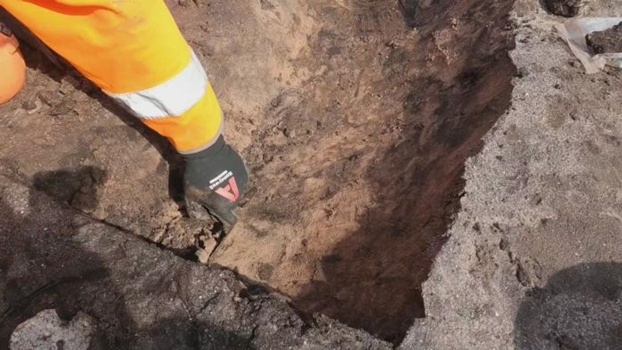
The discovery came after lead researcher Médard Thiry from the Mines Paris - PSL Center of Geosciences spotted several small-scale features that could not have formed naturally.
"Our research showed that Paleolithic humans sculpted the sandstone to promote specific flow paths for infiltrating and directing rainwater, which is something that had never been recognised by archaeologists," said Thiry.
The findings demonstrate remarkable engineering capabilities of our ancient ancestors.
The modifications to the rock shelter reveal that Paleolithic humans deliberately altered the hydraulic behaviour of water both within and around the site.
The researchers suggest these water-related features likely held deeper symbolic meaning for our ancestors.
The hydraulic installations, including both the water flow features and the sexual figuration, are positioned just two to three metres apart within the shelter.
According to Thiry, this careful arrangement likely conveyed "a profound meaning of conception of life and nature."
The true significance of this relationship between the water features and other engravings, however, will remain a mystery to modern researchers.
The discovery represents an exceptional example of how Paleolithic humans understood and represented their environment.