SNOW MAPPED: Exact locations SNOW will fall THIS WEEK – even Devon is facing WHITE OUT
PA
It comes as the country is expecting a wave of freezing fog
Don't Miss
Most Read
Trending on GB News
Snow could strike as far south as Devon later this week as the country braces for a sharp cold spell.
There is a chance of 'wide snowfall' across Scotland and England this weekend ahead of a wave of cold air.
North England and Scotland woke up this morning to snow after temperatures plunged below zero.
The arctic chill is forecast to bring waves of snow and ice to swathes of the UK today with temperatures set to drop even lower with show forecast from Inverness to Ipswich.
WATCH HERE: UK weather outlook
Snow has been settling in northeastern parts of the UK, with the south expected to be struck with snow this weekend
There was 5cm overnight at Fylingdales in the North Yorkshire Moors, 2cm at Aviemore in the Scottish Highlands and 1cm at Albemarle and Bingley.
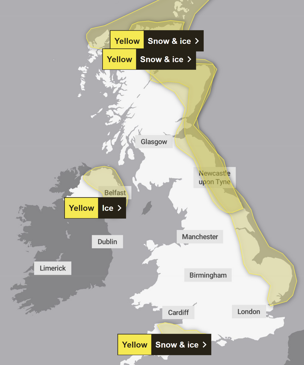
The Met Office has issued two yellow weather warnings - one for snow and ice until 11am today for parts of northern and eastern Scotland, north-east England and Yorkshire.
The second is set until 11am tomorrow for eastern Scotland and north-east England down to North Yorkshire.
LATEST DEVELOPMENTS

The areas impacted by snow and ice on Thursday
Met Office
Up to 10cm of snow could fall over hilly ground in Devon tomorrow, with the yellow weather warning for snow and ice covering the majority of the Eastern coast from Aberdeen to Ipswich.
Some roads and rail services are likely to be impacted, with Britons warned to prepare for longer or delayed journey times on roadways, railways, and public transport.
Those unable to stay home as conditions turn icy and slippery are encouraged to plan their journeys using the relevant traffic websites for Scotland, England, Wales, and Northern Ireland.
However, snow is not expected to linger as ground temperatures usually remain relatively high at this time of year compared to late winter after the ground loses more of its warmth.

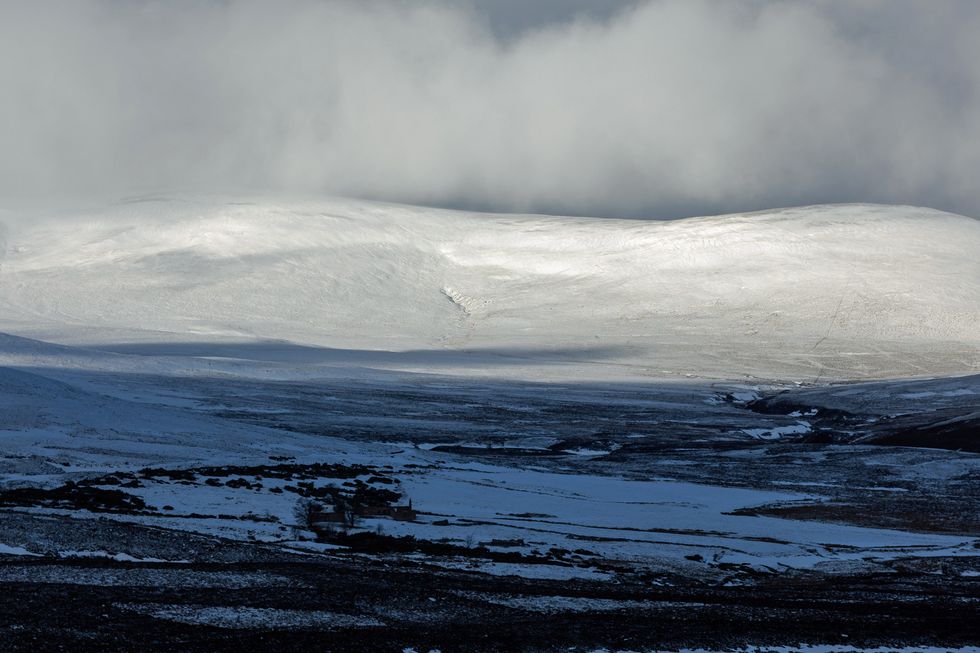
Snow is expected on the Scottish highlands later this week
PA
Met Office deputy chief meteorologist David Oliver said: "The weather models are highlighting several possible solutions from very wet to mainly dry, with a mainly dry picture the most probable outcome at present.
"However, some models include the prospect of an area of low pressure developing and moving in from the south or south-west.
"If this solution proves to be correct, we could see an area of warmer and moisture-laden air 'bumping' into the cold air further north.
"Along the boundary of the two air masses lies a zone across southern and central Britain where snowfall could develop fairly widely."


