US weather: State of emergency declared as 'battle of ice and fire' will ravage America with some of the 'worst winter storms and wildfires in history'

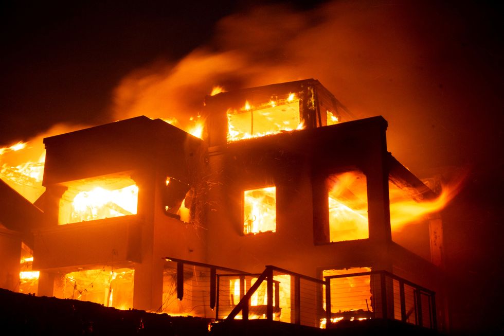
Firefighters battle raging Pacific Palisades wildfire in LA area |
Reuters

Don't Miss
Most Read
A battle of ice and fire will ravage America into the weekend as a ‘bomb-cyclone’ winter storm joins forces with raging Devil-wind wildfires.
State of emergency has been declared across several states as they battle some of the worst winter storms and wildfires in history.
To the east, violent winter storms are driving heavy snow and plunging temperatures while to the west, people are fleeing their homes to escape blazing fires.
The National Weather Service has issued a raft of ‘critical’ warnings spanning the country with dangerous weather expected to continue through the week.

A ‘high-pressure anticyclone’ will thrust powerful inland winds through California fuelling deadly wildfires
|Reuters
A spokesman said: “Storm Watches are being raised as a developing winter storm produces snow and rain or freezing rain.
“Meanwhile, strong high pressure over parts of the Great Basin will set up Santa Ana winds over Southern California.
“Therefore, the Storm Prediction Centre has issued a Critical Risk of fire weather over parts of Southern California where winds could reach 20 to 40 mph.
“Strong winds in the terrain, low relative humidity, and dry ground have contributed to the dangerous conditions.”
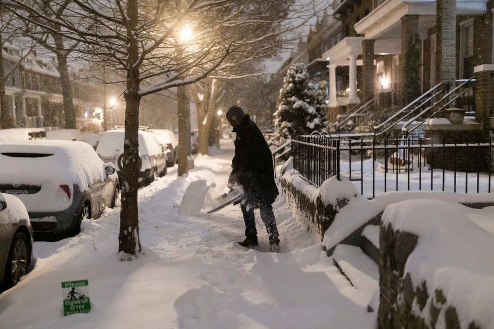
Eastern states reeling from Winter Storm Blair face another bout of freezing misery this weekend driven by a churning ‘bomb-cyclone’.
To the west, a ‘high-pressure anticyclone’ will thrust powerful inland winds through the Golden State fuelling deadly wildfires.
The Santa-Ana winds, also called ‘Diablo’ or ‘Devil’ winds are driven by currents of air gushing from regions of high pressure to low pressure.
As they tumble over high ground and through narrow ground passages, they speed u and warm to fuel smouldering wildfires.
LATEST DEVELOPMENTS:

Eastern states reeling from Winter Storm Blair face another bout of freezing misery this weekend driven by a churning ‘bomb-cyclone’
|Getty
Weather Channel meteorologist Chris WeWeese said: “As much of the country takes a breath from Winter Storm Blair and prepares for the next winter storm, the west is bracing for a different danger in the form of Santa-Ana winds.
“A high-pressure system over the mountain West is expected to lead to a wind event in Southern California with the capacity for gusts of 80 mph or even higher.
“This is an unusually strong Santa Ana wind event for some areas in Southern California and it could down trees and knock out power.
“If you or your loved ones live there, make sure to keep track of the forecast.”
A tussle between high and low pressure will keep the wildfire threat alight up to the weekend.
It is ‘yet another weather danger’ to strike after weeks of torrential rain gave way to one of the worst winter storms since 2015.
Jim Dale, US meteorologist for British Weather Services and co-author of ‘Surviving Extreme Weather’, said: “This threat is going to last for at least another 36 hours, as high pressure persists, driving these winds through western regions, particularly California.
“It is the speed of these winds and their dry nature that makes them dangerous, as they fall over high ground and through built-up areas.

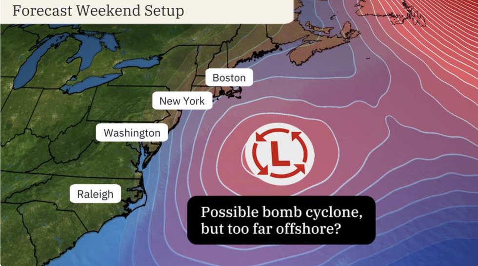
It will be driven by a low-pressure system deepening rapidly by ‘explosive cyclogenesis’ into a so-called ‘bomb cyclone’
|The Weather Channel
“With this will be the risk of wildfires, fuelled by strong desert winds, and this provides another example of the dangerous nature of our changing climate.”
Meanwhile, another winter storm is gathering strength to hammer central and eastern coasts at the end of the week.
It will be driven by a low-pressure system deepening rapidly by ‘explosive cyclogenesis’ into a so-called ‘bomb cyclone’.
Swathes of the region including Texas, Oklahoma and Tennessee, are on alert for another six inches of snow.
Weather Channel meteorologist Jonathan Erdman said: “This weekend, the low-pressure system will move into the western Atlantic Ocean.
“It's here where the low could intensify rapidly into a bomb cyclone – an intense, windy area of low pressure.
“Computer-model forecasts suggest that intensification may occur too far off the East Coast for major impacts this weekend, but it's too soon to rule out intensification taking place closer to the East Coast with albeit brief significant impacts this weekend.”


