US weather: 'Parade of storms' set to batter West Coast as 'torrential downpours' set to drench region

WATCH: Jim Dale says "2024 will be just as catastrophe as 2023"
|GB News

The western states of California, Oregon, Washington, Nevada and Idaho will be in the firing line
Don't Miss
Most Read
Latest
A conveyor belt of "atmospheric rivers" carrying a "ton of moisture" hundreds of miles wide threatens a week of floods and mudslides.
A parade of storms lined up to smash western America through the coming days will build to a major mid-week hammering.
Torrential downpours will hit regions drenched from days of rain while snow-laden gusts sweep the hills and mountains.
Heavy rain will pour in from the Atlantic on the back of barrage of "atmospheric rivers", meteorologists warn.

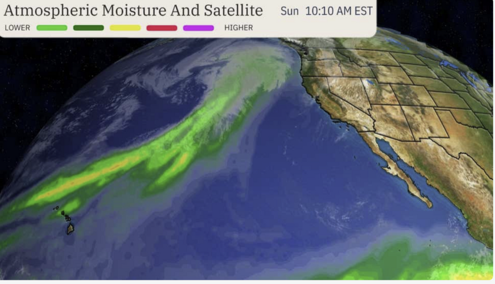
Atmospheric river heads to the US
|The Weather Channel
The huge columns of air swollen with water sweep in from the Pacific before erupting into a torrential deluge.
Weather Channel meteorologist Jonathan Belles said: "Several atmospheric rivers will move through the West by early this week, and the threat for flooding and slides will likely increase this week.
"A more potent storm system may arrive on the West Coast, including much of California, with heavier rainfall and some higher elevation snow in the Sierra Nevada and the Cascades."
Weather Channel meteorologist Ari Sarsalari described atmospheric rivers as a "ton of moisture above our heads".
LATEST DEVELOPMENTS

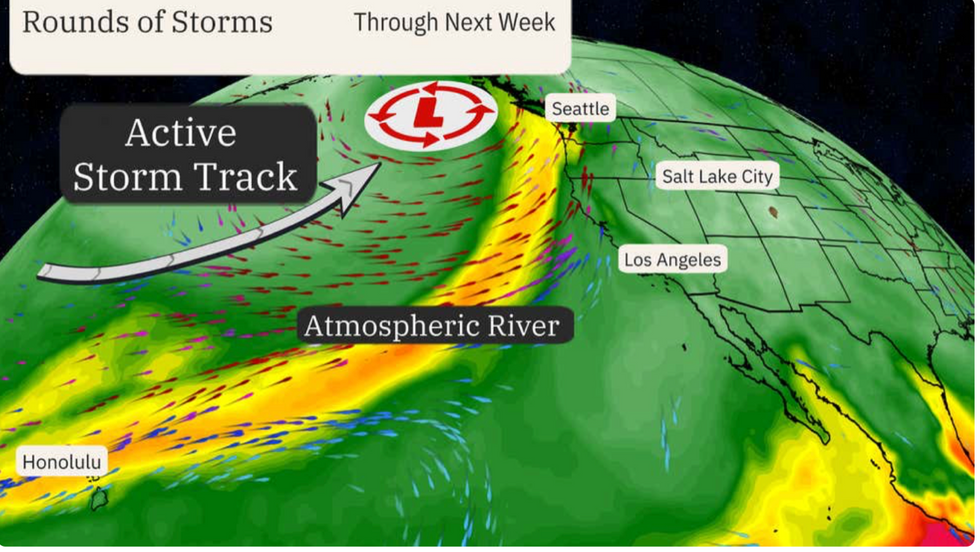
Storms head towards the west coast
|The Weather Channel
He said: "Think about what it looks like when you see a raging river and imaging that that’s going on way up above our heads, and that’s what an atmospheric river is.
"All that moisture doesn’t necessarily make it down to the ground, and when you have storm systems coming through that get the air to rise, that can be a catalyst to take all that moisture, turn it into rain and drop it on wherever that atmospheric river is pointed at. Very often it’s California."
The western states of California, Oregon, Washington, Nevada and Idaho will be in the firing line for the rain at the start of the week before storms head east. The west coast is in the firing line for a more powerful system on Wednesday, bringing the risk of snow to high ground.
Heavy rain will bring an ongoing risk of floods with relentless downpours triggering landslides.
A Weather Channel meteorologist said: "This atmospheric river is being rated as a category-four for portions of the Washington and Oregon coastline. The next system is going to be from Tuesday to Friday, with two to three inches and that is a lot of rain and there is the possibility of flash flooding between Wednesday and Thursday morning.
"The system moves in on Tuesday and Wednesday and it starts to get heavier and heavier."
The highest rainfall is forecast over the northwest Pacific coast with between two and four inches possible.
Across the Cascades and Sierra regions to the west, up to two feet of snow is likely with heavy wintry downpours threatening the Rockies ahead of the weekend.

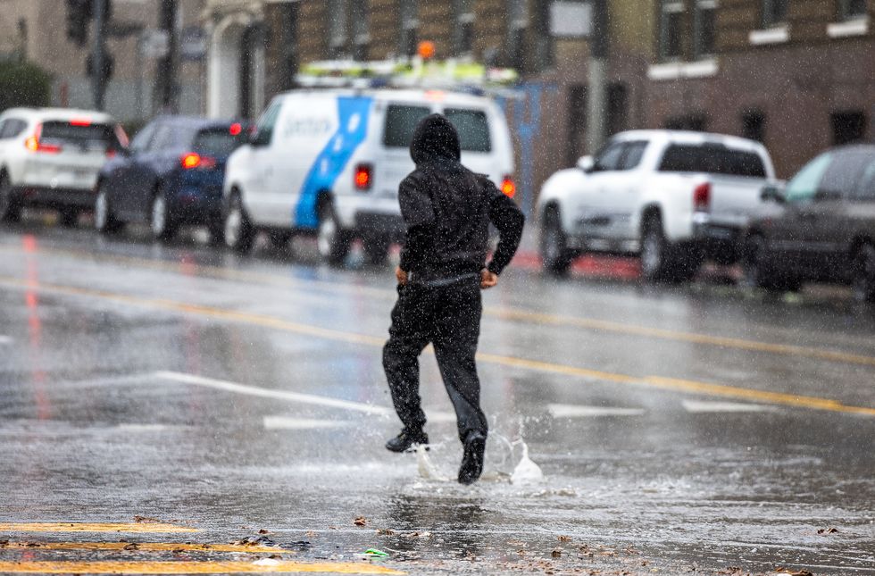
A pedestrian runs through puddles crossing the street amid rain showers in downtown Los Angeles Monday, January 22
|Getty
Meteorologist for British Weather Services and US weather correspondent Jim Dale said: "There is a powerful storm system heading towards the northwest during the middle of the week, bringing a lot of rain.
"This will follow a succession of rain systems coming in through the week, and so there will be a risk of flooding. With that, there is the risk of mudslides."


