
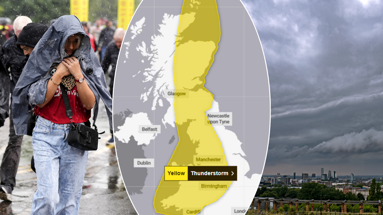


Swathes of the UK have been slapped with a yellow thunderstorm warning, bringing an abrupt end to a recent spell of nationwide balmy weather.
Southeast England had sweltered under a hot spell in which temperatures soared to near 30C in parts of the country - but as September begins, it's a gloomier outlook for millions of Britons.
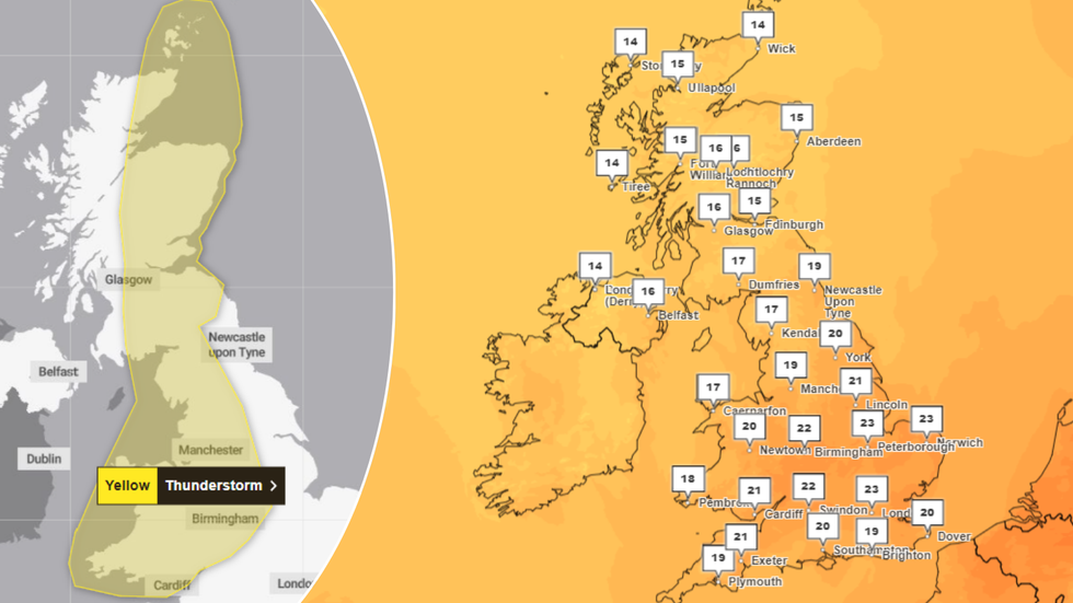
The yellow warning, which began in the early hours of Sunday, covers most of England, Wales, and eastern Scotland - and is set to remain in place until just before midnight on Monday.
Britons have been told to brace for heavy showers, "frequent lightning strikes" and thunderstorms, with meteorologists warning that up to 40mm of rain could fall in just an hour in some areas.
Britons have been told to brace for heavy showers, "frequent lightning strikes" and thunderstorms (file photo)
|PA
Some areas can expect 60-80mm downpours and flash-flooding, while as of Monday morning, 14 flood alerts were in place across England.
Met Office Deputy Chief Meteorologist Dan Harris said: "Through Saturday night and into Sunday we'll see a gradual change in our weather across the UK with an increasing chance of heavy thundery showers developing, particularly across central parts of the UK.
"Not everywhere within the warning area will see thunderstorms, and confidence in any individual location being affected remains extremely low at this time."
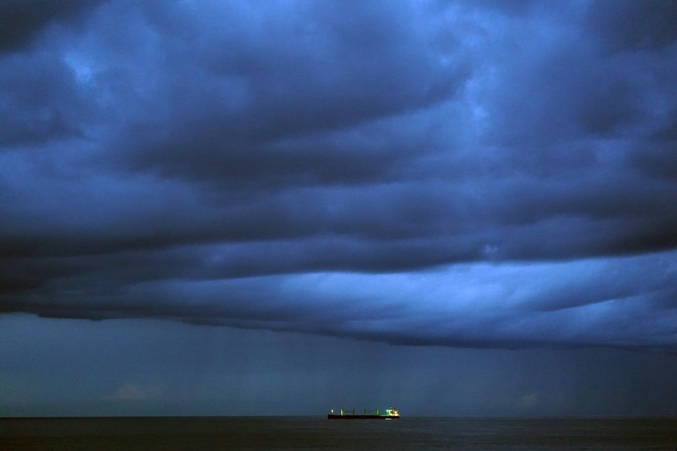
Marco Petagna, a senior operational meteorologist, explained that the thunderstorms are due to low pressure sitting over the UK.
READ MORE WEATHER NEWS:
The storm warnings come despite warm temperatures
|Met Office
He warned of potential flooding, lightning strikes, travel delays, and cancellations - alongside a slight chance of powercuts in some areas.
Looking ahead, the Met Office forecasts lighter, more scattered showers and sunshine for Tuesday and Wednesday.
But from Thursday onwards, thunderstorms are expected to return, particularly in the south of England.
As storms hit, temperatures are set to reach 25C in the southeast on Monday, with cooler conditions expected in the north and west of the country.
Looking even further forward, the Met Office's long-range weather forecast tells Britons to brace for further thunder.
Forecasters say that while Scotland and Northern Ireland can expect drier climes, England and Wales can buckle up for rain, showers and more thunder.
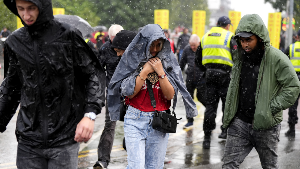
Fans heading to Old Trafford at Sunday were in for a battering... by heavy rain
|PA
The Met Office has also flagged the potential for higher humidity across the south and east, with "potential for some very warm conditions".
It continues: "Little overall change is anticipated into the following week, with central and southern areas most prone to rain or showers at times, while it tends to be somewhat drier in the far north."
This comes as yesterday saw a hot spell in many parts of the country, with London seeing highs of 29C.