UK weather: Freak winter heat to send temperatures soaring above 20C in just DAYS as tropical African gusts strike Britain
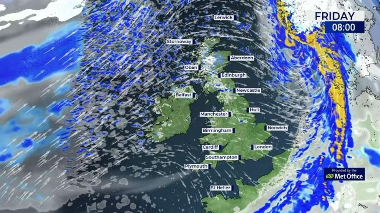
WATCH: The latest forecast from the Met Office for GB News
|GB News/Met Office

However, arctic winds are threatening to return after the weekend
Don't Miss
Most Read
Tropical gusts wafting out of Africa later this month promise to crank up the heat for an early taste of summer.
Late winter records are under threat with the ingredients in place to drive "incredible temperatures" towards the end of February.
The warm-up will be powered in part by freakish winter heat currently roasting the Continent and North Africa.
However, in the meantime, sun-starved Britons face another cold snap with Arctic winds threatening to return after the weekend.
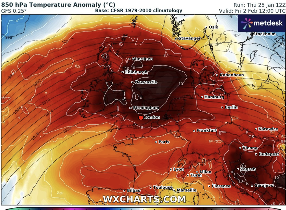
The warm-up will be powered in part by freakish winter heat currently roasting the Continent and North Africa
|WXCharts.com
A tussle weeks between sub-tropical air currents and the Polar vortex–cold air around the North Pole– will trigger wild swings between hot and cold over the coming weeks.
Meteorologist for British Weather Services Jim Dale said: "If we look at the temperatures across North Africa and the Mediterranean, which are currently much higher than normal, I expect to see some of that feeding in our direction during February.
"With a possible airflow out of Africa, we should not be surprised to see some quite incredible temperatures during the end of winter and the start of spring.
"But that is not to say that these warmer periods won’t be quickly blown away by Polar air, pushing the temperatures back into low single figures."
LATEST DEVELOPMENTS
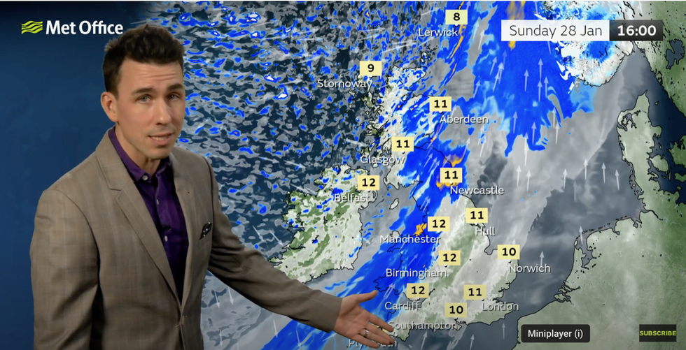
Met Office meteorologist Aidan McGivern on the latest forecast for the weekend
|GB News/Met Office
Temperatures later this month could rival the February record of 21.2C set in Kew, London, in 2019, he said. But a battle between the Arctic, which threatens colder weather mid-month, and sub-tropical winds from the south will keep the risk of a sudden cold snap, he warned.
Social commentator Dale said: "The sub-tropics could bring us highs of up to 21C, similar to 2019 when it was like walking around in the middle of summer. So, the picture for the end of winter and going into spring is likely to be for a tendency to see periods of much warmer-than-average temperatures, but with that risk of the cold coming back with a vengeance."
The warm end to winter will be boosted by a cocktail of meteorological drivers including currents of air from the Continent, a general trend of global warming, and a powerful El Nino, he added.
El Nino, which set in last summer, caused sea temperatures around South America to rise–a phenomenon which can affect weather patterns around the world. The cheery forecast comes after a brutal winter of savage cold snaps and Atlantic storms, with 10 named tempests hitting the UK since September.
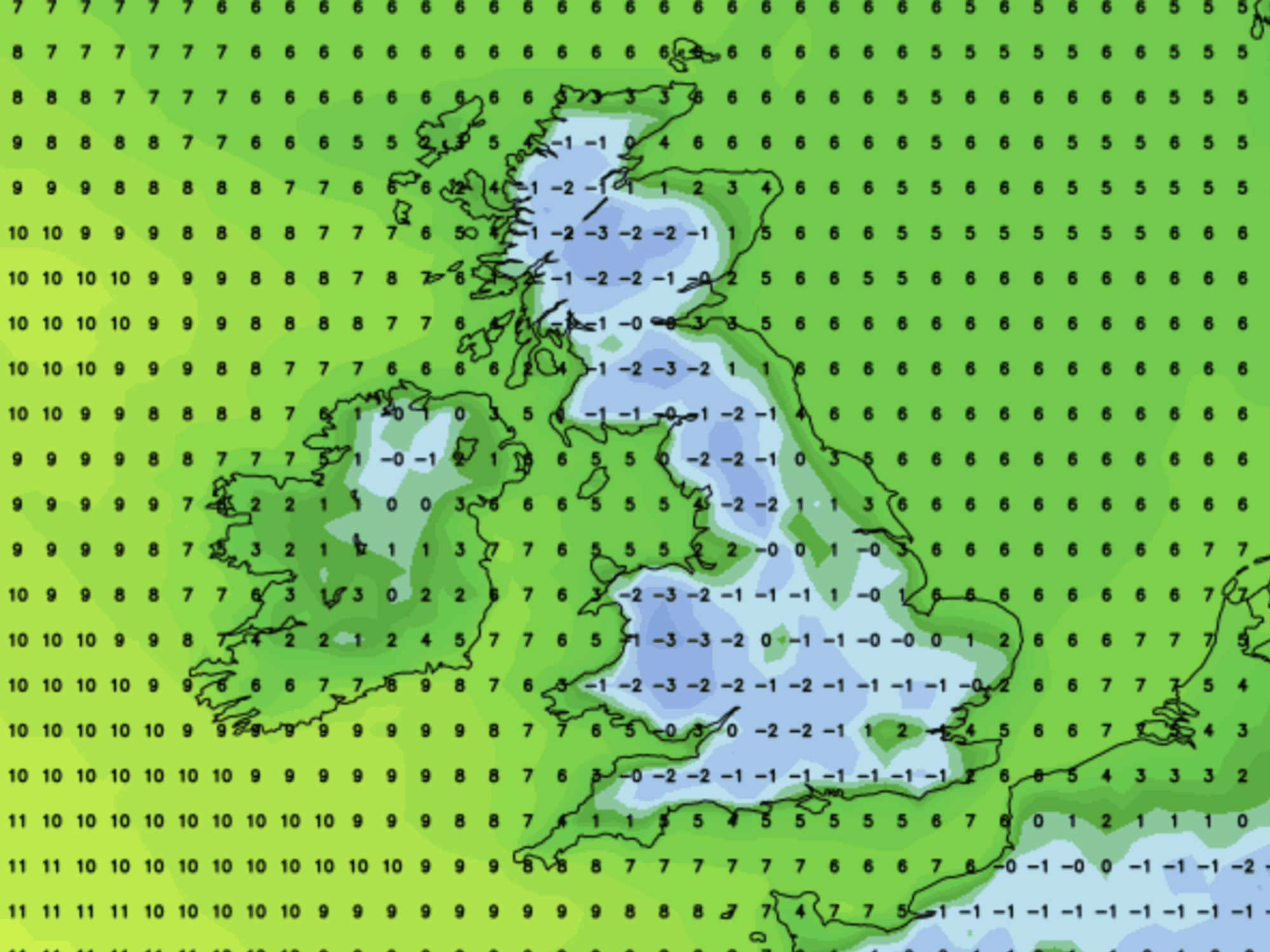
Some forecasters warn the nation is braced for another cold snap to push temperatures back into minus figures at the start of February.
Exacta Weather’s James Madden said: "We could see an incursion of colder conditions from this weekend and towards the end of the month.
"This would see the snow risk and colder weather conditions starting to return to the within this period."
Meanwhile, after the recent run of storms, much of the UK is looking forward to a spell of calmer weather. However, rain and gusty winds will hit Scotland and northern England with the rest of the country turning unsettled into next week
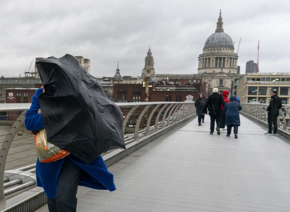
Winds are set to return to the UK next week
|PA
Met Office meteorologist Aidan McGivern said: "After a stormy start to this week, we end the week with plenty of sunshine. There will be some bouts of wet and windy weather through northern parts of the UK through the weekend.
“But many places will be dry through Saturday, with some decent sunshine for the Midlands and southern and south-eastern England. Temperatures will be a little above average for the time of year.”
Wet and windy weather will turn more widespread at the end of the weekend with much of the UK turning cloudy, he added.


