UK weather warnings upgraded: Storm Babet sparks carnage with dangerously high winds and 'extensive floods'

Britons have been urged to brace for disruptive rain and strong winds as Storm Babet hits the UK over the coming days
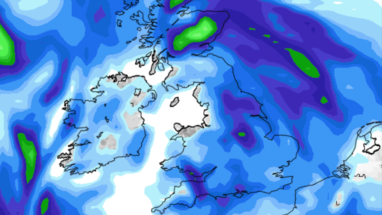
|Net weather

Forecasters expect rain to become heavy and persistent from Thursday
Don't Miss
Most Read
Britons have been urged to brace for disruptive rain and strong winds as Storm Babet hits the UK over the coming days.
An amber weather warning has been issued by the Met Office with rainfall set to move in from the south and west, causing chaos across Northern Ireland and much of England and Wales.
Forecasters expect rain to become heavy and persistent from Thursday through to Saturday across central and eastern parts of Scotland.
A severe amber weather warning remains in this area where up to 150-200 mm of rain could build up.
WATCH NOW: GB News weather forecast
A yellow weather warning for rain has been issued across north and east England with prolonged and potentially disruptive rainfall.
Weather experts warn that strong southeasterly winds will also cause dangerous conditions along the east coast of the UK.
Gusts could reach up to 70mph in eastern and northern Scotland from Thursday.
Met Office Deputy Chief Meteorologist Tony Wardle said: “Storm Babet will bring disruption for parts of the UK in the coming days, with heavy rain and strong winds likely for many.
“Heavy and persistent rain will fall onto already saturated ground bringing a risk of flooding. It is important to stay up to date with warnings from your local flood warning agency as well as the local authorities.
LATEST DEVELOPMENTS:
“As well as heavy rain, Storm Babet will bring some very strong winds and large waves near some eastern coasts too.
"Gusts around 70 mph are possible in eastern and northern Scotland from Thursday. Met Office warnings will continue to be reviewed as the forecast develops.”
People across the UK have also been urged to be prepared for potential flooding.
David Morgan, Flood Duty Manager for the Scottish Environment Protection Agency (SEPA), said: “Storm Babet will bring heavy rain and high winds across Scotland from Wednesday evening, starting in the southwest before moving across to the northeast through Thursday and into the weekend.

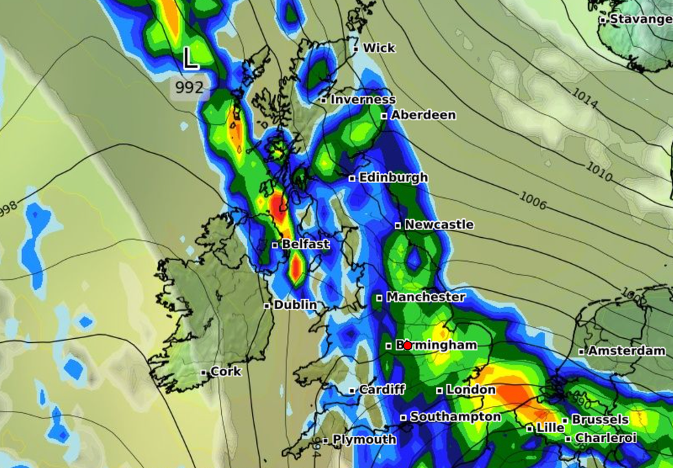
Forecasters expect rain to become heavy and persistent from Thursday through to Saturday across central and eastern parts of Scotland
|WXCHARTS
“Impacts from surface water and rivers are likely, and with catchments saturated from recent heavy rain and flooding, we’re urging people to be prepared for potential flooding.
"There is also concern that surface-water flooding may be exacerbated by debris blocking drainage, culverts, etc. as a result of the high winds."
Met Office forecasters say low pressure is forecast to remain in charge of the UK’s weather into the start of next week, with potential for further spells of wet and windy weather.


