UK weather: Snow and freezing cold to trigger New-Year 'fog out' for Britain

Weather journalist Nathan Rao outlines the weather warnings in place across the country
|GB News

As parts of the country reel from the weekend snow blitz, warnings have sounded for a fresh threat
Don't Miss
Most Read
Latest
Britain is facing a New-Year ‘fog-out’ as freezing temperatures trigger a smoggy ‘atmospheric inversion’.
As parts of the country reel from the weekend snow blitz, warnings have sounded for a fresh threat.
Dense fog, similar to the swirling mists that caused mayhem after Christmas, could be about to return.
Lying snow and temperatures diving to -10C across northern Britain will be the main driver.
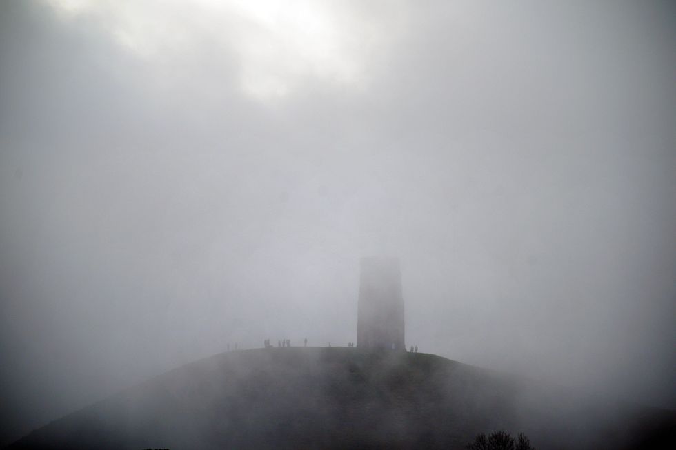
Britain is facing a New-Year ‘fog-out’
|PA
Jim Dale, meteorologist for British Weather Services, said: “With snow on the ground and the recent cold temperatures, we are looking again at the risk of fog which could be widespread.
“This will be a risk through the latter part of the week, especially over snow fields remaining from the wintry weather at the weekend.
“Freezing cold temperatures will hold on at least through the rest of the week, although the snow risk has largely passed.”
Fog will be a growing danger as overnight temperatures sink forming a layer of cold air close to the ground.
Higher up, the air will be warmer, opposed to the usual falling temperatures through the rising atmosphere – a so-called ‘inversion’.
This will bring about ideal conditions for thick swirling mists, raising fears of a repeat of the post-Christmas fog-out.
The UK’s busiest airports were grounded through the end of December with delays and cancellations lasting days.
LATEST DEVELOPMENTS:
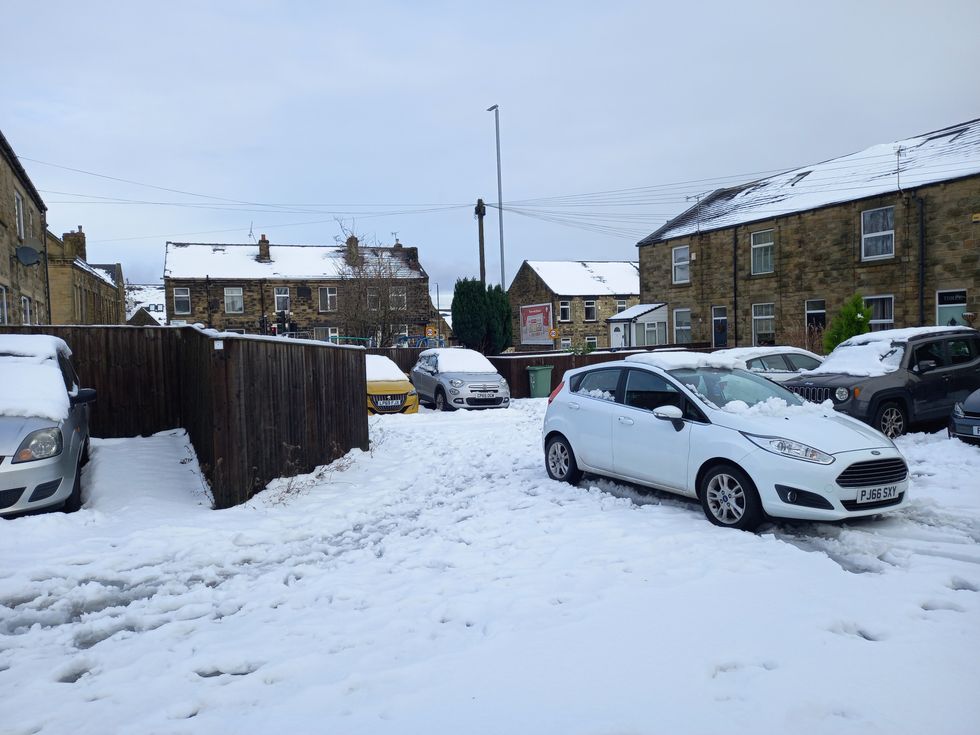
Large swathes of the country have been blanketed by snow in recent days
|PA
Thick fog also caused chaos on the roads, reducing visibility to just 100 metres in the worst-hit areas.
Mr Dale, said: “Fog can form quickly and unexpectedly, so this is something we will need to be on alert for as temperatures fall sharply overnight.”
As parts of the country thaw from the weekend freeze, further wintry downpours this week are forecast elsewhere.
More than an inch of snow carpeted northern England at the weekend while heavy rain and sleet pelted the south.
Temperatures in parts of the country will take a mild U-turn through the start of the week as warm air floods in from the Atlantic.
As thermometers rise widely, snow met and heavy rain will bring the risk of flooding to parts of the UK.
Sarah Cook, flood duty manager at the Environment Agency, said: “A combination of melting snow and rain may lead to the possibility of some significant river flooding.
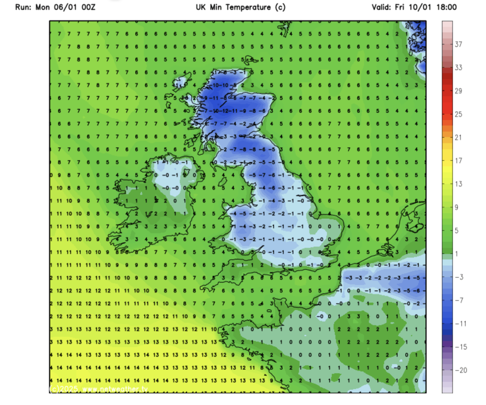
Temperatures will reach as low as -10C
|Netweather
“Environment Agency teams continue to be out on the ground, taking action to reduce the impact of flooding, issuing flood warnings and support those communities affected.
“We advise people to stay away from swollen rivers and urge people not to drive through flood water as just 30cm of flowing water is enough to move your car.”
But after the thaw, the next cold blast may not be far behind, with Britain facing another blast of northerly winds later this week.
Met Office deputy chief forecaster Mike Silverstone said: “Temperatures will remain below average, with widespread frost and the threat of ice at times. Some areas, especially in the north, may struggle to get above freezing for several days.
"There is also the potential for some snow in southern and maybe central parts of England and Wales around the middle of the week, as a system brushes the south, bumping into the cold air.
“This is however still uncertain, and we’ll continue to assess this over the coming days.”


