UK weather: Britain 'more likely' to see snow at Easter time than it is at Christmas, claims forecaster

WATCH NOW: Today's weather forecast
|GB News

The warning comes after an unusually mild February, where temperatures were 4C above the average
Don't Miss
Most Read
Latest
Britons who have had enough of the cold could be in for a chilly surprise this month, as a forecaster has warned that the UK is “more likely” to see snow at Eastertime than it is at Christmas.
The beginning of Spring has brought with it an onslaught of heavy rain, with the most extreme of the downpours expected on March 17.
However, the poor weather could get even worse, with a forecaster from Netweather stating that snow could still rear its head.
Nick Finnis said: “While it turns increasingly mild or warm across SE Europe. But given it will be late March that the blocking looks more likely to develop, the chances for wintry weather will be diminishing.

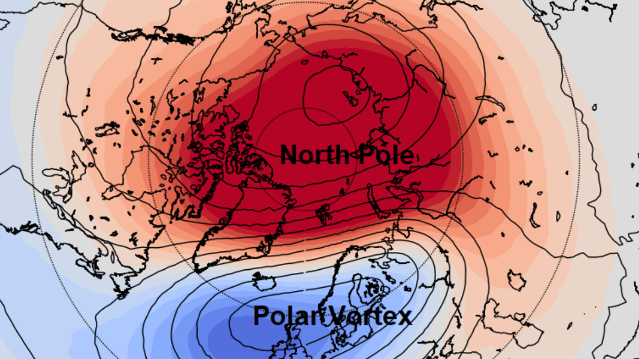
A Sudden Stratospheric Warming (SSW) - a disruption of the normal westerly airflow 10-50km above the Earth’s surface - could account for the chilly Spring
|Netweather
“It is ironically more likely to snow in Easter than Christmas if Easter falls in late March.
He added: "Any gradual warm up towards April may be subject to setbacks, perhaps dramatic, with a cruel reminder of winter not yet done at some point in the coming weeks."
Finnis did however highlight some good news for concerned Britons, conceding that any possible snow will melt quickly due to warmer temperatures: “But snow tends not to hang around as it quickly melts during the day away from higher ground in the north.”
He pinpoints the possible shift to cold weather to a major Sudden Stratospheric Warming (SSW) - a disruption of the normal westerly airflow 10-50km above the Earth’s surface - the third one of the year so far.
WEATHER LATEST:
Finnis said the SSW could "affect weather patterns, increasing chances of high latitude blocking and colder weather in a few weeks or so."
The Met Office has given its verdict in its medium-to-long-range forecast lasting from March 22 onwards.
“During the final third of March and into the start of April, pressure is likely to remain higher than average to the north of the UK. This pattern tends to push the focus of unsettled weather further south than usual, with highest rainfall most likely to be in the south of the UK. Conversely, northern areas tend to be drier compared to normal,” the forecaster said.
It said that there will be “cooler” period as Easter approaches.
Snowfall is expected to fall in northeast Scotland this week, according to maps from the Met Office.

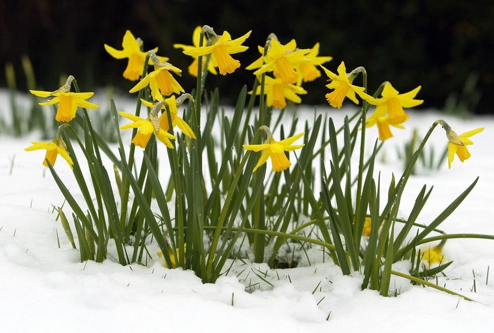
A forecaster from Netweather has stated that snow could still rear its head during Easter
|PA
Last week, the Met Office issued a snow yellow alert for parts of Somerset, Gloucestershire and Worcestershire, which they predicted would lead to “tricky driving conditions in a few places”.
Following the alert, National Highways: South-West also issued an update showing snow covering two motorways via the CCTV traffic cameras.
Finnis’ warning comes after a mild February, with temperatures 4C above the average across much of England, though slightly less so in Wales, Scotland and Northern Ireland.
The average temperature in England for February 2024 was 7.5C, topping the previous record of 7.0C set in 1990.
Describing the month’s weather patterns, Senior Met Office Scientist Mike Kendon said: “February has perhaps been the quietest month of the winter, without any further named storms, whereas Gerrit in December and Henk and Isha in January all caused significant weather impacts.
“Despite a cold spell in the north in the first half of the month, the main theme of February is how persistently mild and wet it has been, particularly in the south and this is largely due to the influence of Atlantic low-pressure systems bringing a predominant mild, south-westerly flow. This mild, wet theme is also true of winter overall.”


