UK weather: Parts of England and Scotland to see snow next week as mercury plunges to -4C
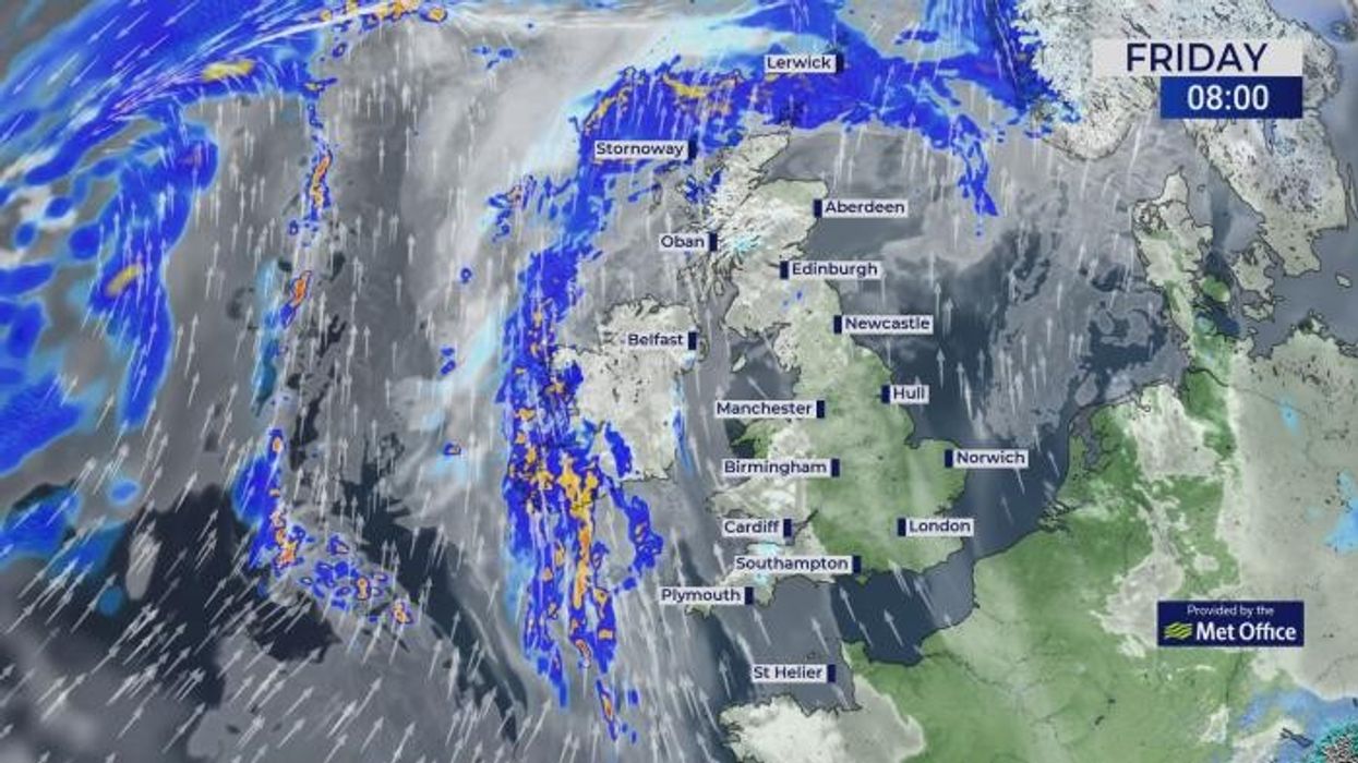
WATCH NOW: Today's weather forecast
|GB News

Much of Britain could plummet to below-freezing temperatures in the run-up to the festive period
Don't Miss
Most Read
Latest
Britons should brace themselves for a frosty start to December, with the mercury predicted to drop to -4C and snowfall on the cards.
The UK has just been battered by two consecutive low-pressure systems - Storm Bert and Storm Conall - with the former sadly taking the lives of five people.
It has also been pummelled with freezing temperatures, with a bone-chilling -11C recorded in Aberdeenshire yesterday.
And as we head into December, the frosty conditions will continue. The beginning of the month will bring with it chilly temperatures and flurries of snow.
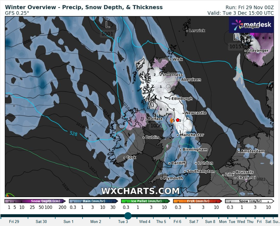
On December 3, up to four inches of snow per hour is expected to fall around Dumfries and Galloway in Scotland
|WXCharts
Weather charts from forecaster WXCharts, which use data from MetDesk, predict that the mercury will plummet to below-freezing across many regions across the UK.
On December 3, up to four inches of snow per hour is expected to fall around Dumfries and Galloway in Scotland.
And in Newcastle, the forecaster predicts two inches of snow per hour, whilst in Manchester, one inch could fall.
Below-freezing temperatures will batter the same regions, with a low of -4C predicted near Loch Lomond.
WEATHER LATEST:
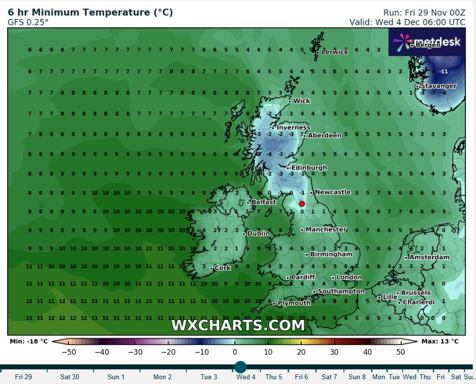
-4C is predicted the following morning in Loch Lomond
|WXCharts
In their early December outlook, the Met Office said: “A cold and frosty start is expected on Tuesday, with some patchy freezing fog in places, which may be slow to clear. Cloud will increase from the west, then later rain for western parts. This may fall as snow at first across Scotland and the Highlands.
“Following a brief settled spell, further fontal systems are expected to move in from the west, more likely to bring rain and breezy conditions for much of the UK, especially northern and western parts.
“Towards the end of the period there are signs for more settled weather becoming amplified across the south of the UK. Temperatures will be close to or below average on Tuesday, then rising above average where frontal systems move in from the west.”
Ahead of the frosty weather next week, more rain is expected in the north and west today.
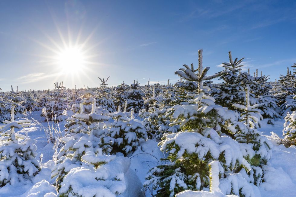
Snow-capped Nordmann Fir and Norway Spruce trees at a farm near Insch in Aberdeenshire
|PA
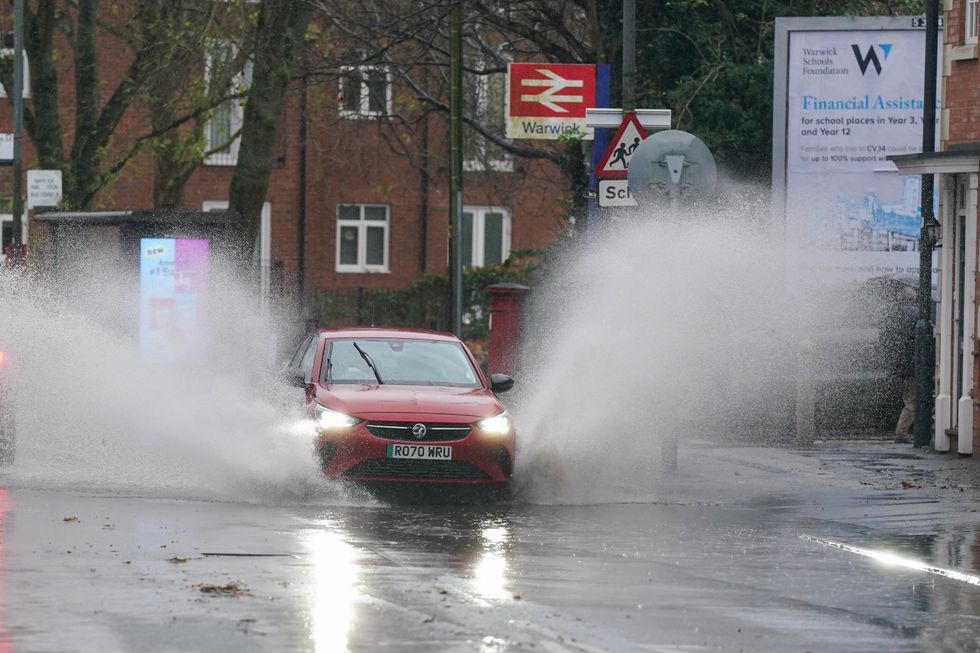 Many parts of Britain were hit by severe flooding from Storm Bert | PA
Showers will also hit eastern regions by the end of the day, but overall, it will be milder overall, peaking at a balmy 13C in Belfast.
A series of snow and ice alerts were put in place across the country last week, as flurries fell across the country.
Travel routes were heavily disrupted in some areas, with many trains cancelled and roads closed. At Newcastle Airport, flights were disrupted due to the heavy snow.


